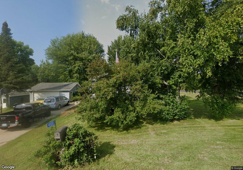
4100 Greenway Cir NE Sauk Rapids, MN 56379
Estimated Value: $289,000 - $334,000
4
Beds
2
Baths
1,551
Sq Ft
$199/Sq Ft
Est. Value
About This Home
This home is located at 4100 Greenway Cir NE, Sauk Rapids, MN 56379 and is currently estimated at $308,197, approximately $198 per square foot. 4100 Greenway Cir NE is a home located in Benton County with nearby schools including Mississippi Heights Elementary School, Sauk Rapids-Rice Middle School, and Sauk Rapids-Rice Senior High School.
Ownership History
Date
Name
Owned For
Owner Type
Purchase Details
Closed on
Apr 6, 2007
Sold by
Rowlesand Dionne N and Rowlesand Tina L
Bought by
Schlichting Tina L and Koski Janel
Current Estimated Value
Home Financials for this Owner
Home Financials are based on the most recent Mortgage that was taken out on this home.
Original Mortgage
$168,000
Interest Rate
5.75%
Mortgage Type
Adjustable Rate Mortgage/ARM
Create a Home Valuation Report for This Property
The Home Valuation Report is an in-depth analysis detailing your home's value as well as a comparison with similar homes in the area
Home Values in the Area
Average Home Value in this Area
Purchase History
| Date | Buyer | Sale Price | Title Company |
|---|---|---|---|
| Schlichting Tina L | -- | -- |
Source: Public Records
Mortgage History
| Date | Status | Borrower | Loan Amount |
|---|---|---|---|
| Previous Owner | Schlichting Tina L | $168,000 |
Source: Public Records
Tax History Compared to Growth
Tax History
| Year | Tax Paid | Tax Assessment Tax Assessment Total Assessment is a certain percentage of the fair market value that is determined by local assessors to be the total taxable value of land and additions on the property. | Land | Improvement |
|---|---|---|---|---|
| 2025 | $2,110 | $252,100 | $66,800 | $185,300 |
| 2024 | $2,052 | $249,400 | $56,100 | $193,300 |
| 2023 | $1,958 | $243,400 | $56,100 | $187,300 |
| 2022 | $1,990 | $211,700 | $57,600 | $154,100 |
| 2021 | $1,784 | $197,700 | $55,600 | $142,100 |
| 2018 | $16 | $137,500 | $47,692 | $89,808 |
| 2017 | $1,472 | $129,400 | $47,055 | $82,345 |
| 2016 | $1,426 | $109,700 | $45,247 | $64,453 |
| 2015 | $1,528 | $110,900 | $45,372 | $65,528 |
| 2014 | -- | $107,500 | $45,008 | $62,492 |
| 2013 | -- | $108,400 | $45,113 | $63,287 |
Source: Public Records
Map
Nearby Homes
- 0 Quail Rd NE
- 4820 15th St NE
- 4860 15th St NE
- 1226 45th Ave NE
- 1102 45th Ave NE
- 1104 45th Ave NE
- 1106 45th Ave NE
- 1108 45th Ave NE
- 971 45th Ave NE
- 4631 9th St NE
- 4634 9th St NE
- 4658 9th St NE
- 4629 8th St NE
- 4653 8th St NE
- 4745 8th Street Loop NE
- 4195 25th St NE
- 4771 8th Street Loop NE
- The Ashton Plan at Waters Edge
- The Mulberry Plan at Waters Edge - Liberty
- The Newport Plan at Waters Edge
- 4150 Greenway Cir NE
- 4230 Greenway Cir NE
- 4200 Greenway Cir NE
- 1498 Westwood Dr NE
- 1494 Westwood Dr NE
- 4175 15th St NE
- 1490 Westwood Dr NE
- 4240 15th St NE
- 4227 15th St NE
- 4177 15th St NE
- 3990 15th St NE
- 4290 15th St NE
- 1300 Meadowbrook Ln NE
- 1485 Westwood Dr NE
- 1290 Meadowbrook Ln NE
- 1280 Meadowbrook Ln NE
- 1295 Meadowbrook Ln NE
- 1270 Meadowbrook Ln NE
- 1287 Meadowbrook Ln NE
- 3900 15th St NE