4100 Pine Point Rd Little Rock, AR 72223
Estimated Value: $671,000 - $862,000
--
Bed
3
Baths
3,606
Sq Ft
$221/Sq Ft
Est. Value
About This Home
This home is located at 4100 Pine Point Rd, Little Rock, AR 72223 and is currently estimated at $796,398, approximately $220 per square foot. 4100 Pine Point Rd is a home located in Pulaski County with nearby schools including Chenal Elementary School, Joe T. Robinson Middle School, and Joe T. Robinson High School.
Ownership History
Date
Name
Owned For
Owner Type
Purchase Details
Closed on
Aug 31, 2006
Sold by
Stillman Joseph L
Bought by
Deitz Corey H and Deitz Mary Christine
Current Estimated Value
Home Financials for this Owner
Home Financials are based on the most recent Mortgage that was taken out on this home.
Original Mortgage
$378,129
Outstanding Balance
$226,529
Interest Rate
6.72%
Mortgage Type
Purchase Money Mortgage
Estimated Equity
$569,869
Create a Home Valuation Report for This Property
The Home Valuation Report is an in-depth analysis detailing your home's value as well as a comparison with similar homes in the area
Home Values in the Area
Average Home Value in this Area
Purchase History
| Date | Buyer | Sale Price | Title Company |
|---|---|---|---|
| Deitz Corey H | $490,000 | American Abstract & Title Co |
Source: Public Records
Mortgage History
| Date | Status | Borrower | Loan Amount |
|---|---|---|---|
| Open | Deitz Corey H | $378,129 |
Source: Public Records
Tax History Compared to Growth
Tax History
| Year | Tax Paid | Tax Assessment Tax Assessment Total Assessment is a certain percentage of the fair market value that is determined by local assessors to be the total taxable value of land and additions on the property. | Land | Improvement |
|---|---|---|---|---|
| 2025 | $3,657 | $132,441 | $29,920 | $102,521 |
| 2024 | $3,657 | $132,441 | $29,920 | $102,521 |
| 2023 | $3,657 | $132,441 | $29,920 | $102,521 |
| 2022 | $3,707 | $132,441 | $29,920 | $102,521 |
| 2021 | $3,707 | $71,980 | $13,600 | $58,380 |
| 2020 | $3,332 | $71,980 | $13,600 | $58,380 |
| 2019 | $3,332 | $71,980 | $13,600 | $58,380 |
| 2018 | $3,357 | $71,980 | $13,600 | $58,380 |
| 2017 | $3,357 | $71,980 | $13,600 | $58,380 |
| 2016 | $4,996 | $98,340 | $20,400 | $77,940 |
| 2015 | $4,996 | $98,340 | $20,400 | $77,940 |
| 2014 | $4,996 | $98,340 | $20,400 | $77,940 |
Source: Public Records
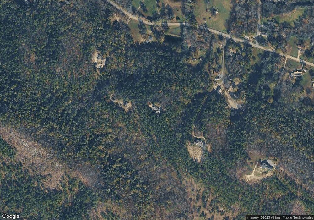
Map
Nearby Homes
- 4109 Garrison Rd
- 23 Witness Tree Ln
- 3110 Ferndale Cut Off Rd
- 5020 Copper Creek Ln
- 0 Garrison Rd E Unit 22020907
- 0 Garrison Rd W Unit 22020890
- 5121 Copper Creek Ln
- 0 Studer Rd
- 25501 Kanis Rd
- 29100 Bandy Rd
- 32315 Kanis Rd
- 0 Garrison Rd N Unit 22021042
- 2003 Lambert Rd
- 10119 Garrison Rd
- 0 Bandy South E Unit 22022758
- 0 Bandy North E Unit 22022753
- 0 Bandy Road South W Unit 22020705
- 6918 Neal Creek Rd
- Lot 4 Wilton Ln Unit Mills Mountain Rd
- 21 Somersett Dr
- 4112 Pine Point Rd
- 4700 Garrison Rd
- 000 Pine Point Rd
- 4720 Garrison Rd
- 4124 Pine Point Rd
- 4620 Garrison Rd
- 4510 Garrison Rd
- 8902 Garrison Rd
- 4918 Garrison Rd
- 4514 Garrison Rd
- 5000 Garrison Rd
- 4410 Garrison Rd
- 4511 Garrison Rd
- 3700 Garrison Rd Unit 1
- 3700 Garrison Rd Unit 2
- 3700 Garrison Rd
- 3700 Garrison Rd Unit 2
- 3700 Garrison Rd Unit 1
- 3700 Garrison Rd
- 3700 Garrison Rd