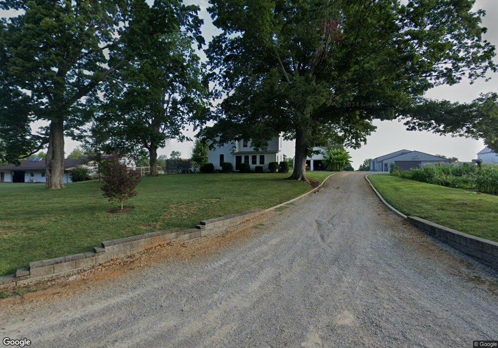
4100 Wheat Ridge Rd West Union, OH 45693
Estimated Value: $295,000 - $535,835
5
Beds
4
Baths
3,244
Sq Ft
$128/Sq Ft
Est. Value
About This Home
This home is located at 4100 Wheat Ridge Rd, West Union, OH 45693 and is currently estimated at $415,418, approximately $128 per square foot. 4100 Wheat Ridge Rd is a home located in Adams County with nearby schools including North Adams Elementary School and North Adams High School.
Ownership History
Date
Name
Owned For
Owner Type
Purchase Details
Closed on
Feb 1, 2018
Sold by
Yutzy Allen and Yutzy Martha
Bought by
Yutzy Aaron and Yutzy Mabel
Current Estimated Value
Purchase Details
Closed on
Jul 5, 2013
Sold by
Yutzy Allen and Yutzy Martha
Bought by
Yutzy Allen and Yutzy Martha
Purchase Details
Closed on
Apr 23, 2001
Bought by
Yutzy Allen A
Create a Home Valuation Report for This Property
The Home Valuation Report is an in-depth analysis detailing your home's value as well as a comparison with similar homes in the area
Home Values in the Area
Average Home Value in this Area
Purchase History
| Date | Buyer | Sale Price | Title Company |
|---|---|---|---|
| Yutzy Aaron | $6,000 | None Available | |
| Yutzy Jonathan | $8,000 | None Available | |
| Yutzy Allen | -- | None Available | |
| Yutzy Allen A | $200,000 | -- |
Source: Public Records
Tax History Compared to Growth
Tax History
| Year | Tax Paid | Tax Assessment Tax Assessment Total Assessment is a certain percentage of the fair market value that is determined by local assessors to be the total taxable value of land and additions on the property. | Land | Improvement |
|---|---|---|---|---|
| 2024 | $2,674 | $140,040 | $98,460 | $41,580 |
| 2023 | $2,612 | $137,980 | $98,460 | $39,520 |
| 2022 | $2,595 | $112,740 | $77,700 | $35,040 |
| 2021 | $2,532 | $112,740 | $77,700 | $35,040 |
| 2020 | $2,585 | $112,740 | $77,700 | $35,040 |
| 2019 | $2,462 | $112,740 | $77,700 | $35,040 |
| 2018 | $2,017 | $102,690 | $72,240 | $30,450 |
| 2017 | $1,961 | $102,690 | $72,240 | $30,450 |
| 2016 | $1,957 | $102,690 | $72,240 | $30,450 |
| 2015 | $2,154 | $95,620 | $60,200 | $35,420 |
| 2014 | $2,156 | $95,620 | $60,200 | $35,420 |
Source: Public Records
Map
Nearby Homes
- 4603 Wheat Ridge Rd
- 4016 Unity Rd
- 3551 Unity Rd
- 210 Walt Alsgood Rd
- 831 Tom Brown Rd
- 2157 Tater Ridge Rd
- 13529 Ohio 247
- 363 Crystal Rd
- 125 Robinette Rd
- 19004 State Route 41
- 0 Tranquility Pike
- 0 Lawshe Rd Unit 1854673
- 0 Paradise Valley Rd Unit 1852764
- ac Ohio 247
- 1.15 ac Ohio 247
- 3460 Logans Ln
- 17479 Ohio 247
- 668 Fawcett Rd
- 292 Larry Baynum Rd
- 1425 Jacksonville Rd
- 4141 Wheat Ridge Rd
- 4185 Wheat Ridge Rd
- 4238 Wheat Ridge Rd
- 4222 Wheat Ridge Rd
- 4222 Wheat Ridge Rd
- 3883 Wheat Ridge Rd
- 4276 Wheat Ridge Rd
- 4489 Unity Rd
- 3824 Wheat Ridge Rd
- 3815 Wheat Ridge Rd
- 3813 Wheat Ridge Rd
- 3813 Wheat Ridge Rd
- 4681 Unity Rd
- 4361 Unity Rd
- 4399 Unity Rd
- 4312 Unity Rd
- 4ac Wheat Ridge Rd
- 4313 Unity Rd
- 3819 Wheat Ridge Rd
- 4791 Unity Rd