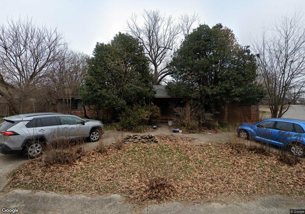
4101 Brant Dr Springdale, AR 72762
Estimated Value: $308,276 - $351,000
4
Beds
2
Baths
1,906
Sq Ft
$172/Sq Ft
Est. Value
About This Home
This home is located at 4101 Brant Dr, Springdale, AR 72762 and is currently estimated at $328,569, approximately $172 per square foot. 4101 Brant Dr is a home located in Washington County with nearby schools including Walker Elementary School, Southwest Junior High School, and Helen Tyson Middle School.
Ownership History
Date
Name
Owned For
Owner Type
Purchase Details
Closed on
Apr 27, 2007
Sold by
Tillery Scott W and Tillery Janet R
Bought by
Gaines Michael Eugene and Gaines Clarine Rae
Current Estimated Value
Home Financials for this Owner
Home Financials are based on the most recent Mortgage that was taken out on this home.
Original Mortgage
$152,900
Outstanding Balance
$92,346
Interest Rate
6.13%
Mortgage Type
Purchase Money Mortgage
Estimated Equity
$236,223
Purchase Details
Closed on
Apr 26, 1995
Bought by
Hays, Patricia J.Ttee Rev Trust
Purchase Details
Closed on
Jan 7, 1976
Bought by
Hays Charles W
Create a Home Valuation Report for This Property
The Home Valuation Report is an in-depth analysis detailing your home's value as well as a comparison with similar homes in the area
Purchase History
| Date | Buyer | Sale Price | Title Company |
|---|---|---|---|
| Gaines Michael Eugene | $153,000 | Stewart Title Of Ar Inc | |
| Hays, Patricia J.Ttee Rev Trust | -- | -- | |
| Hays Charles W | $4,000 | -- |
Source: Public Records
Mortgage History
| Date | Status | Borrower | Loan Amount |
|---|---|---|---|
| Open | Gaines Michael Eugene | $152,900 |
Source: Public Records
Tax History
| Year | Tax Paid | Tax Assessment Tax Assessment Total Assessment is a certain percentage of the fair market value that is determined by local assessors to be the total taxable value of land and additions on the property. | Land | Improvement |
|---|---|---|---|---|
| 2025 | $1,070 | $48,760 | $14,000 | $34,760 |
| 2024 | $1,098 | $48,760 | $14,000 | $34,760 |
| 2023 | $1,130 | $48,760 | $14,000 | $34,760 |
| 2022 | $1,106 | $29,920 | $8,000 | $21,920 |
| 2021 | $1,041 | $29,920 | $8,000 | $21,920 |
| 2020 | $977 | $29,920 | $8,000 | $21,920 |
| 2019 | $912 | $24,430 | $6,000 | $18,430 |
| 2018 | $937 | $24,430 | $6,000 | $18,430 |
| 2017 | $925 | $24,430 | $6,000 | $18,430 |
| 2016 | $925 | $24,430 | $6,000 | $18,430 |
| 2015 | $925 | $24,430 | $6,000 | $18,430 |
| 2014 | $982 | $25,510 | $7,000 | $18,510 |
Source: Public Records
Map
Nearby Homes
- 4006 Miller Dr
- 4102 Brant Dr
- 4003 Chapman Ave
- 4102 Watkins Ave
- 2706 Eidson St
- 2101 Jean St
- 2200 Sandy St
- 2.79 AC 3320 S 48th St
- 5141 Watkins Ave
- 1903 Jean St
- 1706 Jean St
- 1801 Jean St
- 3512 Hamm Ln
- 3540 Hamm Ln
- 3765 Atlanta Place
- 3744 S 48th St
- 1463 & 1431 S 48th St
- 3955 Georgia St
- 4108 Savannah Ln
- 0 Gene George Blvd Unit 1331863
Your Personal Tour Guide
Ask me questions while you tour the home.