4103 Highway 24 Anderson, SC 29626
Estimated Value: $90,372
--
Bed
--
Bath
2,100
Sq Ft
$43/Sq Ft
Est. Value
About This Home
This home is located at 4103 Highway 24, Anderson, SC 29626 and is currently priced at $90,372, approximately $43 per square foot. 4103 Highway 24 is a home located in Anderson County with nearby schools including McLees Elementary School, Robert Anderson Middle School, and Westside High School.
Ownership History
Date
Name
Owned For
Owner Type
Purchase Details
Closed on
Jan 26, 2023
Sold by
Gundavaram Shiva P
Bought by
Galaxy Rental Properties Llc
Current Estimated Value
Purchase Details
Closed on
Nov 19, 2018
Sold by
Cunningham Sarah Abigail Lane and Lane Rachel Glenna
Bought by
Mccurley Jody L
Purchase Details
Closed on
Jun 12, 2018
Sold by
Estate Of David Lane
Bought by
Cunningham Sarah Abigail Lane and Lane Rachel Glenna
Purchase Details
Closed on
Jul 18, 2016
Sold by
Zenoni Adam A and Zenoni Arthur A
Bought by
Lane Carl David
Create a Home Valuation Report for This Property
The Home Valuation Report is an in-depth analysis detailing your home's value as well as a comparison with similar homes in the area
Home Values in the Area
Average Home Value in this Area
Purchase History
| Date | Buyer | Sale Price | Title Company |
|---|---|---|---|
| Galaxy Rental Properties Llc | -- | -- | |
| Mccurley Jody L | $60,000 | None Available | |
| Cunningham Sarah Abigail Lane | -- | None Available | |
| Lane Carl David | $90,000 | None Available |
Source: Public Records
Tax History Compared to Growth
Tax History
| Year | Tax Paid | Tax Assessment Tax Assessment Total Assessment is a certain percentage of the fair market value that is determined by local assessors to be the total taxable value of land and additions on the property. | Land | Improvement |
|---|---|---|---|---|
| 2024 | $3,701 | $11,550 | $3,920 | $7,630 |
| 2023 | $3,701 | $11,550 | $3,920 | $7,630 |
| 2022 | $1,318 | $6,830 | $3,920 | $2,910 |
| 2021 | $1,194 | $3,670 | $1,200 | $2,470 |
| 2020 | $1,176 | $3,670 | $1,200 | $2,470 |
| 2019 | $1,176 | $3,670 | $1,200 | $2,470 |
| 2018 | $1,792 | $5,670 | $3,200 | $2,470 |
| 2017 | -- | $5,670 | $3,200 | $2,470 |
| 2016 | $2,416 | $9,000 | $3,200 | $5,800 |
| 2015 | $2,441 | $9,000 | $3,200 | $5,800 |
| 2014 | $2,406 | $9,000 | $3,200 | $5,800 |
Source: Public Records
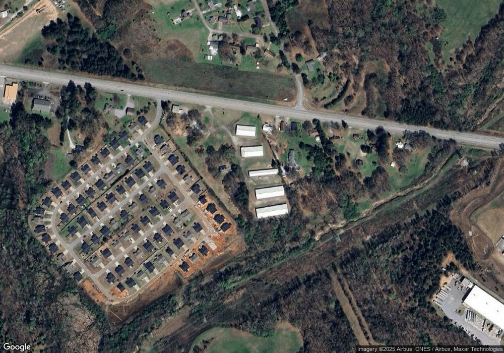
Map
Nearby Homes
- 4123 Old Portman Rd
- 924 Axmann Dr
- 108 Lakewood Ln
- 4082 Old Portman Rd
- 201 Knollwood Dr
- 424 Shore Line Dr
- 433 Shore Line Dr
- 110 Peartree Ln
- 114 Peartree Ln
- 215 Spruce Creek
- 347 Knollwood Dr
- 144 Old Asbury Rd
- 143 Pheasant Ridge Dr
- 2153 Scarborough Rd
- TR 1-A, TR-2, TR-S Singleton Rd
- 129 Saddle Brook
- 102 Country Garden Ln
- 202 Highway 187 S
- 100 Toliver Ln
- 101 Victorian Dr
- 4105 Highway 24
- 4128 Old Portman Rd
- 4124 Old Portman Rd
- 4141 Old Portman Rd Unit B
- 4139 Old Portman Rd Unit B
- 4141 Old Portman Rd Unit A
- 4139 Old Portman Rd
- 4141 Old Portman Rd
- 4035 S Carolina 24
- 1002 Wiles Dr
- 901 Axman Dr
- 1004 Wiles Dr
- 1003 Wiles Dr
- 4125 Old Portman Rd
- 903 Axman Dr
- 4120 Old Portman Rd
- 4116 Highway 24
- 4011 Highway 24
- 904 Axmann Dr
- 904 Axman Dr