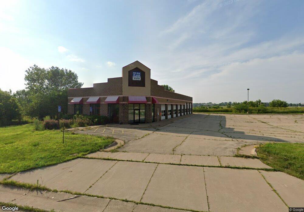
4103 McDonald Dr Dubuque, IA 52003
Estimated Value: $752,782
--
Bed
--
Bath
7,140
Sq Ft
$105/Sq Ft
Est. Value
About This Home
This home is located at 4103 McDonald Dr, Dubuque, IA 52003 and is currently priced at $752,782, approximately $105 per square foot. 4103 McDonald Dr is a home located in Dubuque County with nearby schools including Hoover Elementary School, Eleanor Roosevelt Middle School, and Hempstead High School.
Ownership History
Date
Name
Owned For
Owner Type
Purchase Details
Closed on
Feb 17, 2022
Sold by
Geneva Pacific Capital Llc
Bought by
Naduia001 Llc
Current Estimated Value
Purchase Details
Closed on
Jan 6, 2022
Sold by
Jjr Investments Llc
Bought by
Geneva Pacific Capital Llc
Purchase Details
Closed on
Dec 7, 2016
Sold by
Campbell Properties Limited Partnership
Bought by
Jjr Investments Llc
Purchase Details
Closed on
Feb 9, 2012
Sold by
Lausen Brothers Enterprises
Bought by
Campbell Properties Limited Partnership
Create a Home Valuation Report for This Property
The Home Valuation Report is an in-depth analysis detailing your home's value as well as a comparison with similar homes in the area
Home Values in the Area
Average Home Value in this Area
Purchase History
| Date | Buyer | Sale Price | Title Company |
|---|---|---|---|
| Naduia001 Llc | $1,746,500 | Haugh & Associates | |
| Geneva Pacific Capital Llc | $650,000 | None Listed On Document | |
| Jjr Investments Llc | -- | None Available | |
| Campbell Properties Limited Partnership | $650,000 | None Available |
Source: Public Records
Tax History Compared to Growth
Tax History
| Year | Tax Paid | Tax Assessment Tax Assessment Total Assessment is a certain percentage of the fair market value that is determined by local assessors to be the total taxable value of land and additions on the property. | Land | Improvement |
|---|---|---|---|---|
| 2025 | $34,388 | $1,455,200 | $358,600 | $1,096,600 |
| 2024 | $34,388 | $1,331,200 | $358,600 | $972,600 |
| 2023 | $34,118 | $1,331,200 | $358,600 | $972,600 |
| 2022 | $15,344 | $640,560 | $307,350 | $333,210 |
| 2021 | $15,344 | $640,560 | $307,350 | $333,210 |
| 2020 | $16,138 | $640,560 | $307,350 | $333,210 |
| 2019 | $15,876 | $640,560 | $307,350 | $333,210 |
| 2018 | $18,776 | $632,543 | $286,866 | $345,677 |
| 2017 | $19,180 | $726,141 | $286,866 | $439,275 |
| 2016 | $19,236 | $726,141 | $286,866 | $439,275 |
| 2015 | $19,236 | $726,141 | $286,866 | $439,275 |
| 2014 | $17,186 | $648,340 | $256,130 | $392,210 |
Source: Public Records
Map
Nearby Homes
- 0 Associates Dr
- 1555 Donovan Dr
- 3455 Daniels St
- 1754 Vizaleea Dr
- 1743 Lea Ln
- 3428 Crestwood Dr
- 3427 Crestwood Dr
- 3424 Glencove Ln
- 1876 North Ct
- 3695 Keystone Dr
- 3160 Sequoia Cir
- 3962 Aurora St
- 2023 Clifford St
- 3130 Ideal Ln
- 4223 Chavenelle Rd
- 1846 Carter Rd
- 3280 Lake Front Dr
- 3631 Keymeer Dr
- 3660 Hillcrest Rd
- 3211 N Cedar Ct
- 4099 McDonald Dr
- Lot 2-1 Wal-Mart Sub St Unit Access points off of
- 4370 Dodge St
- 4390 Dodge St
- 155 N Crescent Ridge
- 175 N Crescent Ridge
- 3925 Dodge St
- 3674 Crescent Ridge
- 2 Oak Grove Dr
- 3669 Crescent Ridge
- 15 Oak Grove Dr
- 25 Oak Grove Dr
- 190 N Crescent Ridge
- 35 Oak Grove Dr
- 3663 Crescent Ridge
- Lot 2 and 3 Oak Grove Dr
- 3652 Crescent Ridge
- 10 Oak Grove Dr
- 20 Oak Grove Dr
- 3651 Crescent Ridge