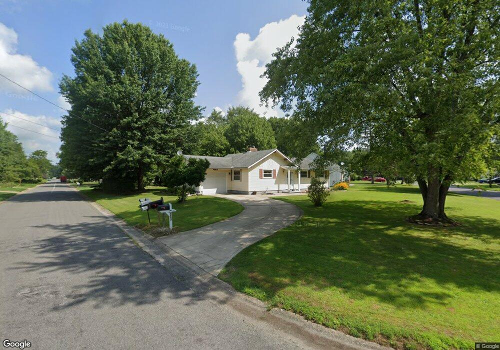
4103 Ruth Dr Rootstown, OH 44272
Estimated Value: $171,696 - $207,000
3
Beds
1
Bath
1,092
Sq Ft
$168/Sq Ft
Est. Value
About This Home
This home is located at 4103 Ruth Dr, Rootstown, OH 44272 and is currently estimated at $183,674, approximately $168 per square foot. 4103 Ruth Dr is a home located in Portage County with nearby schools including Rootstown Middle School - Schnee Building and Rootstown High School.
Ownership History
Date
Name
Owned For
Owner Type
Purchase Details
Closed on
Mar 26, 2008
Sold by
Beneficial Ohio Inc
Bought by
Dawson Donna J
Current Estimated Value
Home Financials for this Owner
Home Financials are based on the most recent Mortgage that was taken out on this home.
Original Mortgage
$62,000
Outstanding Balance
$38,478
Interest Rate
6.1%
Mortgage Type
Purchase Money Mortgage
Estimated Equity
$145,196
Purchase Details
Closed on
Nov 19, 2007
Sold by
Garner Wanda L and Garner Wanda Lee
Bought by
Beneficial Ohio Inc
Purchase Details
Closed on
Jun 10, 1991
Bought by
Garner Wanda L
Create a Home Valuation Report for This Property
The Home Valuation Report is an in-depth analysis detailing your home's value as well as a comparison with similar homes in the area
Purchase History
| Date | Buyer | Sale Price | Title Company |
|---|---|---|---|
| Dawson Donna J | $89,000 | Sovereign Title Agency Llc | |
| Beneficial Ohio Inc | $83,334 | None Available | |
| Garner Wanda L | -- | -- |
Source: Public Records
Mortgage History
| Date | Status | Borrower | Loan Amount |
|---|---|---|---|
| Open | Dawson Donna J | $62,000 |
Source: Public Records
Tax History
| Year | Tax Paid | Tax Assessment Tax Assessment Total Assessment is a certain percentage of the fair market value that is determined by local assessors to be the total taxable value of land and additions on the property. | Land | Improvement |
|---|---|---|---|---|
| 2025 | $1,674 | $49,040 | $8,650 | $40,390 |
| 2024 | $1,624 | $49,040 | $8,650 | $40,390 |
| 2023 | $1,317 | $37,250 | $8,650 | $28,600 |
| 2022 | $1,310 | $37,250 | $8,650 | $28,600 |
| 2021 | $1,302 | $37,250 | $8,650 | $28,600 |
| 2020 | $1,563 | $33,290 | $8,650 | $24,640 |
| 2019 | $1,569 | $33,290 | $8,650 | $24,640 |
| 2018 | $1,403 | $28,150 | $8,650 | $19,500 |
| 2017 | $1,403 | $28,150 | $8,650 | $19,500 |
| 2016 | $1,370 | $28,150 | $8,650 | $19,500 |
| 2015 | $1,369 | $28,150 | $8,650 | $19,500 |
| 2014 | $1,395 | $28,150 | $8,650 | $19,500 |
| 2013 | $1,385 | $28,150 | $8,650 | $19,500 |
Source: Public Records
Map
Nearby Homes
- 4079 Siefer Dr
- 0 Lynn Rd Unit 5110102
- 3689 Cherry Hill
- 3701 State Route 44
- V/L 2 Lynn Rd
- V/L Lynn Rd
- 4415 Farmette Dr
- 4200 Hattrick Rd
- sub lot Lane Ave
- 0 Tallmadge Rd Unit 5189301
- 0 Tallmadge Rd Unit 5189314
- 4556 Rootstown Rd
- 4140 Sandy Lake Rd
- 4058 Bayberry Knoll Ln
- 3637 Old Forge Rd
- 5394 Juniper Ct
- 3021 Hartville Rd
- 3925 Summit Rd
- 2978 Sandy Lake Rd
- 1065 Shadowlawn Dr
Your Personal Tour Guide
Ask me questions while you tour the home.