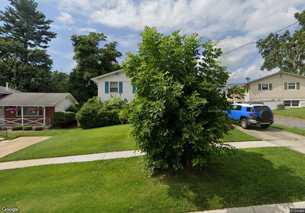
4103 Weller Rd Silver Spring, MD 20906
Connecticut Avenue Park NeighborhoodEstimated Value: $472,712 - $547,000
3
Beds
2
Baths
1,420
Sq Ft
$357/Sq Ft
Est. Value
About This Home
This home is located at 4103 Weller Rd, Silver Spring, MD 20906 and is currently estimated at $506,678, approximately $356 per square foot. 4103 Weller Rd is a home located in Montgomery County with nearby schools including Sargent Shriver Elementary School, A. Mario Loiederman Middle School, and Wheaton High School.
Ownership History
Date
Name
Owned For
Owner Type
Purchase Details
Closed on
Jun 17, 2010
Sold by
Brogan Leo J and Brogan Sean K
Bought by
Mallari Esther F
Current Estimated Value
Purchase Details
Closed on
Feb 26, 2001
Sold by
Brogan Leo J and Brogan M A
Bought by
Brogan Sean K
Create a Home Valuation Report for This Property
The Home Valuation Report is an in-depth analysis detailing your home's value as well as a comparison with similar homes in the area
Home Values in the Area
Average Home Value in this Area
Purchase History
| Date | Buyer | Sale Price | Title Company |
|---|---|---|---|
| Mallari Esther F | $292,000 | -- | |
| Brogan Sean K | -- | -- |
Source: Public Records
Tax History
| Year | Tax Paid | Tax Assessment Tax Assessment Total Assessment is a certain percentage of the fair market value that is determined by local assessors to be the total taxable value of land and additions on the property. | Land | Improvement |
|---|---|---|---|---|
| 2025 | $5,124 | $398,600 | $155,400 | $243,200 |
| 2024 | $5,124 | $381,633 | $0 | $0 |
| 2023 | $4,213 | $364,667 | $0 | $0 |
| 2022 | $3,798 | $347,700 | $155,400 | $192,300 |
| 2021 | $3,554 | $341,167 | $0 | $0 |
| 2020 | $3,554 | $334,633 | $0 | $0 |
| 2019 | $3,447 | $328,100 | $165,800 | $162,300 |
| 2018 | $3,281 | $315,367 | $0 | $0 |
| 2017 | $3,190 | $302,633 | $0 | $0 |
| 2016 | $3,365 | $289,900 | $0 | $0 |
| 2015 | $3,365 | $284,200 | $0 | $0 |
| 2014 | $3,365 | $278,500 | $0 | $0 |
Source: Public Records
Map
Nearby Homes
- 12300 Downer Dr
- 12514 Turkey Branch Pkwy
- 12420 Feldon St
- 12828 Littleton St
- 12317 Middle Rd
- 12800 Connecticut Ave
- 4500 Furman Ct
- 13006 Parkland Dr
- 13017 Parkland Dr
- 4104 Tulare Dr
- 3405 Fredale St
- 12220 Centerhill St
- 3409 Janet Rd
- 13216 Turkey Branch Pkwy
- 3701 Kenway St
- 3410 Embry St
- 13103 Magellan Ave
- 12106 Bluhill Rd
- 4718 Mercury Dr
- 4623 Wissahican Ave
- 12600 Barbara Rd
- 4105 Weller Rd
- 4102 Havard St
- 4104 Havard St
- 4107 Weller Rd
- 4100 Havard St
- 4106 Havard St
- 12514 Barbara Rd
- 4109 Weller Rd
- 4108 Havard St
- 4106 Weller Rd
- 12601 Barbara Rd
- 4110 Havard St
- 12519 Barbara Rd
- 4111 Weller Rd
- 12512 Barbara Rd
- 4016 Havard St
- 4108 Weller Rd
- 12517 Barbara Rd
- 4112 Havard St
Your Personal Tour Guide
Ask me questions while you tour the home.