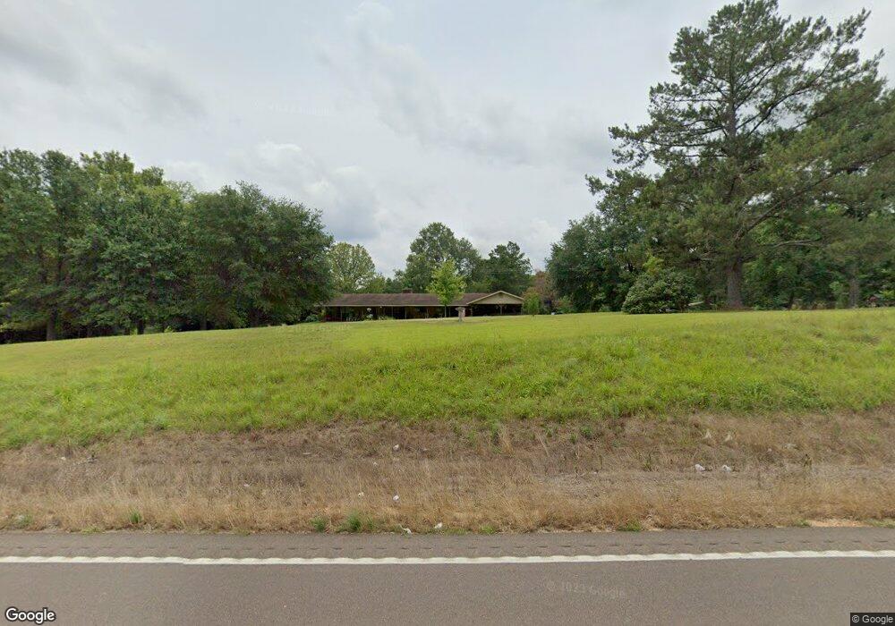
4106 Highway 44 E McComb, MS 39648
Estimated Value: $223,000 - $324,000
Studio
--
Bath
3,490
Sq Ft
$74/Sq Ft
Est. Value
About This Home
This home is located at 4106 Highway 44 E, McComb, MS 39648 and is currently estimated at $256,575, approximately $73 per square foot. 4106 Highway 44 E is a home with nearby schools including North Pike Elementary School, North Pike Middle School, and North Pike Senior High School.
Ownership History
Date
Name
Owned For
Owner Type
Purchase Details
Closed on
Mar 19, 2009
Sold by
Davis Mary R
Bought by
Brumfield Joseph B and Brumfield Dana D
Current Estimated Value
Home Financials for this Owner
Home Financials are based on the most recent Mortgage that was taken out on this home.
Original Mortgage
$110,200
Outstanding Balance
$72,908
Interest Rate
5.29%
Mortgage Type
New Conventional
Estimated Equity
$183,667
Create a Home Valuation Report for This Property
The Home Valuation Report is an in-depth analysis detailing your home's value as well as a comparison with similar homes in the area
Purchase History
| Date | Buyer | Sale Price | Title Company |
|---|---|---|---|
| Brumfield Joseph B | -- | None Available |
Source: Public Records
Mortgage History
| Date | Status | Borrower | Loan Amount |
|---|---|---|---|
| Open | Brumfield Joseph B | $110,200 |
Source: Public Records
Tax History
| Year | Tax Paid | Tax Assessment Tax Assessment Total Assessment is a certain percentage of the fair market value that is determined by local assessors to be the total taxable value of land and additions on the property. | Land | Improvement |
|---|---|---|---|---|
| 2025 | $1,588 | $13,950 | $0 | $0 |
| 2024 | $1,342 | $11,953 | $0 | $0 |
| 2023 | $1,307 | $11,953 | $0 | $0 |
| 2022 | $1,284 | $11,953 | $0 | $0 |
| 2021 | $1,280 | $11,953 | $0 | $0 |
| 2020 | $1,358 | $12,495 | $0 | $0 |
| 2019 | $1,318 | $12,495 | $0 | $0 |
| 2018 | $1,305 | $12,480 | $0 | $0 |
| 2017 | $1,271 | $12,480 | $0 | $0 |
| 2016 | $1,087 | $12,480 | $0 | $0 |
| 2015 | $1,042 | $12,362 | $0 | $0 |
| 2014 | $1,013 | $12,362 | $0 | $0 |
| 2013 | -- | $12,315 | $0 | $0 |
Source: Public Records
Map
Nearby Homes
- 1022 Friendship Cir
- 0 Rolling Oaks Dr
- 1011 Rolling Oaks Dr
- 1086 Stewart Mill Rd
- 1171 Friendship Rd
- 1028 Chester Reeves Rd
- 1021 Great Point Rd
- 0 Deer Ridge Rd
- 7020 Gibson Rd
- 1024 Sabrina Dr
- Tbd Hwy 570 River Road N and S
- 2067 McComb Hville Rd
- 1011 Eastover Ln
- 6121 Gibson Rd
- 0 Gibson Rd and Fortenberry Cir Unit 4128519
- No Integrity Rd
- 0 Integrity Rd
- XXX Brewer Ln
- 1073 Hillcrest Farms Ln
- 1086 Mississippi 570
- 4090 Highway 44 E
- 4134 Hwy 44e
- 4134 Mississippi 44
- 4134 Highway 44 E
- 4055 Highway 44 E
- 4059 Highway 44 E
- 4001 Highway 44 E
- 4015 Highway 44 E
- 4019 Highway 44 E
- 4052 Highway 44 E
- 4036 Highway 44 E
- 4036 Hwy 44 E
- 4054 Hwy 44 E
- 4054 Highway 44 E
- 4117 Highway 44 E
- 4178 Highway 44 E
- 4021 Highway 44 E
- 1035 Friendship Cir
- 1027 Friendship Cir
- 4012 Hwy 44e
Your Personal Tour Guide
Ask me questions while you tour the home.