4107 Sequoia Dr Westminster, MD 21157
Estimated Value: $718,000 - $887,000
Studio
3
Baths
3,407
Sq Ft
$233/Sq Ft
Est. Value
About This Home
This home is located at 4107 Sequoia Dr, Westminster, MD 21157 and is currently estimated at $794,785, approximately $233 per square foot. 4107 Sequoia Dr is a home located in Carroll County with nearby schools including Winfield Elementary School, Mount Airy Middle School, and South Carroll High School.
Ownership History
Date
Name
Owned For
Owner Type
Purchase Details
Closed on
Jul 30, 2003
Sold by
Bledsoe Michael E
Bought by
Bledsoe Michael E and Bledsoe Melinda D
Current Estimated Value
Purchase Details
Closed on
Jul 20, 1994
Sold by
Kaufman Joel
Bought by
Bledsoe Michael E
Home Financials for this Owner
Home Financials are based on the most recent Mortgage that was taken out on this home.
Original Mortgage
$40,000
Interest Rate
8.19%
Create a Home Valuation Report for This Property
The Home Valuation Report is an in-depth analysis detailing your home's value as well as a comparison with similar homes in the area
Purchase History
| Date | Buyer | Sale Price | Title Company |
|---|---|---|---|
| Bledsoe Michael E | -- | -- | |
| Bledsoe Michael E | $60,000 | -- |
Source: Public Records
Mortgage History
| Date | Status | Borrower | Loan Amount |
|---|---|---|---|
| Previous Owner | Bledsoe Michael E | $40,000 |
Source: Public Records
Tax History
| Year | Tax Paid | Tax Assessment Tax Assessment Total Assessment is a certain percentage of the fair market value that is determined by local assessors to be the total taxable value of land and additions on the property. | Land | Improvement |
|---|---|---|---|---|
| 2025 | $7,383 | $653,967 | $0 | $0 |
| 2024 | $7,147 | $632,900 | $183,000 | $449,900 |
| 2023 | $6,699 | $592,900 | $0 | $0 |
| 2022 | $6,251 | $552,900 | $0 | $0 |
| 2021 | $11,832 | $512,900 | $153,000 | $359,900 |
| 2020 | $5,805 | $508,400 | $0 | $0 |
| 2019 | $5,754 | $503,900 | $0 | $0 |
| 2018 | $5,652 | $499,400 | $153,000 | $346,400 |
| 2017 | $5,652 | $499,400 | $0 | $0 |
| 2016 | -- | $499,400 | $0 | $0 |
| 2015 | -- | $499,600 | $0 | $0 |
| 2014 | -- | $492,267 | $0 | $0 |
Source: Public Records
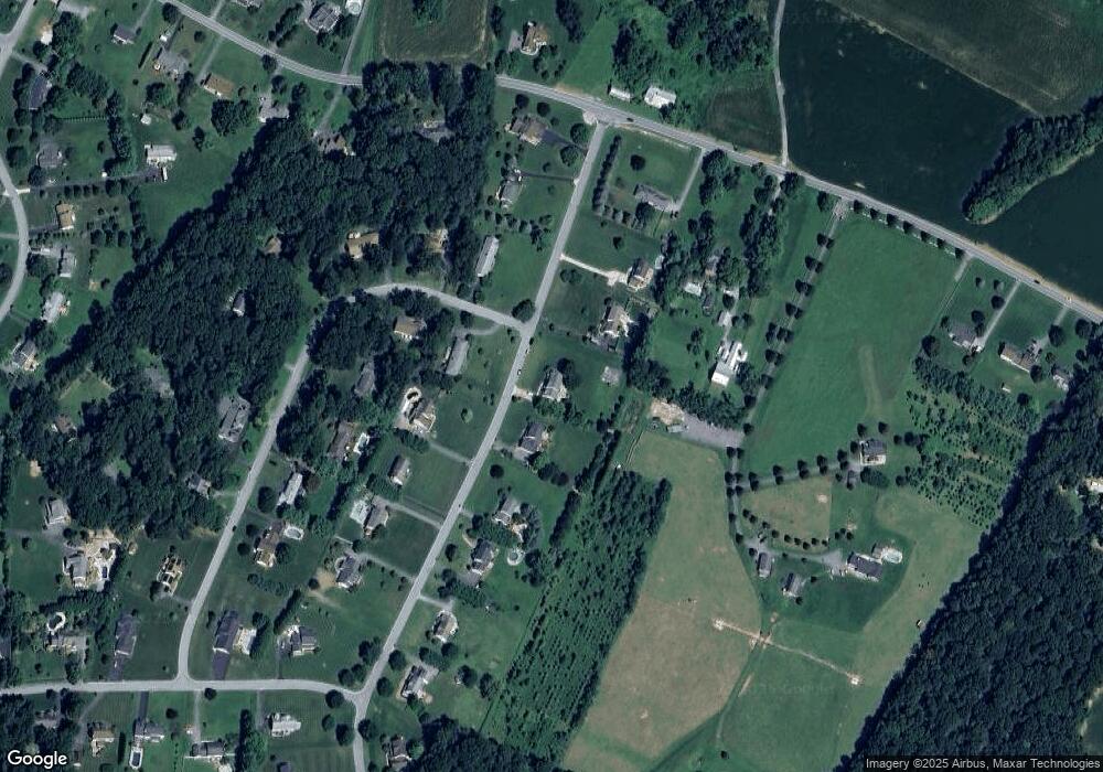
Map
Nearby Homes
- 4505 Gray Horse Dr
- 2514 W Liberty Rd
- 2613 Liberty Rd
- 4328 Ridge Rd Unit 13
- 4328 Ridge Rd Unit 14
- Lot 15 Westview Rd
- Lot 15 Westview Dr
- 3174 Cardinal Dr
- 3026 Marston Rd
- 970 Oak Tree Rd
- 3007 Merle Ct
- 4525 Roop Rd
- 4814 Ridge Rd
- 3011 Glenvue Dr
- 2900 Marston Rd
- 3002 Glenvue Dr
- 1211 Bloom Rd
- 2507 Gillis Rd
- 0 Bear Branch Rd
- 15539 Liberty Rd
- 4109 Sequoia Dr
- 4105 Sequoia Dr
- 4201 Navajo Dr
- 4110 Sequoia Dr
- 4111 Sequoia Dr
- 4104 Sequoia Dr
- 4103 Sequoia Dr
- 4112 Sequoia Dr
- 4203 Navajo Dr
- 4202 Navajo Dr
- 4102 Sequoia Dr
- 4113 Sequoia Dr
- 4207 Navajo Dr
- 2001 Sams Creek Rd
- 4114 Sequoia Dr
- 2029 Sams Creek Rd
- 4211 Navajo Dr
- 4204 Navajo Dr
- 4100 Sequoia Dr
- 4115 Sequoia Dr
Your Personal Tour Guide
Ask me questions while you tour the home.