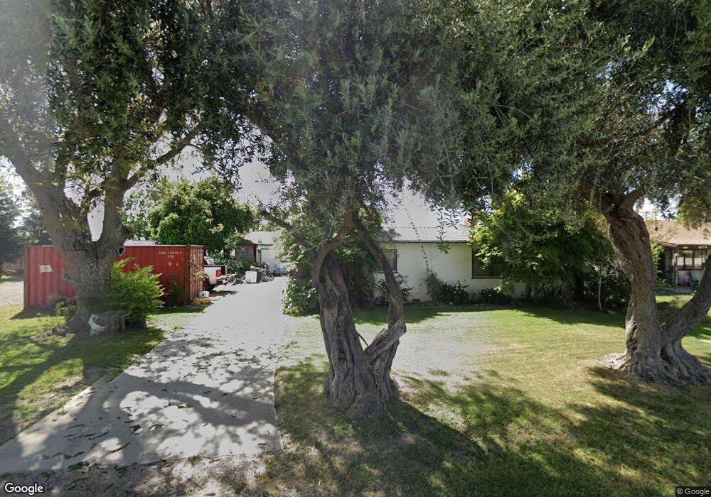
4109 N Sperry Rd Denair, CA 95316
Estimated Value: $373,000 - $559,000
3
Beds
1
Bath
1,372
Sq Ft
$339/Sq Ft
Est. Value
About This Home
This home is located at 4109 N Sperry Rd, Denair, CA 95316 and is currently estimated at $464,870, approximately $338 per square foot. 4109 N Sperry Rd is a home located in Stanislaus County with nearby schools including Denair Elementary School, Denair Middle School, and Denair High School.
Ownership History
Date
Name
Owned For
Owner Type
Purchase Details
Closed on
Nov 27, 2018
Sold by
Sanders Sherrill P and Sanders Barbara J
Bought by
Sanders Sherrill and Sanders Barbara
Current Estimated Value
Purchase Details
Closed on
May 24, 2012
Sold by
Sanders Barbara J
Bought by
Sanders Sherrill P and Sanders Barbara J
Purchase Details
Closed on
Jul 17, 1996
Sold by
White Chester E
Bought by
White Chester E and White Mary C
Create a Home Valuation Report for This Property
The Home Valuation Report is an in-depth analysis detailing your home's value as well as a comparison with similar homes in the area
Home Values in the Area
Average Home Value in this Area
Purchase History
| Date | Buyer | Sale Price | Title Company |
|---|---|---|---|
| Sanders Sherrill | -- | None Available | |
| Sanders Sherrill P | -- | None Available | |
| Sanders Barbara J | -- | None Available | |
| Sanders Barbara J | -- | None Available | |
| White Chester E | -- | -- |
Source: Public Records
Tax History Compared to Growth
Tax History
| Year | Tax Paid | Tax Assessment Tax Assessment Total Assessment is a certain percentage of the fair market value that is determined by local assessors to be the total taxable value of land and additions on the property. | Land | Improvement |
|---|---|---|---|---|
| 2025 | $1,299 | $104,057 | $41,343 | $62,714 |
| 2024 | $1,271 | $102,018 | $40,533 | $61,485 |
| 2023 | $1,236 | $100,019 | $39,739 | $60,280 |
| 2022 | $1,211 | $98,059 | $38,960 | $59,099 |
| 2021 | $1,207 | $96,138 | $38,197 | $57,941 |
| 2020 | $1,195 | $95,153 | $37,806 | $57,347 |
| 2019 | $1,137 | $93,288 | $37,065 | $56,223 |
| 2018 | $1,143 | $91,460 | $36,339 | $55,121 |
| 2017 | $1,111 | $89,668 | $35,627 | $54,041 |
| 2016 | $1,105 | $87,911 | $34,929 | $52,982 |
| 2015 | $1,055 | $86,592 | $34,405 | $52,187 |
| 2014 | $1,052 | $84,897 | $33,732 | $51,165 |
Source: Public Records
Map
Nearby Homes
- 3749 San Joaquin Ave
- 4910 E Zeering Rd
- 3541 Fresno St
- 3209 Berg Ave
- 4625 E Monte Vista Ave
- 3306 Story Rd
- 2912 Marazan St
- 3100 Liquid Amber Dr
- 3620 E Monte Vista Ave
- 3418 N Waring Rd Unit 71
- 4423 E Tuolumne Rd
- 4513 E Tuolumne Rd
- 2880 N Quincy Rd
- 2791 E Tuolumne Rd
- 2127 Bristol Park Cir
- 3703 Brookstone Dr
- 4227 Ivory Ln
- 3200 Brookstone Dr
- 3600 E Hawkeye Ave
- 2575 Kensington Ct
- 4041 N Sperry Rd
- 4101 N Sperry Rd
- 4317 E Zeering Rd
- 4080 Santa fe Ave
- 4117 N Sperry Rd
- 4333 E Zeering Rd
- 4100 N Sperry Rd
- 4133 N Sperry Rd
- 4201 S Sperry Rd
- 4141 N Sperry Rd
- 4108 N Sperry Rd
- 4132 N Sperry Rd
- 4200 Wilder Way
- 3900 Santa fe Ave
- 3900 N Santa fe Ave
- 4201 Wilder Way Unit 102
- 4201 Wilder Way
- 4217 N Sperry Rd
- 3908 Santa fe Ave
- 4204 Arden Ct