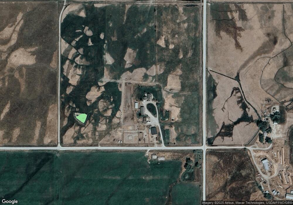
41099 Roberts Rd Charlo, MT 59824
Estimated Value: $871,000 - $1,453,488
6
Beds
4
Baths
4,600
Sq Ft
$258/Sq Ft
Est. Value
About This Home
This home is located at 41099 Roberts Rd, Charlo, MT 59824 and is currently estimated at $1,188,163, approximately $258 per square foot. 41099 Roberts Rd is a home located in Lake County with nearby schools including Charlo Elementary School, Charlo Junior High School, and Charlo High School.
Ownership History
Date
Name
Owned For
Owner Type
Purchase Details
Closed on
Mar 28, 2012
Sold by
Hutchinson Roger A and Hutchinson Therese E
Bought by
Long Mack and Long Connie
Current Estimated Value
Home Financials for this Owner
Home Financials are based on the most recent Mortgage that was taken out on this home.
Original Mortgage
$288,000
Outstanding Balance
$198,172
Interest Rate
3.83%
Mortgage Type
New Conventional
Estimated Equity
$989,991
Purchase Details
Closed on
Jan 3, 2007
Sold by
Hutchinson Roger and Hutchinson Therese
Bought by
Hutchinson Roger A and Hutchinson Therese E
Home Financials for this Owner
Home Financials are based on the most recent Mortgage that was taken out on this home.
Original Mortgage
$434,000
Interest Rate
6.09%
Mortgage Type
New Conventional
Create a Home Valuation Report for This Property
The Home Valuation Report is an in-depth analysis detailing your home's value as well as a comparison with similar homes in the area
Purchase History
| Date | Buyer | Sale Price | Title Company |
|---|---|---|---|
| Long Mack | -- | None Available | |
| Hutchinson Roger A | -- | First American Title Co |
Source: Public Records
Mortgage History
| Date | Status | Borrower | Loan Amount |
|---|---|---|---|
| Open | Long Mack | $288,000 | |
| Previous Owner | Hutchinson Roger A | $434,000 |
Source: Public Records
Tax History
| Year | Tax Paid | Tax Assessment Tax Assessment Total Assessment is a certain percentage of the fair market value that is determined by local assessors to be the total taxable value of land and additions on the property. | Land | Improvement |
|---|---|---|---|---|
| 2025 | $6,826 | $1,046,665 | $0 | $0 |
| 2024 | $7,366 | $854,617 | $0 | $0 |
| 2023 | $7,047 | $854,617 | $0 | $0 |
| 2022 | $6,401 | $654,642 | $0 | $0 |
| 2021 | $6,219 | $654,642 | $0 | $0 |
| 2020 | $5,916 | $576,748 | $0 | $0 |
| 2019 | $6,002 | $576,748 | $0 | $0 |
| 2018 | $5,601 | $539,615 | $0 | $0 |
| 2017 | $6,172 | $561,385 | $0 | $0 |
| 2016 | $5,310 | $489,605 | $0 | $0 |
| 2015 | $5,450 | $489,605 | $0 | $0 |
| 2014 | $3,500 | $259,711 | $0 | $0 |
Source: Public Records
Map
Nearby Homes
- Nhn Gallagher Rd
- 42730 Ridgeway Rd
- 54650 Herak Rd
- NHN Gallagher Ln
- 41938 Gallagher Ln
- Gallagher Ln
- 57631 D'Aste Ln
- 57870 Crow Dam Rd
- 58410 Crow Dam Rd
- 38594 4th St W
- 56619 Mount Highway 212
- 37521 Dublin Gulch Rd
- 58406 Moiese Valley Rd
- 45292 Locust Ln
- 36670 Pinsoneault Rd
- NHN Waymaker Ln
- NHN Bigfoot Trail
- 73579 Us Highway 93
- 57417 Lower Crossing Rd
- 53315 Timberline Way
Your Personal Tour Guide
Ask me questions while you tour the home.