411 Currahee Point Toccoa, GA 30577
Estimated Value: $712,771 - $1,126,000
3
Beds
3
Baths
2,021
Sq Ft
$432/Sq Ft
Est. Value
About This Home
This home is located at 411 Currahee Point, Toccoa, GA 30577 and is currently estimated at $873,943, approximately $432 per square foot. 411 Currahee Point is a home located in Stephens County with nearby schools including Stephens County High School.
Ownership History
Date
Name
Owned For
Owner Type
Purchase Details
Closed on
Nov 2, 2005
Sold by
Walker Gertrude E
Bought by
Duncan Roger
Current Estimated Value
Purchase Details
Closed on
Feb 28, 2003
Bought by
<Buyer Info Not Present>
Purchase Details
Closed on
Mar 10, 2000
Bought by
<Buyer Info Not Present>
Purchase Details
Closed on
Aug 1, 1993
Bought by
Duncan Roger F
Create a Home Valuation Report for This Property
The Home Valuation Report is an in-depth analysis detailing your home's value as well as a comparison with similar homes in the area
Purchase History
| Date | Buyer | Sale Price | Title Company |
|---|---|---|---|
| Duncan Roger | $25,000 | -- | |
| <Buyer Info Not Present> | -- | -- | |
| <Buyer Info Not Present> | -- | -- | |
| Duncan Roger F | $32,500 | -- |
Source: Public Records
Tax History
| Year | Tax Paid | Tax Assessment Tax Assessment Total Assessment is a certain percentage of the fair market value that is determined by local assessors to be the total taxable value of land and additions on the property. | Land | Improvement |
|---|---|---|---|---|
| 2025 | $5,746 | $277,912 | $72,245 | $205,667 |
| 2024 | $5,384 | $211,866 | $72,245 | $139,621 |
| 2023 | $5,004 | $202,993 | $72,245 | $130,748 |
| 2022 | $4,969 | $201,813 | $72,245 | $129,568 |
| 2021 | $4,916 | $192,102 | $72,245 | $119,857 |
| 2020 | $4,981 | $192,607 | $72,245 | $120,362 |
| 2019 | $6,031 | $192,208 | $71,846 | $120,362 |
| 2018 | $6,031 | $192,208 | $71,846 | $120,362 |
| 2017 | $6,129 | $192,279 | $71,846 | $120,433 |
| 2016 | $6,034 | $192,278 | $71,845 | $120,433 |
| 2015 | $6,319 | $192,278 | $71,845 | $120,433 |
| 2014 | $6,512 | $194,886 | $71,846 | $123,040 |
| 2013 | -- | $194,885 | $71,845 | $123,040 |
Source: Public Records
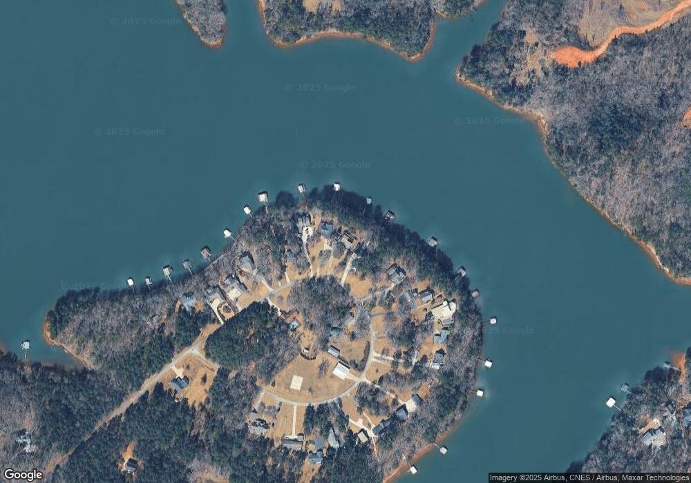
Map
Nearby Homes
- 49 Currahee Point
- 287 Spring Branch Cir
- 604 Mckinney Way
- Lot 34 Stillwater Place
- 455 Chase Landing Rd
- 9B Lost Forest Dr
- 0 Lost Forest Dr
- 223 Brookside Dr
- Lot 9 Block A Brookside Dr
- 1 Brookside Dr
- 333 Oliver Rd
- LOT 7 Springview Dr
- 0 Springview Dr Unit 21515079
- 0 Springview Dr Unit 18549576
- 112 Laura Dr
- 104 Overlook Dr
- 1687 Jenkins Ferry Rd
- 88 Currahee Place
- 120 Ridgemore Cir
- 00 N Shores Dr
- 419 Currahee Point
- 142 Currahee Point
- 0 Currahee Pt Cir E Unit LOT 9 7146027
- 431 Currahee Point
- 371 Currahee Point
- 453 Currahee Point
- 369 Currahee Point
- 364 Currahee Point
- 472 Currahee Point
- 337 Currahee Point
- 317 Currahee Point
- 540 Currahee Point
- 483 Currahee Point
- 604 Currahee Point
- 572 Currahee Point
- 299 Currahee Point
- 487 Currahee Point
- 499 Currahee Point
- 18B Circle E
- 505 Currahee Point
Your Personal Tour Guide
Ask me questions while you tour the home.