411 Jefferson Ave Mc Arthur, OH 45651
Estimated Value: $206,000 - $284,000
3
Beds
2
Baths
1,669
Sq Ft
$141/Sq Ft
Est. Value
About This Home
This home is located at 411 Jefferson Ave, Mc Arthur, OH 45651 and is currently estimated at $235,978, approximately $141 per square foot. 411 Jefferson Ave is a home located in Vinton County with nearby schools including Vinton County High School.
Ownership History
Date
Name
Owned For
Owner Type
Purchase Details
Closed on
Oct 8, 2024
Sold by
Sagraves Lisa A and Sagraves Edward R
Bought by
Davis Harold and Davis Tara
Current Estimated Value
Home Financials for this Owner
Home Financials are based on the most recent Mortgage that was taken out on this home.
Original Mortgage
$179,080
Outstanding Balance
$177,197
Interest Rate
6.35%
Mortgage Type
FHA
Estimated Equity
$58,781
Purchase Details
Closed on
Apr 24, 2013
Sold by
Densworth Llc
Bought by
Saunders Patty Sue
Purchase Details
Closed on
May 21, 2012
Sold by
Lorimer Mary Battrell
Bought by
Densworth Llc
Create a Home Valuation Report for This Property
The Home Valuation Report is an in-depth analysis detailing your home's value as well as a comparison with similar homes in the area
Home Values in the Area
Average Home Value in this Area
Purchase History
| Date | Buyer | Sale Price | Title Company |
|---|---|---|---|
| Davis Harold | -- | Northwest Title | |
| Saunders Patty Sue | $139,500 | None Available | |
| Densworth Llc | $112,750 | None Available |
Source: Public Records
Mortgage History
| Date | Status | Borrower | Loan Amount |
|---|---|---|---|
| Open | Davis Harold | $179,080 |
Source: Public Records
Tax History Compared to Growth
Tax History
| Year | Tax Paid | Tax Assessment Tax Assessment Total Assessment is a certain percentage of the fair market value that is determined by local assessors to be the total taxable value of land and additions on the property. | Land | Improvement |
|---|---|---|---|---|
| 2024 | $1,172 | $54,960 | $12,970 | $41,990 |
| 2023 | $1,655 | $41,820 | $9,010 | $32,810 |
| 2022 | $1,674 | $41,820 | $9,010 | $32,810 |
| 2021 | $1,667 | $41,820 | $9,010 | $32,810 |
| 2020 | $1,319 | $33,160 | $7,880 | $25,280 |
| 2019 | $1,292 | $33,160 | $7,880 | $25,280 |
| 2018 | $1,266 | $33,160 | $7,880 | $25,280 |
| 2017 | $1,124 | $29,820 | $7,140 | $22,680 |
| 2016 | $1,121 | $29,820 | $7,140 | $22,680 |
| 2015 | $1,288 | $34,170 | $7,950 | $26,220 |
| 2014 | $1,288 | $34,170 | $7,950 | $26,220 |
Source: Public Records
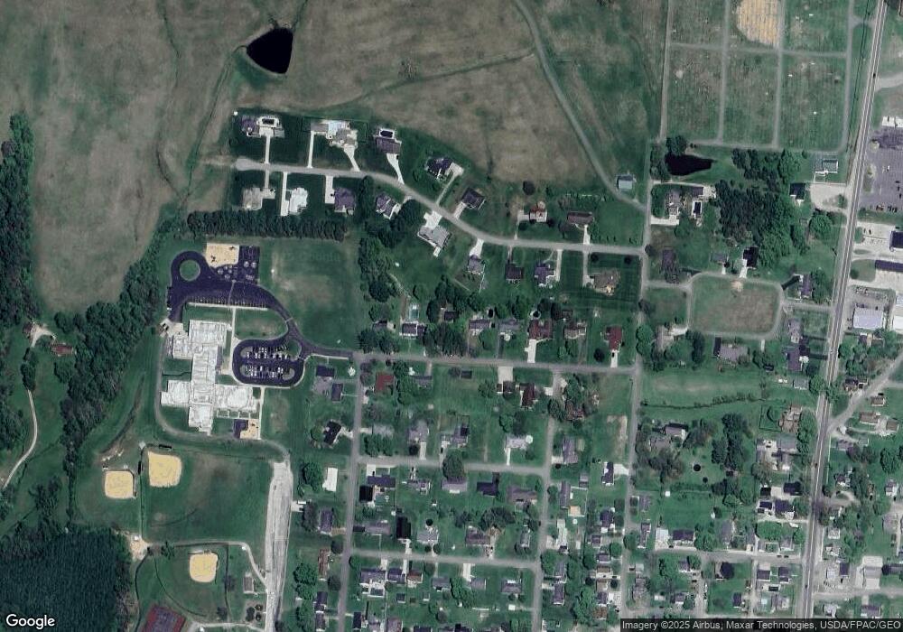
Map
Nearby Homes
- 403 W High St
- 106 E Maple Dr
- 206 N Sugar St
- 206 W Main St
- 0 Highway 50
- 626 Engle Dr
- 32103 State Route 93
- 106 Jane Dr
- 501 North
- 501 E North St
- 106 Maple St
- 33747 Wolf Hill Rd Unit (Wolf Hill House)
- 62722 U S 50
- 62436 Bolar Rd
- 0 Wolf Hill Rd Unit (Tract 7 Wolf Hill)
- 0 Wolf Hill Rd Unit 25468491
- 0 Wolf Hill Rd Unit (Tract 3 Wolf Hill)
- 0 Wolf Hill Rd Unit 25469221
- 0 Wolf Hill Rd Unit (Tract 4 Wolf Hill)
- 0 Wolf Hill Rd Unit (Tract 2 Wolf Hill)
- 415 Jefferson Ave
- 407 Jefferson Ave
- 408 Madison Ave
- 419 Jefferson Ave
- 403 Jefferson Ave
- 403 Jefferson Ave
- 404 Madison Ave
- 416 Jefferson Ave
- 414 Madison Ave
- 420 Jefferson Ave
- 424 Madison Ave
- 401 Jefferson Ave
- 402 Madison Ave
- 415 Madison Ave
- 413 Vinton Ave
- 400 Fair Ave
- 409 Vinton Ave
- 470 Madison Ave
- 401 Madison Ave
- 307 Jefferson Ave