411 Lakayuse Rd Manson, WA 98831
Estimated Value: $1,886,000 - $2,926,376
2
Beds
3
Baths
2,964
Sq Ft
$812/Sq Ft
Est. Value
About This Home
This home is located at 411 Lakayuse Rd, Manson, WA 98831 and is currently estimated at $2,406,188, approximately $811 per square foot. 411 Lakayuse Rd is a home located in Chelan County with nearby schools including Manson Elementary School and Manson High School.
Ownership History
Date
Name
Owned For
Owner Type
Purchase Details
Closed on
Dec 5, 2012
Sold by
Sanctis Edmond P and Sanctis Mary M
Bought by
Mcdonald Grant and Imperatori Cheryl
Current Estimated Value
Home Financials for this Owner
Home Financials are based on the most recent Mortgage that was taken out on this home.
Original Mortgage
$300,000
Outstanding Balance
$55,193
Interest Rate
3.37%
Mortgage Type
New Conventional
Estimated Equity
$2,350,995
Purchase Details
Closed on
Sep 15, 2005
Sold by
Winesap Ridge Llc
Bought by
Sanctis Edmond P and Sanctis Mary M
Create a Home Valuation Report for This Property
The Home Valuation Report is an in-depth analysis detailing your home's value as well as a comparison with similar homes in the area
Home Values in the Area
Average Home Value in this Area
Purchase History
| Date | Buyer | Sale Price | Title Company |
|---|---|---|---|
| Mcdonald Grant | $546,750 | First Amer Title Wenatchee | |
| Sanctis Edmond P | $249,500 | Transnation Title Insurance |
Source: Public Records
Mortgage History
| Date | Status | Borrower | Loan Amount |
|---|---|---|---|
| Open | Mcdonald Grant | $300,000 |
Source: Public Records
Tax History Compared to Growth
Tax History
| Year | Tax Paid | Tax Assessment Tax Assessment Total Assessment is a certain percentage of the fair market value that is determined by local assessors to be the total taxable value of land and additions on the property. | Land | Improvement |
|---|---|---|---|---|
| 2021 | $14,897 | $1,072,277 | $432,900 | $639,377 |
| 2020 | $7,538 | $870,707 | $376,290 | $494,417 |
| 2019 | $5,917 | $786,045 | $406,260 | $379,785 |
| 2018 | $6,229 | $610,395 | $346,320 | $264,075 |
| 2017 | $4,670 | $612,656 | $346,320 | $266,336 |
| 2016 | $2,959 | $497,703 | $269,730 | $227,973 |
| 2015 | $2,959 | $419,137 | $213,120 | $206,017 |
| 2013 | $2,959 | $357,707 | $199,800 | $157,907 |
Source: Public Records
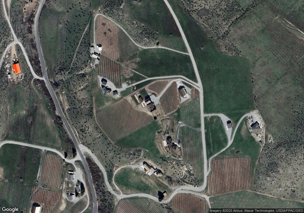
Map
Nearby Homes
- 200 Lakayuse Rd
- 0 NNA Makai Rd
- 29 Nora Ln
- 127 Bella Ln
- 34 Leisure Ln
- 27 Jonagold Ln
- 127 Hurley Ln
- 25 Sailing Hawk Ln
- 47 Sailing Hawk Ln
- 59 Sailing Hawk Ln
- 73 Sailing Hawk Ln
- 145 Sailing Hawk Ln
- 157 - 8 Lots Sailing Hawk Ln
- 58 Sailing Hawk Ln
- 144 Sailing Hawk Ln
- 138 Summer Breeze Rd
- 125 Summer Breeze Rd
- 68 Abe Ln
- 83 Summerset Blvd
- 4 Chelan Ranch Rd
- 449 Lakayuse Rd
- 357 Lakayuse Rd
- 211 Lakayuse Rd
- 0 Lakayuse Rd Unit 1953836
- 360 Lakayuse Rd
- 1359 Winesap Ave
- 0 xxx Winesap Ave
- 65 Corkscrew Ln
- 17 Corkscrew Ln
- 195 Corkscrew Ln
- 0 Corkscrew Ln Unit 1978058
- 800 Lakayuse Rd
- 700 Lakayuse Rd
- 1675 Winesap Ave
- 1675 Winesap Ave
- 1675 Winesap Ave
- 231 Malbec Ln
- 170 Malbec Ln
- 69 Malbec Ln
- 1909 Winesap Ave