Estimated Value: $322,000 - $494,000
3
Beds
2
Baths
2,514
Sq Ft
$166/Sq Ft
Est. Value
About This Home
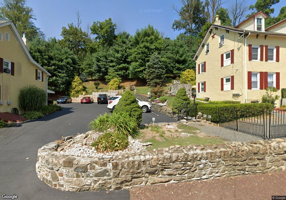
This home is located at 411 Lenni Rd, Media, PA 19063 and is currently estimated at $416,424, approximately $165 per square foot. 411 Lenni Rd is a home with nearby schools including Glenwood Elementary School, Springton Lake Middle School, and Penncrest High School.
Ownership History
Date
Name
Owned For
Owner Type
Purchase Details
Closed on
Feb 15, 2017
Sold by
Stollsteimer William F and Racine Joseph P
Bought by
Stollsteimer William F and Stollsteimer Jean G
Current Estimated Value
Home Financials for this Owner
Home Financials are based on the most recent Mortgage that was taken out on this home.
Original Mortgage
$150,000
Outstanding Balance
$123,915
Interest Rate
4.12%
Mortgage Type
Purchase Money Mortgage
Estimated Equity
$292,509
Purchase Details
Closed on
Nov 22, 1999
Sold by
Mccue Robert T
Bought by
Stollsteimer William F and Racine Joseph P
Home Financials for this Owner
Home Financials are based on the most recent Mortgage that was taken out on this home.
Original Mortgage
$74,000
Interest Rate
7.86%
Mortgage Type
Seller Take Back
Purchase Details
Closed on
Feb 17, 1997
Sold by
Mccue Robert T and Mccue Robert T
Bought by
Mccue Robert T
Purchase Details
Closed on
Feb 20, 1995
Sold by
Mccue Robert T
Bought by
Mccue Robert T and Mccue Robert T
Create a Home Valuation Report for This Property
The Home Valuation Report is an in-depth analysis detailing your home's value as well as a comparison with similar homes in the area
Home Values in the Area
Average Home Value in this Area
Purchase History
| Date | Buyer | Sale Price | Title Company |
|---|---|---|---|
| Stollsteimer William F | $132,000 | None Available | |
| Stollsteimer William F | $75,000 | -- | |
| Mccue Robert T | -- | -- | |
| Mccue Robert T | -- | -- |
Source: Public Records
Mortgage History
| Date | Status | Borrower | Loan Amount |
|---|---|---|---|
| Open | Stollsteimer William F | $150,000 | |
| Previous Owner | Stollsteimer William F | $74,000 |
Source: Public Records
Tax History Compared to Growth
Tax History
| Year | Tax Paid | Tax Assessment Tax Assessment Total Assessment is a certain percentage of the fair market value that is determined by local assessors to be the total taxable value of land and additions on the property. | Land | Improvement |
|---|---|---|---|---|
| 2025 | $4,058 | $209,920 | $78,730 | $131,190 |
| 2024 | $4,058 | $209,920 | $78,730 | $131,190 |
| 2023 | $3,916 | $209,920 | $78,730 | $131,190 |
| 2022 | $3,815 | $209,920 | $78,730 | $131,190 |
| 2021 | $6,496 | $209,920 | $78,730 | $131,190 |
| 2020 | $4,171 | $123,660 | $47,550 | $76,110 |
| 2019 | $4,037 | $123,660 | $47,550 | $76,110 |
| 2018 | $3,981 | $123,660 | $0 | $0 |
| 2017 | $3,892 | $123,660 | $0 | $0 |
| 2016 | $679 | $123,660 | $0 | $0 |
| 2015 | $692 | $123,660 | $0 | $0 |
| 2014 | $692 | $123,660 | $0 | $0 |
Source: Public Records
Map
Nearby Homes
- 234 Elm Ave
- 346 Lenni Rd
- 208 S Pennell Rd
- 305 Crozerville Rd
- 206 Chestnut Ave
- 131 Junction Rd
- 117 Segel Dr
- 3 Rolling Heights Ln
- 237 Harvey Ln
- 220 Spring Valley Way
- 30 Rampart W
- 209 Martins Ln
- 23 Rampart W
- 440 Derry Dr Unit 440
- 268 Miley Rd Unit 268
- 242 Moria Place
- 277 W Baltimore Pike
- 226 Moria Place
- 108 Grace Ln
- 21 Hoag Ln