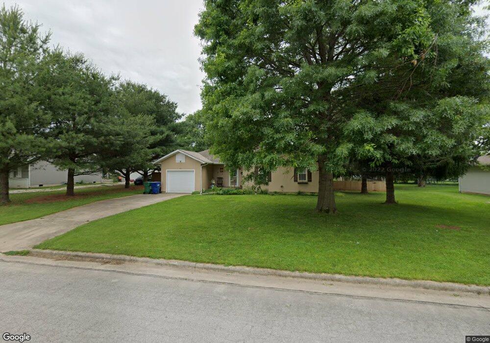
411 Matthew Ln Willard, MO 65781
Estimated Value: $163,000 - $204,000
3
Beds
1
Bath
1,018
Sq Ft
$179/Sq Ft
Est. Value
About This Home
This home is located at 411 Matthew Ln, Willard, MO 65781 and is currently estimated at $182,396, approximately $179 per square foot. 411 Matthew Ln is a home located in Greene County with nearby schools including Willard North Elementary School and Willard Intermediate School North.
Ownership History
Date
Name
Owned For
Owner Type
Purchase Details
Closed on
Dec 13, 2017
Sold by
Boger Cheryl L
Bought by
Boger Cheryl L and Boger Family Trust
Current Estimated Value
Home Financials for this Owner
Home Financials are based on the most recent Mortgage that was taken out on this home.
Original Mortgage
$91,200
Outstanding Balance
$76,782
Interest Rate
3.94%
Mortgage Type
New Conventional
Estimated Equity
$105,614
Purchase Details
Closed on
Aug 31, 2015
Sold by
Kemp Shawn P
Bought by
Rodriguez Ladonna C
Home Financials for this Owner
Home Financials are based on the most recent Mortgage that was taken out on this home.
Original Mortgage
$63,000
Interest Rate
4.03%
Mortgage Type
Future Advance Clause Open End Mortgage
Create a Home Valuation Report for This Property
The Home Valuation Report is an in-depth analysis detailing your home's value as well as a comparison with similar homes in the area
Home Values in the Area
Average Home Value in this Area
Purchase History
| Date | Buyer | Sale Price | Title Company |
|---|---|---|---|
| Boger Cheryl L | -- | None Available | |
| Boger Cheryl L | -- | None Available | |
| Rodriguez Ladonna C | $53,000 | None Available |
Source: Public Records
Mortgage History
| Date | Status | Borrower | Loan Amount |
|---|---|---|---|
| Open | Boger Cheryl L | $91,200 | |
| Previous Owner | Rodriguez Ladonna C | $63,000 |
Source: Public Records
Tax History
| Year | Tax Paid | Tax Assessment Tax Assessment Total Assessment is a certain percentage of the fair market value that is determined by local assessors to be the total taxable value of land and additions on the property. | Land | Improvement |
|---|---|---|---|---|
| 2025 | $1,198 | $19,870 | $6,650 | $13,220 |
| 2024 | $1,064 | $17,180 | $4,750 | $12,430 |
| 2023 | $1,061 | $17,180 | $4,750 | $12,430 |
| 2022 | $948 | $15,600 | $4,750 | $10,850 |
| 2021 | $946 | $15,600 | $4,750 | $10,850 |
| 2020 | $945 | $15,300 | $4,750 | $10,550 |
| 2019 | $940 | $15,300 | $4,750 | $10,550 |
| 2018 | $864 | $13,850 | $4,750 | $9,100 |
| 2017 | $857 | $13,130 | $4,750 | $8,380 |
| 2016 | $811 | $13,130 | $4,750 | $8,380 |
| 2015 | $999 | $13,130 | $4,750 | $8,380 |
| 2014 | $776 | $12,540 | $4,750 | $7,790 |
Source: Public Records
Map
Nearby Homes
- 716 Daniel Ln
- 466 Baird Ct
- 413 Cedar Ln
- 464 Baird Ct
- 462 Baird Ct
- 461 Baird Ct
- 460 Baird Ct
- 771 S Bent Tree Ave
- 490 Lennox St
- 000 Mark St
- 479 S Summit Dr
- 779 S Bent Tree Ave
- 506 S Gauge St
- 708 S Main St
- 408 Pine St
- 823 Hoffman Hills Blvd
- 471 Stone Creek Rd
- 473 Stone Creek Rd
- 305 Hughes Rd
- 475 Stone Creek Rd
Your Personal Tour Guide
Ask me questions while you tour the home.