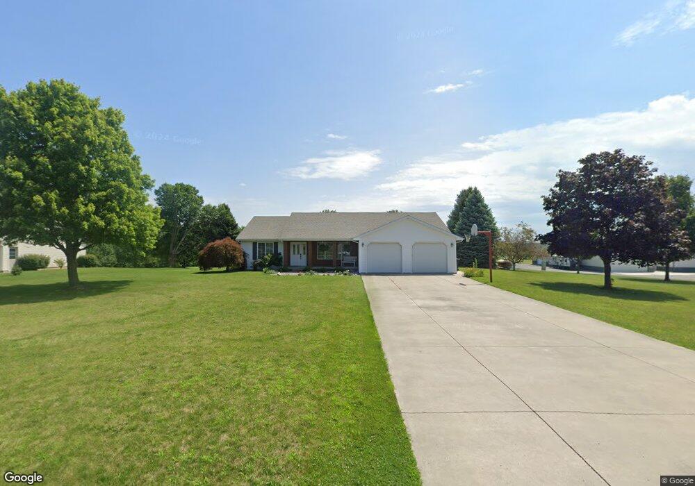
411 S Liberty St West Unity, OH 43570
Estimated Value: $196,000 - $232,764
3
Beds
2
Baths
1,636
Sq Ft
$128/Sq Ft
Est. Value
About This Home
This home is located at 411 S Liberty St, West Unity, OH 43570 and is currently estimated at $209,691, approximately $128 per square foot. 411 S Liberty St is a home located in Williams County with nearby schools including Hilltop Elementary School and Hilltop High School.
Ownership History
Date
Name
Owned For
Owner Type
Purchase Details
Closed on
Apr 12, 2017
Sold by
Scherer Timothy Walter and Scherer Sheila Ann
Bought by
Jones Heather A and Jones Keith
Current Estimated Value
Home Financials for this Owner
Home Financials are based on the most recent Mortgage that was taken out on this home.
Original Mortgage
$132,000
Outstanding Balance
$109,844
Interest Rate
4.21%
Mortgage Type
Purchase Money Mortgage
Estimated Equity
$99,847
Purchase Details
Closed on
Jan 1, 1990
Bought by
Scherer Timothy W and Scherer Sheila Ann
Create a Home Valuation Report for This Property
The Home Valuation Report is an in-depth analysis detailing your home's value as well as a comparison with similar homes in the area
Home Values in the Area
Average Home Value in this Area
Purchase History
| Date | Buyer | Sale Price | Title Company |
|---|---|---|---|
| Jones Heather A | $132,000 | None Available | |
| Scherer Timothy W | -- | -- |
Source: Public Records
Mortgage History
| Date | Status | Borrower | Loan Amount |
|---|---|---|---|
| Open | Jones Heather A | $132,000 |
Source: Public Records
Tax History Compared to Growth
Tax History
| Year | Tax Paid | Tax Assessment Tax Assessment Total Assessment is a certain percentage of the fair market value that is determined by local assessors to be the total taxable value of land and additions on the property. | Land | Improvement |
|---|---|---|---|---|
| 2024 | $2,729 | $68,290 | $6,650 | $61,640 |
| 2023 | $2,729 | $55,480 | $6,580 | $48,900 |
| 2022 | $2,636 | $55,480 | $6,580 | $48,900 |
| 2021 | $2,636 | $55,480 | $6,580 | $48,900 |
| 2020 | $2,334 | $47,430 | $5,640 | $41,790 |
| 2019 | $2,298 | $47,430 | $5,640 | $41,790 |
| 2018 | $2,138 | $47,430 | $5,640 | $41,790 |
| 2017 | $2,044 | $41,830 | $5,180 | $36,650 |
| 2016 | $1,953 | $41,830 | $5,180 | $36,650 |
| 2015 | $2,229 | $41,830 | $5,180 | $36,650 |
| 2014 | $2,229 | $44,030 | $5,460 | $38,570 |
| 2013 | $2,199 | $44,030 | $5,460 | $38,570 |
Source: Public Records
Map
Nearby Homes
- 340 S Main St
- 000 W Jackson
- 205 Taylor Dr
- 311 W Rings St
- 22227 Us Highway 20a
- 16806 US Highway 20a
- 18 Cobblestone Rd
- 15664 County Road K
- 305 W Mulberry St
- 301 Horton St
- 3063 County Road 26-2
- 16228 County Road N-30
- 22018 County Road F
- 0 County Road F
- 5065 County Road 20-50
- 0 U S 20
- 24218 State Route 2
- 7170 County Road 23
- 10628 Ohio 15
- 0 St Rt 15 Unit 10001011
- 409 S Liberty St
- 113 Emerson Dr
- 112 Emerson Dr
- 412 S Liberty St
- 111 Emerson Dr
- 413 S Liberty St
- 110 Emerson Dr
- 109 Emerson Dr
- 415 S Liberty St
- 414 S Liberty St
- 106 Emerson Dr
- 11245 County Road 2040
- 113 Leigh Rd
- 104 Emerson Dr
- 103 Emerson Dr
- 111 Leigh Rd
- 11122 County Road 2040
- 102 Emerson Dr
- 101 Emerson Dr
- 105 Leigh Rd