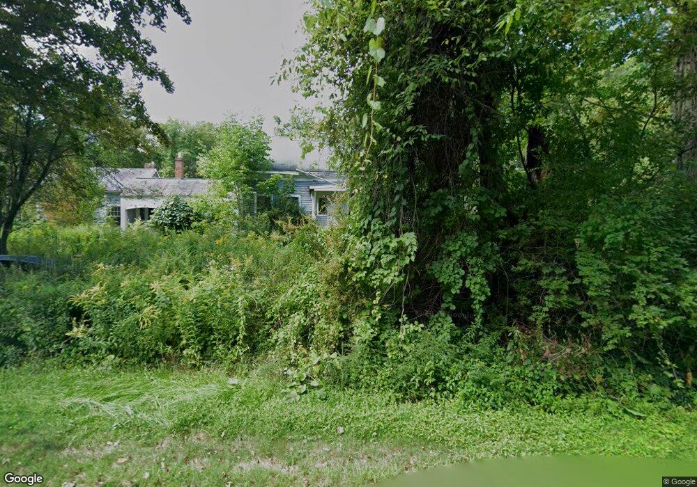
411 S Shirkshire Rd Conway, MA 01341
Estimated Value: $208,000 - $481,000
3
Beds
2
Baths
2,086
Sq Ft
$175/Sq Ft
Est. Value
About This Home
This home is located at 411 S Shirkshire Rd, Conway, MA 01341 and is currently estimated at $364,438, approximately $174 per square foot. 411 S Shirkshire Rd is a home located in Franklin County with nearby schools including Frontier Regional School.
Ownership History
Date
Name
Owned For
Owner Type
Purchase Details
Closed on
Jun 11, 2018
Sold by
Wells Fargo Bank Na Tr
Bought by
Lynch Patrick and Lynch Priscilla
Current Estimated Value
Purchase Details
Closed on
Jun 15, 2017
Sold by
Pauig Martha
Bought by
Wells Fargo Bank Na Tr
Purchase Details
Closed on
Apr 14, 2014
Sold by
Martha B Pauig Lt and Pauig Martha B
Bought by
Pauig Martha B
Purchase Details
Closed on
Oct 4, 2007
Sold by
Pauig Martha B
Bought by
Martha B Pauig Lt and Pauig Martha B
Create a Home Valuation Report for This Property
The Home Valuation Report is an in-depth analysis detailing your home's value as well as a comparison with similar homes in the area
Home Values in the Area
Average Home Value in this Area
Purchase History
| Date | Buyer | Sale Price | Title Company |
|---|---|---|---|
| Lynch Patrick | $134,000 | -- | |
| Wells Fargo Bank Na Tr | $177,850 | -- | |
| Pauig Martha B | -- | -- | |
| Martha B Pauig Lt | -- | -- |
Source: Public Records
Tax History Compared to Growth
Tax History
| Year | Tax Paid | Tax Assessment Tax Assessment Total Assessment is a certain percentage of the fair market value that is determined by local assessors to be the total taxable value of land and additions on the property. | Land | Improvement |
|---|---|---|---|---|
| 2025 | $3,834 | $265,500 | $85,900 | $179,600 |
| 2024 | $3,529 | $215,200 | $78,000 | $137,200 |
| 2023 | $3,691 | $215,200 | $78,000 | $137,200 |
| 2022 | $3,586 | $199,800 | $72,800 | $127,000 |
| 2021 | $3,534 | $188,700 | $69,300 | $119,400 |
| 2020 | $3,617 | $192,800 | $69,100 | $123,700 |
| 2019 | $677 | $218,800 | $69,100 | $149,700 |
| 2018 | $4,706 | $254,400 | $69,100 | $185,300 |
| 2017 | $761 | $383,000 | $190,800 | $192,200 |
| 2016 | $4,032 | $241,700 | $56,400 | $185,300 |
| 2015 | $3,908 | $241,700 | $56,400 | $185,300 |
Source: Public Records
Map
Nearby Homes
- 85 Dacey Rd
- lot 1 Shelburne Falls Rd
- 240 Beldingville Rd
- 102 Elm St
- 14 River St
- 0 Pleasant St
- 473 N Poland Rd
- 10 Deerfield Ave Unit 5
- 10 Deerfield Ave Unit 2
- 105 - 107 Bridge St
- 33 Williams St
- 0 Ashfield Rd
- 7 Hog Hollow Rd
- 156 Ashfield Rd
- 0 Upper St
- 71 Mathews Rd
- 220 Hawley Rd
- 2151 Route 2
- 2155 Massachusetts 2
- 163 S Shelburne Rd
- 53 Jones Corner Rd
- 434 S Shirkshire Rd
- 377 S Shirkshire Rd
- 351 S Shirkshire Rd
- 370 S Shirkshire Rd
- 99 Jones Corner Rd
- 14 Jones Corner Rd
- 348 S Shirkshire Rd
- 66 Jones Corner Rd
- 259 Thompson Rd
- 292 Thompson Rd
- 324 S Shirkshire Rd
- 527 S Shirkshire Rd
- 501 S Shirkshire Rd
- 0 Jones Corner Rd Unit 70068160
- 0 Jones Corner Rd Unit 70062906
- 0 Jones Corner Rd Unit 70040996
- 0 Jones Corner Rd Unit 70041011
- 0 Jones Corner Rd Unit 30761657
- 110 Jones Corner Rd