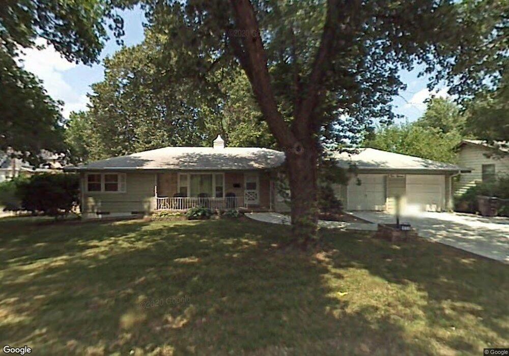
411 Thornton Ave Des Moines, IA 50315
Watrous Heights NeighborhoodEstimated Value: $226,000 - $244,000
3
Beds
2
Baths
1,300
Sq Ft
$183/Sq Ft
Est. Value
About This Home
This home is located at 411 Thornton Ave, Des Moines, IA 50315 and is currently estimated at $237,963, approximately $183 per square foot. 411 Thornton Ave is a home located in Polk County with nearby schools including Park Avenue Elementary School, Brody Middle School, and Lincoln High School.
Ownership History
Date
Name
Owned For
Owner Type
Purchase Details
Closed on
Apr 1, 2003
Sold by
King Todd M and King Jill J
Bought by
Deheck James E and Deheck Barbara K
Current Estimated Value
Home Financials for this Owner
Home Financials are based on the most recent Mortgage that was taken out on this home.
Original Mortgage
$96,000
Outstanding Balance
$41,451
Interest Rate
5.94%
Estimated Equity
$196,512
Purchase Details
Closed on
Sep 13, 1999
Sold by
Calvert Roy and Calvert Roy E
Bought by
King Jill J and King Todd M
Home Financials for this Owner
Home Financials are based on the most recent Mortgage that was taken out on this home.
Original Mortgage
$90,250
Interest Rate
8.87%
Create a Home Valuation Report for This Property
The Home Valuation Report is an in-depth analysis detailing your home's value as well as a comparison with similar homes in the area
Home Values in the Area
Average Home Value in this Area
Purchase History
| Date | Buyer | Sale Price | Title Company |
|---|---|---|---|
| Deheck James E | $119,500 | -- | |
| King Jill J | $94,500 | -- |
Source: Public Records
Mortgage History
| Date | Status | Borrower | Loan Amount |
|---|---|---|---|
| Open | Deheck James E | $96,000 | |
| Previous Owner | King Jill J | $90,250 |
Source: Public Records
Tax History
| Year | Tax Paid | Tax Assessment Tax Assessment Total Assessment is a certain percentage of the fair market value that is determined by local assessors to be the total taxable value of land and additions on the property. | Land | Improvement |
|---|---|---|---|---|
| 2025 | $4,288 | $252,600 | $41,800 | $210,800 |
| 2024 | $4,288 | $228,400 | $37,200 | $191,200 |
| 2023 | $4,282 | $228,400 | $37,200 | $191,200 |
| 2022 | $4,248 | $190,600 | $32,200 | $158,400 |
| 2021 | $4,040 | $190,600 | $32,200 | $158,400 |
| 2020 | $4,192 | $170,500 | $28,700 | $141,800 |
| 2019 | $3,780 | $170,500 | $28,700 | $141,800 |
| 2018 | $3,738 | $149,200 | $24,600 | $124,600 |
| 2017 | $3,542 | $149,200 | $24,600 | $124,600 |
| 2016 | $3,446 | $139,500 | $22,500 | $117,000 |
| 2015 | $3,446 | $139,500 | $22,500 | $117,000 |
| 2014 | $3,544 | $142,100 | $22,500 | $119,600 |
Source: Public Records
Map
Nearby Homes
- 3634 SW 4th St
- 3424 SW 8th St
- 3420 SW 8th St
- 3215 SW 7th St
- 3712 SW 8th St
- 3605 SW 9th St
- 112 Rose Ave
- 3822 SW 2nd St
- 3516 SW 9th St
- 504 Watrous Ave
- 3903 SW 9th St
- 3901 S Union St
- 112 Parmer Dr
- 709 Marion St
- 937 Caulder Ave
- 720 Pleasant View Dr
- 919 Watrous Ave
- 119 E Park Ave
- 206 E Hughes Cir
- 303 Virginia Ave
- 331 Thornton Ave
- 3511 SW 5th St
- 325 Thornton Ave
- 501 Thornton Ave
- 3516 SW 5th St
- 404 Thornton Ave
- 318 Miller Ave
- 3510 SW 5th St
- 3435 SW 5th St
- 322 Miller Ave
- 323 Thornton Ave
- 316 Thornton Ave
- 500 Miller Ave
- 509 Thornton Ave
- 314 Miller Ave
- 500 Thornton Ave
- 3610 SW 4th St
- 312 Thornton Ave
- 307 Thornton Ave
- 522 Miller Ave
Your Personal Tour Guide
Ask me questions while you tour the home.