Estimated Value: $488,311 - $546,000
3
Beds
3
Baths
3,647
Sq Ft
$142/Sq Ft
Est. Value
About This Home
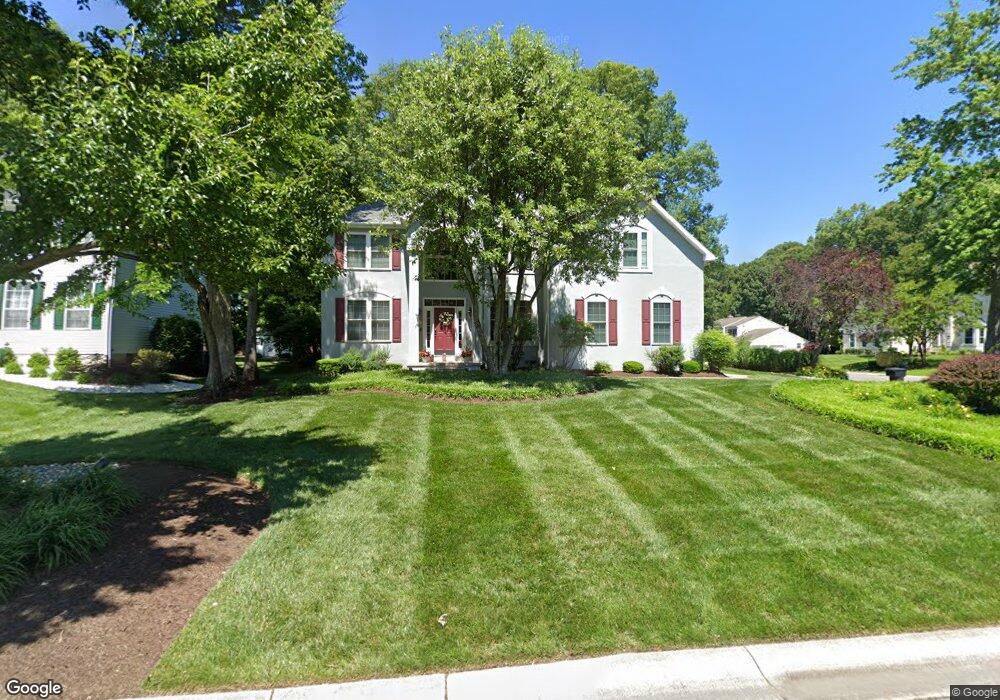
This home is located at 411 W Carnoustie Rd, Dover, DE 19904 and is currently estimated at $518,328, approximately $142 per square foot. 411 W Carnoustie Rd is a home located in Kent County with nearby schools including Booker T. Washington Elementary School, William Henry Middle School, and Central Middle School.
Ownership History
Date
Name
Owned For
Owner Type
Purchase Details
Closed on
Aug 15, 2023
Sold by
Mckinley Brian E
Bought by
Brian E Mckinley Revocable Trust and Mckinley
Current Estimated Value
Purchase Details
Closed on
Jun 2, 2008
Sold by
Mckinley Brian E and Mckinley Shannon L
Bought by
Mckinley Brian E
Purchase Details
Closed on
Dec 30, 2005
Sold by
Mckinley Brian E
Bought by
Mckinley Brian E and Mckinley Shannon L
Create a Home Valuation Report for This Property
The Home Valuation Report is an in-depth analysis detailing your home's value as well as a comparison with similar homes in the area
Home Values in the Area
Average Home Value in this Area
Purchase History
| Date | Buyer | Sale Price | Title Company |
|---|---|---|---|
| Brian E Mckinley Revocable Trust | -- | None Listed On Document | |
| Mckinley Brian E | -- | None Available | |
| Mckinley Brian E | -- | None Available |
Source: Public Records
Tax History
| Year | Tax Paid | Tax Assessment Tax Assessment Total Assessment is a certain percentage of the fair market value that is determined by local assessors to be the total taxable value of land and additions on the property. | Land | Improvement |
|---|---|---|---|---|
| 2025 | $2,767 | $469,900 | $118,900 | $351,000 |
| 2024 | $2,672 | $469,900 | $118,900 | $351,000 |
| 2023 | $2,545 | $86,300 | $15,400 | $70,900 |
| 2022 | $2,461 | $86,300 | $15,400 | $70,900 |
| 2021 | $2,371 | $86,300 | $15,400 | $70,900 |
| 2020 | $2,290 | $86,300 | $15,400 | $70,900 |
| 2019 | $2,165 | $86,300 | $15,400 | $70,900 |
| 2018 | $1,977 | $86,300 | $15,400 | $70,900 |
| 2017 | $1,977 | $87,800 | $0 | $0 |
| 2016 | $1,985 | $87,800 | $0 | $0 |
| 2015 | $1,983 | $87,800 | $0 | $0 |
| 2014 | $1,988 | $87,800 | $0 | $0 |
Source: Public Records
Map
Nearby Homes
- 108 Burning Tree Rd
- 116 Shinnecock Rd
- 7 Shinnecock Rd
- 26 Winged Foot Ct
- 42 Scioto Ct
- 164 Burning Tree Rd
- 138 Sweetgum Dr
- 115 Carnoustie Rd
- 11 S Turnberry Dr
- 27 N Turnberry Dr
- 74 Par Haven Dr
- 35 N Turnberry Dr
- 4 Harlech Hall
- 2 Ivy Hall
- 4 Dover Hall
- 39 Par Haven Dr Unit E23
- 235 Carnoustie Rd
- 1358 College Rd
- 17 Valhalla Ct
- 311 Stonebrook Place
- 413 W Carnoustie Rd
- 106 Hazeltine Rd
- 101 Hazeltine Rd
- 105 Hazeltine Rd
- 415 W Carnoustie Rd
- 412 W Carnoustie Rd
- 410 W Carnoustie Rd
- 110 Hazeltine Rd
- 109 Hazeltine Rd
- 414 W Carnoustie Rd
- 408 W Carnoustie Rd
- 111 Burning Tree Rd
- 103 Burning Tree Rd
- 416 W Carnoustie Rd
- 117 Burning Tree Rd
- 113 Hazeltine Rd
- 406 W Carnoustie Rd
- 100 Shinnecock Rd
- 116 Hazeltine Rd
- 104 Shinnecock Rd
Your Personal Tour Guide
Ask me questions while you tour the home.