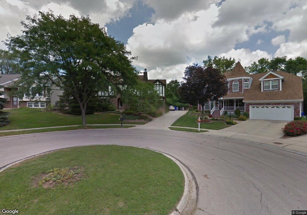
411 W Thomas Rd Wheaton, IL 60187
Northside-Wheaton NeighborhoodEstimated Value: $552,017 - $702,000
4
Beds
3
Baths
2,742
Sq Ft
$237/Sq Ft
Est. Value
About This Home
This home is located at 411 W Thomas Rd, Wheaton, IL 60187 and is currently estimated at $648,504, approximately $236 per square foot. 411 W Thomas Rd is a home located in DuPage County with nearby schools including Washington Elementary School, Franklin Middle School, and Wheaton North High School.
Ownership History
Date
Name
Owned For
Owner Type
Purchase Details
Closed on
Jun 9, 2023
Sold by
Patrick M Farrey M and Patrick Gloria J
Bought by
Nelson Annika J
Current Estimated Value
Home Financials for this Owner
Home Financials are based on the most recent Mortgage that was taken out on this home.
Original Mortgage
$280,000
Outstanding Balance
$272,458
Interest Rate
6.35%
Mortgage Type
New Conventional
Estimated Equity
$376,046
Purchase Details
Closed on
Mar 15, 2006
Sold by
Farrey Patrick M and Farrey Gloria J
Bought by
Farrey Patrick M and Farrey Gloria J
Create a Home Valuation Report for This Property
The Home Valuation Report is an in-depth analysis detailing your home's value as well as a comparison with similar homes in the area
Home Values in the Area
Average Home Value in this Area
Purchase History
| Date | Buyer | Sale Price | Title Company |
|---|---|---|---|
| Nelson Annika J | $350,000 | Chicago Title | |
| Farrey Patrick M | -- | None Available |
Source: Public Records
Mortgage History
| Date | Status | Borrower | Loan Amount |
|---|---|---|---|
| Open | Nelson Annika J | $280,000 |
Source: Public Records
Tax History Compared to Growth
Tax History
| Year | Tax Paid | Tax Assessment Tax Assessment Total Assessment is a certain percentage of the fair market value that is determined by local assessors to be the total taxable value of land and additions on the property. | Land | Improvement |
|---|---|---|---|---|
| 2024 | $11,168 | $181,276 | $27,779 | $153,497 |
| 2023 | $10,195 | $166,860 | $25,570 | $141,290 |
| 2022 | $10,160 | $157,700 | $24,170 | $133,530 |
| 2021 | $10,118 | $153,960 | $23,600 | $130,360 |
| 2020 | $10,084 | $152,530 | $23,380 | $129,150 |
| 2019 | $9,844 | $148,500 | $22,760 | $125,740 |
| 2018 | $9,056 | $136,030 | $21,450 | $114,580 |
| 2017 | $8,907 | $131,010 | $20,660 | $110,350 |
| 2016 | $8,772 | $125,770 | $19,830 | $105,940 |
| 2015 | $8,687 | $119,990 | $18,920 | $101,070 |
| 2014 | $9,227 | $124,800 | $17,560 | $107,240 |
| 2013 | $8,991 | $125,170 | $17,610 | $107,560 |
Source: Public Records
Map
Nearby Homes
- 0 Ellis Ave
- 114 W Prairie Ave
- 0N510 Gary Ave
- 1115 N Main St
- 1902 N Washington St
- 0N649 Knollwood Dr
- 628 Belmont Ln
- 631 Belmont Ln
- 921 & 933 N College Ave
- 0N105 Lot 1 Nepil Ave
- 0N105 Lot 2 Nepil Ave
- 25W275 Doris Ave
- 25W277 Doris Ave
- 808 Bridle Ln
- 25W361 Doris Ave
- 312 E Lincoln Ave
- 26W028 Prairie Ave
- 0N042 Nepil Ave
- 127 N West St
- 123 N West St
- 407 W Thomas Rd
- 414 W Cole Ave
- 419 W Thomas Rd
- 403 W Thomas Rd
- 408 W Cole Ave
- 416 W Cole Ave
- 423 W Thomas Rd
- 402 W Cole Ave
- 420 W Cole Ave
- 1760 Darling St
- 0N531 Papworth St
- 428 W Cole Ave
- 314 W Cole Ave
- 1902 Jessica Ct
- 432 W Cole Ave
- 0N505 Papworth St
- 1903 Emily Ct
- 0N472 Darling St
- 1901 Jessica Ct
- 1910 Jessica Ct