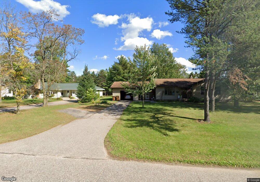
411 Wilshire Blvd N Stevens Point, WI 54481
Estimated Value: $268,000 - $316,437
4
Beds
2
Baths
1,781
Sq Ft
$164/Sq Ft
Est. Value
About This Home
This home is located at 411 Wilshire Blvd N, Stevens Point, WI 54481 and is currently estimated at $291,859, approximately $163 per square foot. 411 Wilshire Blvd N is a home located in Portage County with nearby schools including Washington Elementary School, P.J. Jacobs Junior High School, and Stevens Point Area Senior High School.
Ownership History
Date
Name
Owned For
Owner Type
Purchase Details
Closed on
Mar 18, 2021
Sold by
Oneil Patrick R
Bought by
Olson Andrew D
Current Estimated Value
Home Financials for this Owner
Home Financials are based on the most recent Mortgage that was taken out on this home.
Original Mortgage
$223,003
Outstanding Balance
$199,906
Interest Rate
2.7%
Mortgage Type
New Conventional
Estimated Equity
$91,953
Create a Home Valuation Report for This Property
The Home Valuation Report is an in-depth analysis detailing your home's value as well as a comparison with similar homes in the area
Home Values in the Area
Average Home Value in this Area
Purchase History
| Date | Buyer | Sale Price | Title Company |
|---|---|---|---|
| Olson Andrew D | $229,900 | New Title Company Name |
Source: Public Records
Mortgage History
| Date | Status | Borrower | Loan Amount |
|---|---|---|---|
| Open | Olson Andrew D | $223,003 |
Source: Public Records
Tax History Compared to Growth
Tax History
| Year | Tax Paid | Tax Assessment Tax Assessment Total Assessment is a certain percentage of the fair market value that is determined by local assessors to be the total taxable value of land and additions on the property. | Land | Improvement |
|---|---|---|---|---|
| 2024 | $49 | $267,200 | $40,400 | $226,800 |
| 2023 | $0 | $267,200 | $40,400 | $226,800 |
| 2022 | $4,146 | $169,600 | $29,000 | $140,600 |
| 2021 | $4,010 | $169,600 | $29,000 | $140,600 |
| 2020 | $3,568 | $143,000 | $29,000 | $114,000 |
| 2019 | $3,568 | $143,000 | $29,000 | $114,000 |
| 2018 | $3,374 | $143,000 | $29,000 | $114,000 |
| 2017 | $3,252 | $143,000 | $29,000 | $114,000 |
| 2016 | $2,633 | $105,900 | $24,500 | $81,400 |
| 2015 | $2,668 | $105,900 | $24,500 | $81,400 |
| 2014 | $2,612 | $105,900 | $24,500 | $81,400 |
Source: Public Records
Map
Nearby Homes
- 3528 4th Ave
- Lot 1 Highway 10 NW
- Lot 2 Highway 10 NW
- 223 Green Ave N
- Lt0 Wisconsin 66
- 4201 Janick Cir N
- 3663 Robert St
- 509 Clayton Ave
- 0 N Point Dr
- 3013 College Ave
- 1224 Frontenac Ave
- Lot 2 N Point Dr
- Lot 1 N Point Dr
- 909 Illinois Ave
- 309 Division St N
- 40 Hillcrest Dr
- 4701 Beaver Dam Rd
- 2043 Ellis St
- 1724 Main St
- 1700 Fremont St
- 419 Wilshire Blvd N
- 401 Wilshire Blvd N
- 402 Wilshire Blvd N
- 347 Wilshire Blvd N
- 418 Wilshire Blvd N
- 431 Wilshire Blvd N
- 340 Wilshire Blvd N
- 337 Wilshire Blvd N
- 403 Wood Ln
- 439 Wilshire Blvd N
- 405 Wood Ln
- 345 Wood Ln
- 337 Wood Ln
- 447 Wilshire Blvd N
- 327 Wilshire Blvd N
- 3703 Northpoint Dr
- 3715 N Point Dr
- 3721 Northpoint Dr
- 3709 N Point Dr
- 333 Wood Ln