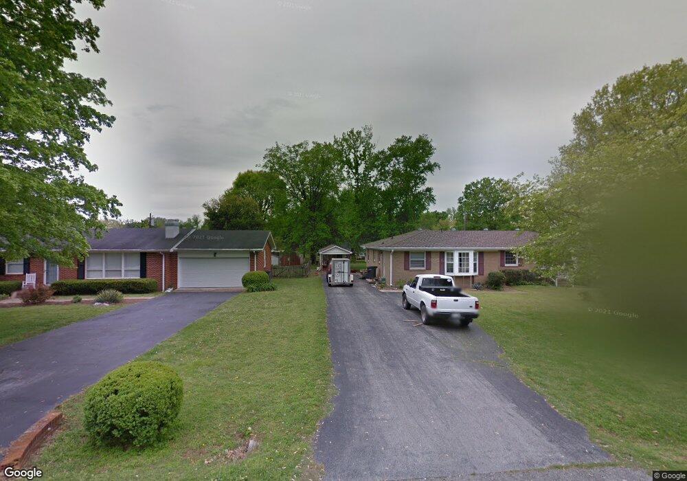
411 Woods Dr Unit 413 Columbia, TN 38401
Estimated Value: $347,114
--
Bed
2
Baths
1,944
Sq Ft
$179/Sq Ft
Est. Value
About This Home
This home is located at 411 Woods Dr Unit 413, Columbia, TN 38401 and is currently priced at $347,114, approximately $178 per square foot. 411 Woods Dr Unit 413 is a home located in Maury County with nearby schools including J.R. Baker Elementary School, Whitthorne Middle School, and Columbia Central High School.
Ownership History
Date
Name
Owned For
Owner Type
Purchase Details
Closed on
Jun 24, 2019
Sold by
Church Derek D and Church Robin V
Bought by
Wolflin Benjamin Alejandro and Wolflin Jennifer A
Current Estimated Value
Home Financials for this Owner
Home Financials are based on the most recent Mortgage that was taken out on this home.
Original Mortgage
$140,250
Outstanding Balance
$123,314
Interest Rate
4.1%
Mortgage Type
New Conventional
Purchase Details
Closed on
Aug 28, 2003
Sold by
Bryant James A and Bryant Kathryn J
Bought by
Church Derek D and Church Robin
Purchase Details
Closed on
Mar 4, 1996
Sold by
Bryant James A
Bought by
Bryant Kathryn J
Purchase Details
Closed on
Dec 14, 1995
Bought by
Bryant James A
Purchase Details
Closed on
Jun 15, 1993
Bought by
Harper Virginia S
Purchase Details
Closed on
Feb 15, 1985
Bought by
Harper Virginia S
Create a Home Valuation Report for This Property
The Home Valuation Report is an in-depth analysis detailing your home's value as well as a comparison with similar homes in the area
Home Values in the Area
Average Home Value in this Area
Purchase History
| Date | Buyer | Sale Price | Title Company |
|---|---|---|---|
| Wolflin Benjamin Alejandro | $165,000 | Maury Co Title | |
| Church Derek D | $98,200 | -- | |
| Bryant Kathryn J | -- | -- | |
| Bryant James A | $92,000 | -- | |
| Harper Virginia S | $78,000 | -- | |
| Harper Virginia S | -- | -- |
Source: Public Records
Mortgage History
| Date | Status | Borrower | Loan Amount |
|---|---|---|---|
| Open | Wolflin Benjamin Alejandro | $140,250 | |
| Previous Owner | Harper Virginia S | $95,400 |
Source: Public Records
Tax History Compared to Growth
Tax History
| Year | Tax Paid | Tax Assessment Tax Assessment Total Assessment is a certain percentage of the fair market value that is determined by local assessors to be the total taxable value of land and additions on the property. | Land | Improvement |
|---|---|---|---|---|
| 2022 | $1,615 | $59,075 | $9,500 | $49,575 |
Source: Public Records
Map
Nearby Homes
- 122 Overlook Place
- 209 Woods Dr
- 0 N Stone Dr
- 205 Experiment Station Ln
- 526 Woods Dr
- 231 Overlook Place
- 1656 Manuka Ln
- 1651 Manuka Ln
- 2601 Trotwood Ave
- 1249 Hampshire Pike
- 1243 Oxford Village Cove
- 400 Westover Dr
- 900 Camellia Dr
- 0 Jenland Dr
- 109 Blythewood Dr
- 2043 Union Place
- 0 Lion Pkwy Unit RTC2927607
- 2214 Union Place Ct
- 2719 Gray Cir
- 2910 Brookside Dr