4110 Alva Ln Unit 227 Nolensville, TN 37135
Estimated Value: $492,000 - $507,000
3
Beds
2
Baths
1,540
Sq Ft
$323/Sq Ft
Est. Value
About This Home
This home is located at 4110 Alva Ln Unit 227, Nolensville, TN 37135 and is currently estimated at $498,175, approximately $323 per square foot. 4110 Alva Ln Unit 227 is a home located in Davidson County with nearby schools including Henry Maxwell Elementary School, Thurgood Marshall Middle School, and Cane Ridge High School.
Ownership History
Date
Name
Owned For
Owner Type
Purchase Details
Closed on
Apr 30, 2025
Sold by
Hopkins Debra Leigh and Hopkins James Michael
Bought by
Bass Michele L
Current Estimated Value
Purchase Details
Closed on
Feb 28, 2017
Sold by
Regent Homes Llc
Bought by
Hopkins Debra Leigh and Hopkins James Michael
Home Financials for this Owner
Home Financials are based on the most recent Mortgage that was taken out on this home.
Original Mortgage
$141,535
Interest Rate
4.09%
Mortgage Type
New Conventional
Create a Home Valuation Report for This Property
The Home Valuation Report is an in-depth analysis detailing your home's value as well as a comparison with similar homes in the area
Home Values in the Area
Average Home Value in this Area
Purchase History
| Date | Buyer | Sale Price | Title Company |
|---|---|---|---|
| Bass Michele L | $500,000 | Lawyers Land & Title Services | |
| Hopkins Debra Leigh | $289,535 | None Available |
Source: Public Records
Mortgage History
| Date | Status | Borrower | Loan Amount |
|---|---|---|---|
| Previous Owner | Hopkins Debra Leigh | $141,535 |
Source: Public Records
Tax History Compared to Growth
Tax History
| Year | Tax Paid | Tax Assessment Tax Assessment Total Assessment is a certain percentage of the fair market value that is determined by local assessors to be the total taxable value of land and additions on the property. | Land | Improvement |
|---|---|---|---|---|
| 2024 | $2,381 | $81,500 | $17,750 | $63,750 |
| 2023 | $2,381 | $81,500 | $17,750 | $63,750 |
| 2022 | $3,087 | $81,500 | $17,750 | $63,750 |
| 2021 | $2,407 | $81,500 | $17,750 | $63,750 |
| 2020 | $2,429 | $64,125 | $17,500 | $46,625 |
| 2019 | $1,767 | $64,125 | $17,500 | $46,625 |
Source: Public Records
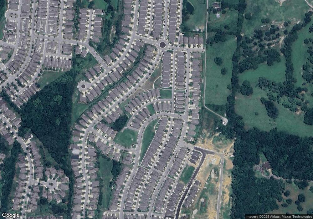
Map
Nearby Homes
- 4033 Liberton Way
- 4516 Dumfries Alley
- 2126 Kirkwall Dr
- 4806 Kintore Dr
- 2138 Kirkwall Dr
- 2140 Kirkwall Dr
- 4805 Kintore Dr
- 1341 Duns Ln
- 5012 Wick Ln
- 4807 Kintore Dr
- 4811 Kintore Dr
- 4082 Liberton Way
- 4701 Perth Ln
- 2064 Kirkwall Dr
- 4814 Kintore Dr
- 4810 Kintore Dr
- 4088 Liberton Way
- 4149 Alva Ln
- 4830 Kintore Dr
- 2061 Kirkwall Dr
- 4110 Alva Ln
- 4108 Alva Ln Unit 228
- 4108 Alva Ln
- 4114 Alva Ln
- 4106 Alva Ln
- 4506 Dumfries Alley
- 4116 Alva Ln Unit 224
- 4116 Alva Ln
- 4104 Alva Ln
- 4506 Dumfries Alley Unit 256
- 4506 Dumfries Alley
- 4504 Dumfries Alley Unit 255
- 4504 Dumfries Alley
- 4504 Dumfries Alley
- 4224 Dysant Alley Unit 148
- 4224 Dysant Alley
- 4508 Dumfries Alley Unit 257
- 4508 Dumfries Alley
- 4508 Dumfries Alley
- 821 Branch Unit Trl