4110 Brookstone Ct Howell, MI 48843
Estimated Value: $438,699 - $484,000
3
Beds
3
Baths
2,404
Sq Ft
$192/Sq Ft
Est. Value
About This Home
This home is located at 4110 Brookstone Ct, Howell, MI 48843 and is currently estimated at $461,925, approximately $192 per square foot. 4110 Brookstone Ct is a home located in Livingston County with nearby schools including Ruahmah J. Hutchings Elementary, Parker Middle School, and Howell High School.
Ownership History
Date
Name
Owned For
Owner Type
Purchase Details
Closed on
Jul 18, 2000
Sold by
Rockel Jeffrey B and Rockel Bonnie S
Bought by
Evans Robert and Evans Jennifer
Current Estimated Value
Purchase Details
Closed on
Nov 15, 1995
Sold by
Amp Bldg Co
Bought by
Rockel Jeffrey B and Rockel S
Home Financials for this Owner
Home Financials are based on the most recent Mortgage that was taken out on this home.
Original Mortgage
$125,000
Interest Rate
7.52%
Mortgage Type
New Conventional
Create a Home Valuation Report for This Property
The Home Valuation Report is an in-depth analysis detailing your home's value as well as a comparison with similar homes in the area
Home Values in the Area
Average Home Value in this Area
Purchase History
| Date | Buyer | Sale Price | Title Company |
|---|---|---|---|
| Evans Robert | $247,900 | Metropolitan Title Company | |
| Rockel Jeffrey B | $205,385 | -- |
Source: Public Records
Mortgage History
| Date | Status | Borrower | Loan Amount |
|---|---|---|---|
| Previous Owner | Rockel Jeffrey B | $125,000 |
Source: Public Records
Tax History Compared to Growth
Tax History
| Year | Tax Paid | Tax Assessment Tax Assessment Total Assessment is a certain percentage of the fair market value that is determined by local assessors to be the total taxable value of land and additions on the property. | Land | Improvement |
|---|---|---|---|---|
| 2025 | $3,807 | $209,500 | $0 | $0 |
| 2024 | $2,044 | $190,600 | $0 | $0 |
| 2023 | $1,952 | $172,900 | $0 | $0 |
| 2022 | $2,768 | $134,500 | $0 | $0 |
| 2021 | $2,714 | $164,400 | $0 | $0 |
| 2020 | $2,742 | $143,000 | $0 | $0 |
| 2019 | $2,700 | $134,500 | $0 | $0 |
| 2018 | $2,583 | $122,700 | $0 | $0 |
| 2017 | $2,522 | $122,700 | $0 | $0 |
| 2016 | $2,530 | $120,800 | $0 | $0 |
| 2014 | $2,505 | $109,700 | $0 | $0 |
| 2012 | $2,505 | $96,200 | $0 | $0 |
Source: Public Records
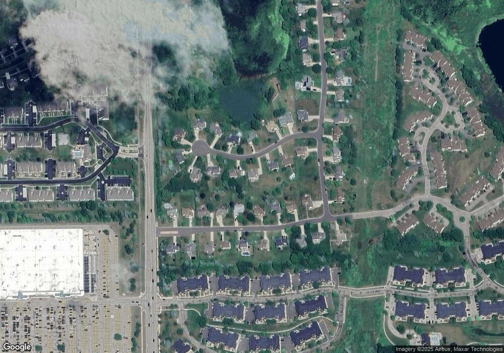
Map
Nearby Homes
- 4153 Hampton Ridge Blvd Unit 3
- 452 Cloverview Ln
- 4184 Hampton Ridge Blvd
- 4240 Hampton Ridge Blvd
- 4412 Aster Blvd
- VL E Grand River N
- 3659 Sugarbush Dr Unit 116
- 3429 Snowden Ln Unit 108
- 3449 Dewdrop Ln
- 4644 Summer Ridge Dr
- 3305 Dewdrop Ln
- 584 Black Oaks Trail
- 600 Black Oaks Trail
- 0 Victory Dr Unit 20240009532
- 628 Olde Ivy Ln Unit 22
- 636 Zion Ct
- 00 Beck Rd
- 3991 Rainier Dr Unit 1
- 2756 Turning Leaf Dr
- 959 Menominee Dr
- 4128 Brookstone Ct
- 4088 Brookstone Ct
- 4111 Aster Blvd
- 4089 Aster Blvd
- 4127 Aster Blvd
- 4070 Brookstone Ct
- 4145 Aster Blvd
- 4109 Brookstone Ct
- 4075 Aster Blvd
- 4087 Brookstone Ct
- 4152 Brookstone Ct
- 4131 Brookstone Ct
- 4153 Aster Blvd
- 4057 Aster Blvd
- 4147 Brookstone Ct
- 4042 Brookstone Ct
- 4069 Brookstone Ct
- 4041 Brookstone Ct
- 4039 Aster Blvd
- 4112 Aster Blvd