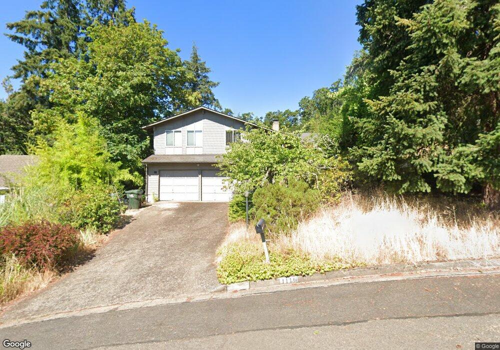
4110 Normandy Way Eugene, OR 97405
Crest Drive NeighborhoodEstimated Value: $532,000 - $623,000
4
Beds
3
Baths
2,172
Sq Ft
$266/Sq Ft
Est. Value
About This Home
This home is located at 4110 Normandy Way, Eugene, OR 97405 and is currently estimated at $577,139, approximately $265 per square foot. 4110 Normandy Way is a home located in Lane County with nearby schools including Edgewood Community Elementary School, Spencer Butte Middle School, and South Eugene High School.
Ownership History
Date
Name
Owned For
Owner Type
Purchase Details
Closed on
Aug 27, 2014
Sold by
Young Ruth Anne
Bought by
Chadwick Kristine and Lloyd Travis
Current Estimated Value
Home Financials for this Owner
Home Financials are based on the most recent Mortgage that was taken out on this home.
Original Mortgage
$221,255
Outstanding Balance
$167,720
Interest Rate
4.11%
Mortgage Type
New Conventional
Estimated Equity
$409,419
Create a Home Valuation Report for This Property
The Home Valuation Report is an in-depth analysis detailing your home's value as well as a comparison with similar homes in the area
Home Values in the Area
Average Home Value in this Area
Purchase History
| Date | Buyer | Sale Price | Title Company |
|---|---|---|---|
| Chadwick Kristine | $232,900 | Fidelity National Title Co |
Source: Public Records
Mortgage History
| Date | Status | Borrower | Loan Amount |
|---|---|---|---|
| Open | Chadwick Kristine | $221,255 |
Source: Public Records
Tax History
| Year | Tax Paid | Tax Assessment Tax Assessment Total Assessment is a certain percentage of the fair market value that is determined by local assessors to be the total taxable value of land and additions on the property. | Land | Improvement |
|---|---|---|---|---|
| 2025 | $5,924 | $304,027 | -- | -- |
| 2024 | $5,850 | $295,172 | -- | -- |
| 2023 | $5,850 | $286,575 | -- | -- |
| 2022 | $5,480 | $278,229 | $0 | $0 |
| 2021 | $5,147 | $270,126 | $0 | $0 |
| 2020 | $5,166 | $262,259 | $0 | $0 |
| 2019 | $4,989 | $254,621 | $0 | $0 |
| 2018 | $4,696 | $240,005 | $0 | $0 |
| 2017 | $4,486 | $240,005 | $0 | $0 |
| 2016 | $4,318 | $233,015 | $0 | $0 |
| 2015 | $4,204 | $226,228 | $0 | $0 |
| 2014 | $4,117 | $219,639 | $0 | $0 |
Source: Public Records
Map
Nearby Homes
- 0 Pine View Ct Unit 758820410
- 806 Sundance St
- 3854 Monroe St
- 4040 Southpointe Dr
- 320 Dellwood Dr
- 453 Dellwood Dr
- 357 W 37th Ave
- 3593 Lawrence St
- 278 Rockridge Ct
- 653 Brookside Dr
- 17 Westbrook Way
- 21 Westbrook Way
- 36 Westbrook Way
- 422 Stonewood Dr Unit 422
- 170 E 40th Ave
- 418 Stonewood Dr Unit 418
- 152 Treehill Loop Unit 152
- 151 Treehill Loop Unit 151
- 605 Fulvue Dr
- 143 Treehill Loop Unit 143
- 4122 Normandy Way
- 4090 Address Unknown Way
- 4115 Normandy Way
- 4089 Normandy Way
- 4134 Normandy Way
- 4072 Normandy Way
- 4123 Normandy Way
- 696 W 40th Ave
- 4065 Normandy Way
- 4146 Normandy Way
- 640 W 40th Ave
- 4135 Normandy Way
- 4157 Normandy Way
- 4047 Normandy Way
- 4158 Normandy Way
- 560 W 40th Ave
- 4031 Normandy Way
- 4170 Normandy Way
- 4175 Normandy Way
- 550 W 40th Ave
Your Personal Tour Guide
Ask me questions while you tour the home.