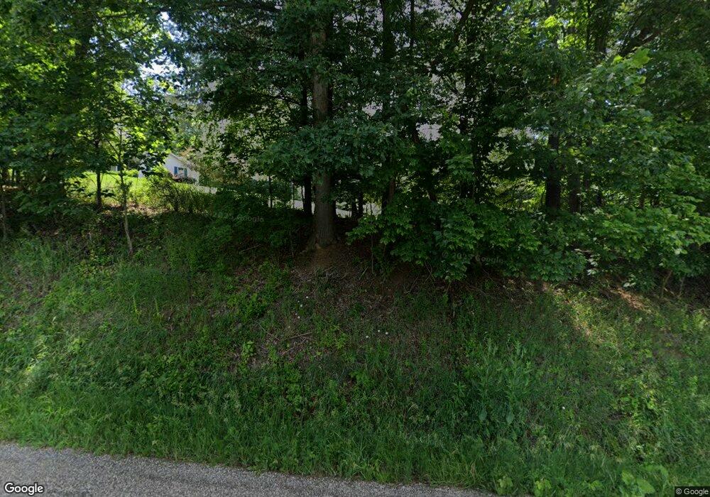
Estimated Value: $509,000 - $551,711
4
Beds
3
Baths
2,640
Sq Ft
$202/Sq Ft
Est. Value
About This Home
This home is located at 4111 Boy Scout Rd NE, Dover, OH 44622 and is currently estimated at $532,904, approximately $201 per square foot. 4111 Boy Scout Rd NE is a home located in Tuscarawas County with nearby schools including Tuscarawas Valley Primary School, Tuscarawas Valley Intermediate School, and Tuscarawas Valley Middle School.
Ownership History
Date
Name
Owned For
Owner Type
Purchase Details
Closed on
Jun 21, 2010
Sold by
Blair Bradely H
Bought by
Bilbrey Harlan M and Abbonizio Susan D
Current Estimated Value
Home Financials for this Owner
Home Financials are based on the most recent Mortgage that was taken out on this home.
Original Mortgage
$180,500
Outstanding Balance
$115,075
Interest Rate
4%
Mortgage Type
New Conventional
Estimated Equity
$417,829
Purchase Details
Closed on
Jun 1, 2000
Sold by
Fairpoint Coal Co
Bought by
Blair Bradley H
Create a Home Valuation Report for This Property
The Home Valuation Report is an in-depth analysis detailing your home's value as well as a comparison with similar homes in the area
Home Values in the Area
Average Home Value in this Area
Purchase History
| Date | Buyer | Sale Price | Title Company |
|---|---|---|---|
| Bilbrey Harlan M | $270,500 | American Title | |
| Blair Bradley H | $22,000 | -- |
Source: Public Records
Mortgage History
| Date | Status | Borrower | Loan Amount |
|---|---|---|---|
| Open | Bilbrey Harlan M | $180,500 |
Source: Public Records
Tax History Compared to Growth
Tax History
| Year | Tax Paid | Tax Assessment Tax Assessment Total Assessment is a certain percentage of the fair market value that is determined by local assessors to be the total taxable value of land and additions on the property. | Land | Improvement |
|---|---|---|---|---|
| 2024 | $4,612 | $119,640 | $22,740 | $96,900 |
| 2023 | $4,612 | $341,830 | $64,980 | $276,850 |
| 2022 | $4,638 | $119,641 | $22,743 | $96,898 |
| 2021 | $4,203 | $101,875 | $16,342 | $85,533 |
| 2020 | $4,224 | $101,875 | $16,342 | $85,533 |
| 2019 | $4,221 | $101,875 | $16,342 | $85,533 |
| 2018 | $4,241 | $97,390 | $15,620 | $81,770 |
| 2017 | $4,206 | $97,390 | $15,620 | $81,770 |
| 2016 | $4,318 | $97,390 | $15,620 | $81,770 |
| 2014 | $4,199 | $89,820 | $11,760 | $78,060 |
| 2013 | $3,477 | $89,820 | $11,760 | $78,060 |
Source: Public Records
Map
Nearby Homes
- 0 Pleasant Valley Rd NE
- 3570 Johnstown Rd NE
- 4528 Gintz Rd NE
- 4518 State Route 800 NE
- 1224 Pine Bluff Dr NE
- 3558 State Route 800 NE
- 2363 Tabor Ridge Rd NE
- 5669 Dover Zoar Rd NE
- 0 Whispering Pines Dr NE Unit 5163533
- 2178 Pleasant Valley Rd NE
- 520 Pga Blvd
- 1222 Fairway Dr NE
- 1166 Pine Bluff Dr NE
- 3031 Downeys Hill Dr NE
- 2902 Downeys Hill Dr NE
- 309 Donahey Ave NE
- 5903 Maher Rd
- 1577 State Route 39 NE
- 605 Bond St
- 329 Lloyd St
- 4345 Boy Scout Rd NE
- 4165 Boy Scout Rd NE
- 4236 Boy Scout Rd NE
- 4196 Boy Scout Rd NE
- 4332 Boy Scout Rd NE
- 4298 Boy Scout Rd NE
- 2729 Johnstown Rd NE
- 4231 Raber Rd NE
- 4203 Raber Rd NE
- 4087 Boy Scout Rd NE
- 4273 Raber Rd NE
- 4292 Boy Scout Rd NE
- 2685 Johnstown Rd NE
- 4140 Boy Scout Rd NE
- 2591 Johnstown Rd NE
- 4313 Raber Rd NE
- 4399 Burgess Rd NE
- 4399 Burgess Rd NE
- 4037 Boy Scout Rd NE
- 4426 Boy Scout Rd NE
