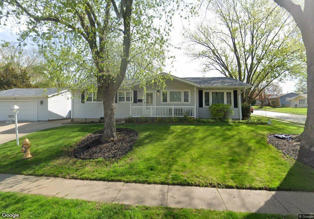
4111 Lillie Ave Davenport, IA 52806
North Side NeighborhoodEstimated Value: $207,136 - $230,000
2
Beds
1
Bath
1,320
Sq Ft
$166/Sq Ft
Est. Value
About This Home
This home is located at 4111 Lillie Ave, Davenport, IA 52806 and is currently estimated at $219,534, approximately $166 per square foot. 4111 Lillie Ave is a home located in Scott County with nearby schools including Cumberland Hall School, Harrison Elementary School, and Academy Of Continuing Education.
Ownership History
Date
Name
Owned For
Owner Type
Purchase Details
Closed on
Apr 29, 2022
Sold by
Murphey Steven E and Mujrphey Roberta
Bought by
Brinson Jeffrey T and Connor Andrea K
Current Estimated Value
Home Financials for this Owner
Home Financials are based on the most recent Mortgage that was taken out on this home.
Original Mortgage
$151,000
Outstanding Balance
$142,222
Interest Rate
4.67%
Mortgage Type
New Conventional
Estimated Equity
$77,312
Create a Home Valuation Report for This Property
The Home Valuation Report is an in-depth analysis detailing your home's value as well as a comparison with similar homes in the area
Home Values in the Area
Average Home Value in this Area
Purchase History
| Date | Buyer | Sale Price | Title Company |
|---|---|---|---|
| Brinson Jeffrey T | $183,000 | None Listed On Document |
Source: Public Records
Mortgage History
| Date | Status | Borrower | Loan Amount |
|---|---|---|---|
| Open | Brinson Jeffrey T | $151,000 |
Source: Public Records
Tax History Compared to Growth
Tax History
| Year | Tax Paid | Tax Assessment Tax Assessment Total Assessment is a certain percentage of the fair market value that is determined by local assessors to be the total taxable value of land and additions on the property. | Land | Improvement |
|---|---|---|---|---|
| 2025 | $2,996 | $207,940 | $37,740 | $170,200 |
| 2024 | $2,920 | $177,910 | $37,740 | $140,170 |
| 2023 | $3,152 | $177,910 | $37,740 | $140,170 |
| 2022 | $3,094 | $156,480 | $27,450 | $129,030 |
| 2021 | $3,094 | $153,120 | $27,450 | $125,670 |
| 2020 | $2,830 | $139,100 | $27,450 | $111,650 |
| 2019 | $2,930 | $139,100 | $27,450 | $111,650 |
| 2018 | $2,790 | $139,100 | $27,450 | $111,650 |
| 2017 | $755 | $135,750 | $27,450 | $108,300 |
| 2016 | $2,610 | $127,930 | $0 | $0 |
| 2015 | $2,610 | $127,880 | $0 | $0 |
| 2014 | $2,646 | $127,880 | $0 | $0 |
| 2013 | $2,596 | $0 | $0 | $0 |
| 2012 | -- | $145,640 | $41,470 | $104,170 |
Source: Public Records
Map
Nearby Homes
- 4449 Royal Oaks Dr
- 1453 W 41st St
- 1336 W 38th Place
- 4612 Warren St Unit 5
- 7 Vista Ct
- 4618 Fillmore Ln
- 4804 Northwest Blvd
- 1517 W Kimberly Rd
- 4757 Willow Cir
- 4743 Willow Cir
- 1344 W 37th St
- 3831 N Sturdevant St
- 4705 N Sturdevant St
- 405 Westerfield Rd
- 1617 W 38th St
- 825 Northbrook Dr
- 4610 N Ripley St
- 3433 Washington St
- 4942 Brown St
- 611 Northbrook Dr
- 4108 Warren St
- 4125 Lillie Ave
- 4112 Warren St
- 4211 Wittman Dr
- 4106 Lillie Ave
- 4114 Lillie Ave
- 4105 Warren St
- 4120 Lillie Ave
- 4102 Lillie Ave
- 4120 Lillie Ave
- 4109 Warren St
- 4116 Warren St
- 4217 Wittman Dr
- Lot 29 Lillie Ave
- Lot 23 Lillie Ave
- Lot 35 Lillie Ave
- Lot 21 Lillie Ave
- Lot 33 Lillie Ave
- Lot 31 Lillie Ave
- Lot 27 Lillie Ave