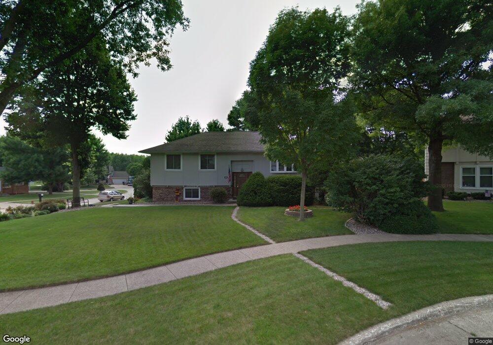
4112 77th Place Cir Urbandale, IA 50322
Estimated Value: $290,000 - $318,000
3
Beds
3
Baths
1,225
Sq Ft
$243/Sq Ft
Est. Value
About This Home
This home is located at 4112 77th Place Cir, Urbandale, IA 50322 and is currently estimated at $297,909, approximately $243 per square foot. 4112 77th Place Cir is a home located in Polk County with nearby schools including Olmsted Elementary School, Urbandale Middle School, and Urbandale High School.
Ownership History
Date
Name
Owned For
Owner Type
Purchase Details
Closed on
Apr 16, 2015
Sold by
Dressen James B and Dressen Mary J
Bought by
Twombly John and Twombly Khamla
Current Estimated Value
Home Financials for this Owner
Home Financials are based on the most recent Mortgage that was taken out on this home.
Original Mortgage
$183,808
Outstanding Balance
$141,653
Interest Rate
3.77%
Mortgage Type
VA
Estimated Equity
$156,256
Create a Home Valuation Report for This Property
The Home Valuation Report is an in-depth analysis detailing your home's value as well as a comparison with similar homes in the area
Home Values in the Area
Average Home Value in this Area
Purchase History
| Date | Buyer | Sale Price | Title Company |
|---|---|---|---|
| Twombly John | $179,500 | Security First Title Co |
Source: Public Records
Mortgage History
| Date | Status | Borrower | Loan Amount |
|---|---|---|---|
| Open | Twombly John | $183,808 |
Source: Public Records
Tax History Compared to Growth
Tax History
| Year | Tax Paid | Tax Assessment Tax Assessment Total Assessment is a certain percentage of the fair market value that is determined by local assessors to be the total taxable value of land and additions on the property. | Land | Improvement |
|---|---|---|---|---|
| 2025 | $4,750 | $278,000 | $63,700 | $214,300 |
| 2024 | $4,750 | $262,200 | $59,400 | $202,800 |
| 2023 | $4,370 | $262,200 | $59,400 | $202,800 |
| 2022 | $4,320 | $203,700 | $47,200 | $156,500 |
| 2021 | $4,398 | $203,700 | $47,200 | $156,500 |
| 2020 | $4,324 | $196,800 | $45,500 | $151,300 |
| 2019 | $3,982 | $196,800 | $45,500 | $151,300 |
| 2018 | $3,838 | $173,200 | $39,700 | $133,500 |
| 2017 | $3,586 | $173,200 | $39,700 | $133,500 |
| 2016 | $3,498 | $159,100 | $35,800 | $123,300 |
| 2015 | $3,498 | $159,100 | $35,800 | $123,300 |
| 2014 | $3,226 | $154,100 | $34,700 | $119,400 |
Source: Public Records
Map
Nearby Homes
- 7613 Prairie Ave
- 4209 74th St
- 3924 80th St
- 4100 73rd St
- 4117 83rd St
- 4121 73rd St
- 3904 76th St
- 4421 77th St
- 4404 73rd Place
- 7200 Twana Dr
- 4405 73rd Place
- 7815 Douglas Ave Unit 304
- 7815 Douglas Ave Unit 107
- 8220 Twana Dr
- 3907 73rd St
- 7307 Douglas Ave
- 8002 Goodman Dr
- 4405 71st Place
- 3900 Rolling Green Dr
- 8501 Airline Ave
- 4116 77th Place Cir
- 4113 78th Street Cir
- 4117 78th Street Cir
- 7708 Winston Ave
- 7712 Winston Ave
- 4120 77th Place Cir
- 7704 Winston Ave
- 4121 77th Place Cir
- 4121 78th Street Cir
- 4117 77th Place Cir
- 7700 Winston Ave
- 7709 Prairie Ave
- 4101 78th St
- 4106 78th St
- 7705 Prairie Ave
- 4112 77th Street Cir
- 4116 77th Street Cir
- 7616 Winston Ave
- 4120 78th Street Cir
- 7701 Prairie Ave