Estimated Value: $528,000 - $681,000
--
Bed
--
Bath
1,984
Sq Ft
$305/Sq Ft
Est. Value
About This Home
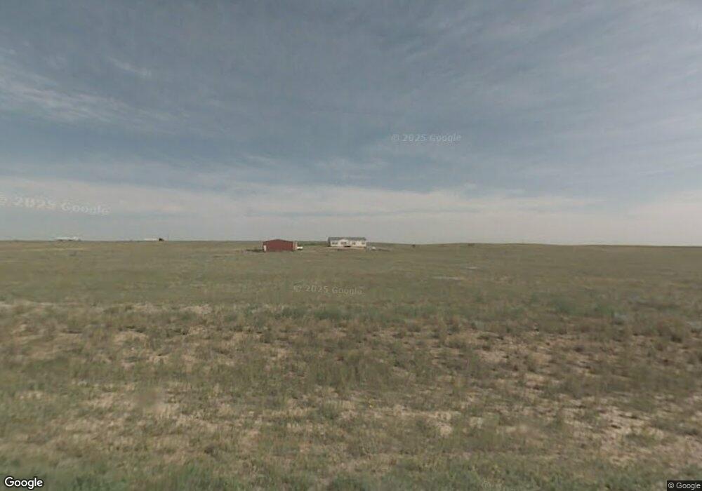
This home is located at 4112 Meadow Ridge Way, Burns, WY 82053 and is currently estimated at $604,626, approximately $304 per square foot. 4112 Meadow Ridge Way is a home.
Ownership History
Date
Name
Owned For
Owner Type
Purchase Details
Closed on
Dec 11, 2019
Sold by
Raybuck Philip E
Bought by
Raybuck Philip E and Raybuck Tracy M
Current Estimated Value
Home Financials for this Owner
Home Financials are based on the most recent Mortgage that was taken out on this home.
Original Mortgage
$105,000
Interest Rate
3.6%
Mortgage Type
New Conventional
Purchase Details
Closed on
Dec 10, 2015
Sold by
Raybuck David T
Bought by
Raybuck Philip E
Create a Home Valuation Report for This Property
The Home Valuation Report is an in-depth analysis detailing your home's value as well as a comparison with similar homes in the area
Home Values in the Area
Average Home Value in this Area
Purchase History
| Date | Buyer | Sale Price | Title Company |
|---|---|---|---|
| Raybuck Philip E | -- | First American | |
| Raybuck Philip E | -- | None Available |
Source: Public Records
Mortgage History
| Date | Status | Borrower | Loan Amount |
|---|---|---|---|
| Closed | Raybuck Philip E | $105,000 |
Source: Public Records
Tax History Compared to Growth
Tax History
| Year | Tax Paid | Tax Assessment Tax Assessment Total Assessment is a certain percentage of the fair market value that is determined by local assessors to be the total taxable value of land and additions on the property. | Land | Improvement |
|---|---|---|---|---|
| 2025 | $2,700 | $30,910 | $2,728 | $28,182 |
| 2024 | $2,700 | $39,300 | $3,498 | $35,802 |
| 2023 | $2,624 | $38,189 | $3,498 | $34,691 |
| 2022 | $2,324 | $33,116 | $3,498 | $29,618 |
| 2021 | $2,164 | $30,763 | $3,498 | $27,265 |
| 2020 | $1,935 | $27,587 | $3,498 | $24,089 |
| 2019 | $1,673 | $26,835 | $3,498 | $23,337 |
| 2018 | $1,532 | $25,031 | $3,498 | $21,533 |
| 2017 | $1,506 | $24,457 | $3,498 | $20,959 |
| 2016 | $1,507 | $24,475 | $3,473 | $21,002 |
| 2015 | $1,471 | $23,952 | $3,473 | $20,479 |
| 2014 | $1,469 | $23,779 | $3,473 | $20,306 |
Source: Public Records
Map
Nearby Homes
- 4154 Antelope Meadows Dr
- 4116 Derek Ct
- 1019 Blue Duck Trail
- Tract 16 Blue Duck Trail
- Tract 19 Lonesome Dove Trail
- Tract 7 Blue Duck Trail
- Tract 20 Lonesome Dove Trail
- Tract 21 Lonesome Dove Trail
- Tract 18 Lonesome Dove Trail
- Tract 9 Jake Spoon Trail
- Tract 5 Jake Spoon Trail
- Tract 23 Lonesome Dove Trail
- Tract 2 Jake Spoon Trail
- S 1/2 Tract 7 East Rd
- 876 West Rd
- Tract 4 Road 143
- Tract 3 Road 143
- Tract 2 Road 143
- Tract 1 Road 143
- Tract 10 Road 143
- 4088 Meadow Ridge Way
- 4088 Meadow Ridge Way
- 1067 Prairie Grass Ln
- 1054 Prairie Grass Ln
- 4095 Meadow Ridge Way
- 4077 Meadow Ridge Way
- 4074 Meadow Ridge Way
- 4120 Antelope Meadows Dr
- 4157 Meadow Ridge Way
- 4157 Meadow Ridge Way
- 4079 Antelope Meadows Dr
- 4103 Antelope Meadows Dr
- 4166 Meadow Ridge Way
- 4166 Meadow Ridge Way
- 4050 Antelope Meadows Dr
- 1069 140
- 4145 Antelope Meadows Dr
- 4180 Meadow Ridge Way
- 4066 I-80 Service Rd Unit 67
- 4066 I-80 Service Rd Unit 46