Estimated Value: $678,000 - $938,080
3
Beds
3
Baths
3,130
Sq Ft
$250/Sq Ft
Est. Value
About This Home
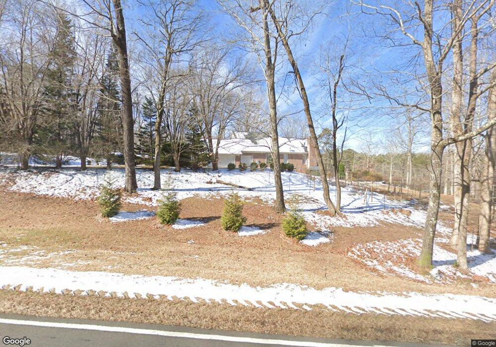
This home is located at 4113 Range Rd, Stem, NC 27581 and is currently estimated at $783,770, approximately $250 per square foot. 4113 Range Rd is a home located in Granville County with nearby schools including West Oxford Elementary School, Butner-Stem Middle School, and Granville Central High School.
Ownership History
Date
Name
Owned For
Owner Type
Purchase Details
Closed on
Jul 31, 2017
Sold by
Thomas Glenda H
Bought by
Steffensen Christine M and Steffensen Paul M
Current Estimated Value
Purchase Details
Closed on
May 21, 2001
Bought by
Thomas Roger L and Thomas Glenda H
Create a Home Valuation Report for This Property
The Home Valuation Report is an in-depth analysis detailing your home's value as well as a comparison with similar homes in the area
Purchase History
| Date | Buyer | Sale Price | Title Company |
|---|---|---|---|
| Steffensen Christine M | $375,000 | None Available | |
| Thomas Roger L | $405,000 | -- |
Source: Public Records
Tax History
| Year | Tax Paid | Tax Assessment Tax Assessment Total Assessment is a certain percentage of the fair market value that is determined by local assessors to be the total taxable value of land and additions on the property. | Land | Improvement |
|---|---|---|---|---|
| 2025 | $5,610 | $804,653 | $106,655 | $697,998 |
| 2024 | $5,610 | $804,653 | $106,655 | $697,998 |
| 2023 | $3,504 | $375,972 | $48,761 | $327,211 |
| 2022 | $3,483 | $375,972 | $48,761 | $327,211 |
| 2021 | $3,252 | $375,972 | $48,761 | $327,211 |
| 2020 | $3,252 | $375,972 | $48,761 | $327,211 |
| 2019 | $3,252 | $375,972 | $48,761 | $327,211 |
| 2018 | $3,258 | $485,979 | $53,748 | $432,231 |
| 2016 | $4,211 | $467,785 | $59,494 | $408,291 |
| 2015 | $3,972 | $467,785 | $59,494 | $408,291 |
| 2014 | $3,972 | $467,785 | $59,494 | $408,291 |
| 2013 | -- | $467,785 | $59,494 | $408,291 |
Source: Public Records
Map
Nearby Homes
- 4551 Sugar Maple Rd
- 1664 Garrett Farm Rd
- 1652 Garrett Farm Rd
- 1658 Garrett Farm Rd
- Lot 11 Poppy Mallow Ln
- 4459 Poppy Mallow Ln
- 1190 Little Mountain Rd
- Lot 17 Crown Oaks Dr
- 211 Old North Carolina 75
- 207 Old North Carolina 75
- 103 Averly Ct
- 3538 Saddle Ridge Rd
- 1086 Roberts Chapel Rd
- 3569 Jacobs Rd
- 1037 Sunshine Cir
- 3555 Deerfield Rd
- 2071 Thad Carey Rd
- 2020 Enon Rd Unit Lot 4a
- 2024 Enon Rd Unit Lot 3a
- 4311 Old North Carolina 75
- 4113 Range Rd Unit 2
- 4111 Range Rd
- 4114 Range Rd
- 4126 Range Rd
- 4120 Range Rd
- 4107 Range Rd
- 1133 Bowling Mountain Dr
- 4108 Range Rd
- 1129 Bowling Mountain Dr
- 1127 Bowling Mountain Dr
- 1134 Bowling Mountain Dr
- LOT 8 A Bowling Mountain Dr
- LOT 4 Bowling Mountain Dr
- LOT 6 Bowling Mountain Dr
- LOT 5 Bowling Mountain Dr
- LOT 7 Bowling Mountain Dr
- LOT 11 Bowling Mountain Dr
- LOT 16 Bowling Mountain Dr
- LOT 15 Bowling Mountain Dr
- 0 Bowling Mountain Dr Unit 1771601
Your Personal Tour Guide
Ask me questions while you tour the home.