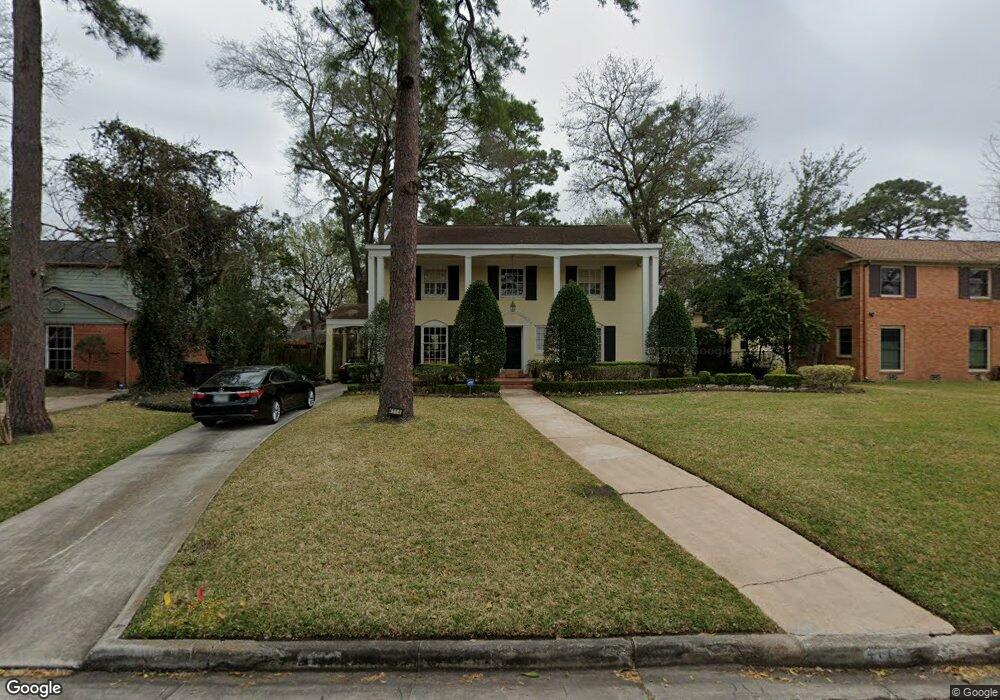
4114 Fernwood Dr Houston, TX 77021
MacGregor NeighborhoodEstimated Value: $460,434 - $609,000
4
Beds
4
Baths
2,600
Sq Ft
$209/Sq Ft
Est. Value
About This Home
This home is located at 4114 Fernwood Dr, Houston, TX 77021 and is currently estimated at $542,859, approximately $208 per square foot. 4114 Fernwood Dr is a home located in Harris County with nearby schools including Peck Elementary School, Cullen Middle School, and Yates High School.
Ownership History
Date
Name
Owned For
Owner Type
Purchase Details
Closed on
Mar 8, 2018
Sold by
Anderson Robert L
Bought by
Anderson Robert L and Anderson Cheryl Porter
Current Estimated Value
Home Financials for this Owner
Home Financials are based on the most recent Mortgage that was taken out on this home.
Original Mortgage
$472,500
Interest Rate
4.62%
Mortgage Type
FHA
Create a Home Valuation Report for This Property
The Home Valuation Report is an in-depth analysis detailing your home's value as well as a comparison with similar homes in the area
Home Values in the Area
Average Home Value in this Area
Purchase History
| Date | Buyer | Sale Price | Title Company |
|---|---|---|---|
| Anderson Robert L | -- | Lawyers Title |
Source: Public Records
Mortgage History
| Date | Status | Borrower | Loan Amount |
|---|---|---|---|
| Closed | Anderson Robert L | $472,500 |
Source: Public Records
Tax History Compared to Growth
Tax History
| Year | Tax Paid | Tax Assessment Tax Assessment Total Assessment is a certain percentage of the fair market value that is determined by local assessors to be the total taxable value of land and additions on the property. | Land | Improvement |
|---|---|---|---|---|
| 2025 | $852 | $435,741 | $327,975 | $107,766 |
| 2024 | $852 | $435,741 | $327,975 | $107,766 |
| 2023 | $852 | $463,635 | $327,975 | $135,660 |
| 2022 | $9,224 | $445,474 | $327,975 | $117,499 |
| 2021 | $8,435 | $361,921 | $251,448 | $110,473 |
| 2020 | $9,592 | $378,130 | $240,515 | $137,615 |
| 2019 | $10,039 | $379,500 | $207,718 | $171,782 |
| 2018 | $2,407 | $325,312 | $163,988 | $161,324 |
| 2017 | $7,771 | $325,312 | $163,988 | $161,324 |
| 2016 | $7,065 | $272,355 | $131,190 | $141,165 |
| 2015 | -- | $242,954 | $131,190 | $111,764 |
| 2014 | -- | $242,954 | $131,190 | $111,764 |
Source: Public Records
Map
Nearby Homes
- 4211 Charleston St
- 4107 Charleston St
- 4031 Fernwood Dr
- 4302 Fernwood Dr
- 4327 Alconbury Ln
- 4310 Fernwood Dr
- 4315 Fernwood Dr
- 0 S Macgregor Way Unit 94380145
- 4014 England Ct E
- 4435 Old Spanish Trail
- 5811 Eastwood St
- 3827 Julius Ln
- 4013 Griggs Rd Unit E
- 4013 Griggs Rd Unit D
- 4711 Marietta Ln
- 3902 Charleston St
- 3862 Wichita St
- 3917, 3919 Griggs Rd
- 4735 Marietta Ln
- 5908 Saint Augustine St Unit B
- 4118 Fernwood Dr
- 4108 Fernwood Dr
- 4124 Fernwood Dr
- 4102 Fernwood Dr
- 4215 Charleston St
- 4207 Charleston St
- 4115 Fernwood Dr
- 4203 Charleston St
- 4109 Fernwood Dr
- 4128 Fernwood Dr
- 4050 Fernwood Dr
- 4127 Fernwood Dr
- 4115 Charleston St
- 4101 Fernwood Dr
- 4129 Fernwood Dr
- 4223 Charleston St
- 4216 Charleston St
- 4212 Charleston St
- 5540 Cullen Blvd
- 4111 Charleston St