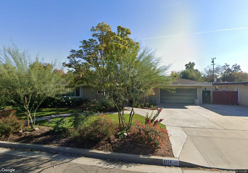
4114 N Angus St Fresno, CA 93726
McLane NeighborhoodEstimated Value: $350,072 - $388,000
3
Beds
2
Baths
1,661
Sq Ft
$221/Sq Ft
Est. Value
About This Home
This home is located at 4114 N Angus St, Fresno, CA 93726 and is currently estimated at $366,268, approximately $220 per square foot. 4114 N Angus St is a home located in Fresno County with nearby schools including Pyle Elementary School, Tioga Middle School, and Herbert Hoover High School.
Ownership History
Date
Name
Owned For
Owner Type
Purchase Details
Closed on
Aug 21, 2020
Sold by
Ripley Donald B
Bought by
Ripley Doald B and Ripley Dina M
Current Estimated Value
Purchase Details
Closed on
Apr 18, 2019
Sold by
John L Ripley Trust
Bought by
Ripley Jeffrey
Purchase Details
Closed on
Sep 5, 1996
Sold by
Ripley John L
Bought by
Ripley John L and John L Ripley Trust
Create a Home Valuation Report for This Property
The Home Valuation Report is an in-depth analysis detailing your home's value as well as a comparison with similar homes in the area
Home Values in the Area
Average Home Value in this Area
Purchase History
| Date | Buyer | Sale Price | Title Company |
|---|---|---|---|
| Ripley Doald B | -- | None Available | |
| Ripley Donald R | -- | None Available | |
| Ripley Jeffrey | -- | None Available | |
| Ripley John L | -- | -- |
Source: Public Records
Tax History Compared to Growth
Tax History
| Year | Tax Paid | Tax Assessment Tax Assessment Total Assessment is a certain percentage of the fair market value that is determined by local assessors to be the total taxable value of land and additions on the property. | Land | Improvement |
|---|---|---|---|---|
| 2025 | $1,409 | $106,457 | $14,984 | $91,473 |
| 2023 | $1,153 | $88,325 | $14,403 | $73,922 |
| 2022 | $963 | $72,869 | $14,121 | $58,748 |
| 2021 | $937 | $71,442 | $13,845 | $57,597 |
| 2020 | $933 | $70,711 | $13,704 | $57,007 |
| 2019 | $811 | $69,326 | $13,436 | $55,890 |
| 2018 | $792 | $67,968 | $13,173 | $54,795 |
| 2017 | $777 | $66,636 | $12,915 | $53,721 |
| 2016 | $750 | $65,330 | $12,662 | $52,668 |
| 2015 | $738 | $64,349 | $12,472 | $51,877 |
| 2014 | $720 | $63,089 | $12,228 | $50,861 |
Source: Public Records
Map
Nearby Homes
- 4005 N 1st St
- 3214 E Griffith Way
- 2733 E Willis Ave
- 2999 E Richert Ave
- 3862 N Orchard St
- 2723 E Lansing Way
- 3413 E Ashlan Ave
- 3014 E Dakota Ave
- 2732 E Lansing Way
- 4259 N 4th St
- 2972 E Northdale Ave
- 3023 E Robinson Ave
- 4326 N Fresno St
- 2316 E Hampton Way
- 2333 E Austin Way
- 4136 N Thesta St Unit 36
- 4136 N Thesta St
- 4136 N Thesta St Unit 31
- 2542 E Ashcroft Ave
- 2817 E Indianapolis Ave
- 4104 N Angus St
- 4140 N Angus St
- 4121 N Sherman St
- 4131 N Sherman St
- 4090 N Angus St
- 4111 N Sherman St
- 2991 E Joaquin Place
- 4143 N Sherman St
- 2990 E Buckingham Way
- 4095 N Sherman St
- 4084 N Angus St
- 2981 E Joaquin Place
- 3035 E Buckingham Way
- 4087 N Sherman St
- 3007 E Buckingham Way
- 2980 E Buckingham Way
- 4120 N Sherman St
- 4130 N Sherman St
- 3045 E Buckingham Way
- 2995 E Buckingham Way