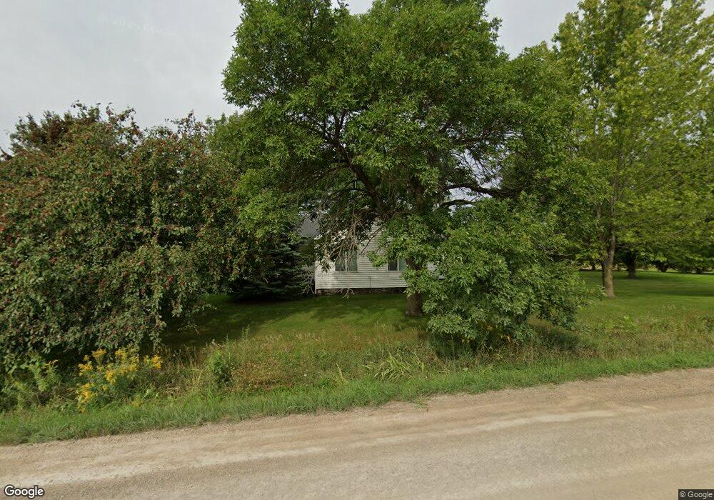
4114 Wildlife Rd Center Point, IA 52213
Estimated Value: $254,000 - $1,536,826
3
Beds
2
Baths
1,805
Sq Ft
$383/Sq Ft
Est. Value
About This Home
This home is located at 4114 Wildlife Rd, Center Point, IA 52213 and is currently estimated at $691,942, approximately $383 per square foot. 4114 Wildlife Rd is a home located in Linn County with nearby schools including Center Point-Urbana Primary School, Center Point-Urbana Intermediate School, and Center Point-Urbana Middle School.
Ownership History
Date
Name
Owned For
Owner Type
Purchase Details
Closed on
Dec 1, 2011
Sold by
Lala Michael M and Lala Lisa M
Bought by
Abernathey Family Farms Llc
Current Estimated Value
Home Financials for this Owner
Home Financials are based on the most recent Mortgage that was taken out on this home.
Original Mortgage
$110,432
Interest Rate
4.08%
Mortgage Type
Purchase Money Mortgage
Create a Home Valuation Report for This Property
The Home Valuation Report is an in-depth analysis detailing your home's value as well as a comparison with similar homes in the area
Home Values in the Area
Average Home Value in this Area
Purchase History
| Date | Buyer | Sale Price | Title Company |
|---|---|---|---|
| Abernathey Family Farms Llc | $855,500 | None Available |
Source: Public Records
Mortgage History
| Date | Status | Borrower | Loan Amount |
|---|---|---|---|
| Closed | Abernathey Family Farms Llc | $110,432 |
Source: Public Records
Tax History Compared to Growth
Tax History
| Year | Tax Paid | Tax Assessment Tax Assessment Total Assessment is a certain percentage of the fair market value that is determined by local assessors to be the total taxable value of land and additions on the property. | Land | Improvement |
|---|---|---|---|---|
| 2025 | $4,032 | $281,200 | $88,600 | $192,600 |
| 2024 | $3,754 | $259,700 | $75,900 | $183,800 |
| 2023 | $3,754 | $259,700 | $75,900 | $183,800 |
| 2022 | $3,670 | $197,600 | $58,800 | $138,800 |
| 2021 | $3,508 | $197,600 | $58,800 | $138,800 |
| 2020 | $3,508 | $185,000 | $58,200 | $126,800 |
| 2019 | $3,230 | $197,800 | $80,600 | $117,200 |
| 2018 | $3,148 | $197,800 | $80,600 | $117,200 |
| 2017 | $3,126 | $203,800 | $88,600 | $115,200 |
| 2016 | $3,058 | $203,800 | $88,600 | $115,200 |
| 2015 | $2,775 | $186,700 | $70,400 | $116,300 |
| 2014 | $2,734 | $189,800 | $70,400 | $119,400 |
| 2013 | $2,694 | $189,800 | $70,400 | $119,400 |
Source: Public Records
Map
Nearby Homes
- 4299 Lewis Access Rd
- 0 Grain Ln
- 829 Main St S
- 0 Palo Rd
- 523 E Terrace Dr
- 529 Jefferson Ct
- 0 Indian Boundary Rd
- 318 Crestview Dr
- 31 Acres N Center Point Rd
- 115 Main St
- 0 Iowa St
- 717 Pointer Cir
- 718 Pointer Cir
- 809 Iowa St
- 120 Green St
- 132 Green St
- 316 E Washington St
- 507 Maplewood Dr
- 601 Maplewood Dr
- 702 Central Ave
- 4117 Wildlife Rd
- 4357 Cedar Heights Rd
- 4246 Cedar Heights Rd
- 4366 Cedar Heights Rd
- 4374 Cedar Heights Rd
- 4120 High Woods Rd
- 4221 Cedar Heights Rd
- 4113 High Woods Rd
- 4299 Lewis Access Rd Unit Lot 2
- 4299 Lewis Access Rd Unit Lot 3
- 4299 Lewis Access Rd Unit LOT 1
- 4034 High Woods Rd
- 4031 Cedar Heights Trail
- 4045 Williams Lake Rd
- 4000 Wildlife Rd
- 4030 High Woods Rd
- 4197 Carole Ct
- 4437 Cedar Heights Rd
- 4004 High Woods Rd
- 4022 High Woods Rd