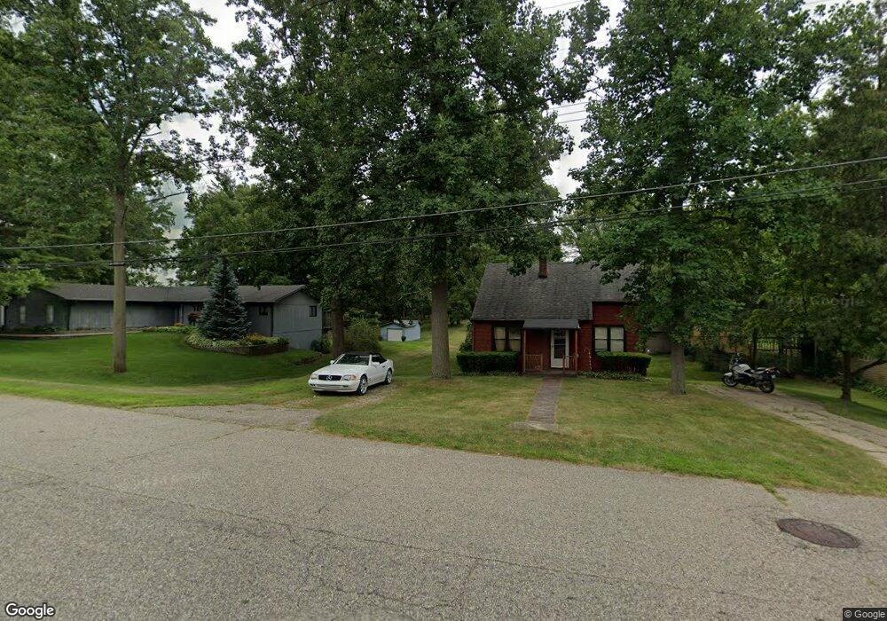
4115 Crocus Rd Unit Bldg-Unit Waterford, MI 48328
Waterford Township NeighborhoodEstimated Value: $283,000 - $299,436
3
Beds
4
Baths
1,125
Sq Ft
$259/Sq Ft
Est. Value
About This Home
This home is located at 4115 Crocus Rd Unit Bldg-Unit, Waterford, MI 48328 and is currently estimated at $291,859, approximately $259 per square foot. 4115 Crocus Rd Unit Bldg-Unit is a home located in Oakland County with nearby schools including Riverside Elementary School, Mason Middle School, and Waterford Mott High School.
Ownership History
Date
Name
Owned For
Owner Type
Purchase Details
Closed on
Nov 12, 2021
Sold by
Jetai Pippin
Bought by
Stanton Ryan J and Kuzinski Robyn A
Current Estimated Value
Purchase Details
Closed on
Jul 2, 2018
Sold by
Cook William M
Bought by
Pippen Jetai
Purchase Details
Closed on
Jun 15, 2012
Sold by
Dietz Jessica and Cook Jessica
Bought by
Cook William M
Purchase Details
Closed on
Oct 27, 1999
Sold by
Williamson Dorothy A
Bought by
Cook William M
Create a Home Valuation Report for This Property
The Home Valuation Report is an in-depth analysis detailing your home's value as well as a comparison with similar homes in the area
Home Values in the Area
Average Home Value in this Area
Purchase History
| Date | Buyer | Sale Price | Title Company |
|---|---|---|---|
| Stanton Ryan J | $250,000 | None Listed On Document | |
| Pippen Jetai | $170,000 | None Available | |
| Cook William M | -- | None Available | |
| Cook William M | $112,000 | -- |
Source: Public Records
Tax History Compared to Growth
Tax History
| Year | Tax Paid | Tax Assessment Tax Assessment Total Assessment is a certain percentage of the fair market value that is determined by local assessors to be the total taxable value of land and additions on the property. | Land | Improvement |
|---|---|---|---|---|
| 2024 | $2,232 | $119,540 | $0 | $0 |
| 2023 | $2,129 | $101,140 | $0 | $0 |
| 2022 | $3,469 | $94,870 | $0 | $0 |
| 2021 | $1,867 | $80,370 | $0 | $0 |
| 2020 | $1,025 | $50,070 | $0 | $0 |
| 2019 | $1,706 | $46,780 | $0 | $0 |
| 2018 | $1,618 | $42,080 | $0 | $0 |
| 2017 | $1,010 | $42,080 | $0 | $0 |
| 2016 | $1,022 | $38,270 | $0 | $0 |
| 2015 | -- | $29,890 | $0 | $0 |
| 2014 | -- | $27,880 | $0 | $0 |
| 2011 | -- | $32,270 | $0 | $0 |
Source: Public Records
Map
Nearby Homes
- 257 Madeleine Ln
- 256 Madeleine Ln
- 188 N Avery Rd
- 111 Willow Way
- 3676 Mark Rd
- 87 N Roslyn Rd
- 125 N Winding Dr
- 0 N Winding Dr
- 85 Doremus Ave
- 43 Doremus Ave
- 1225 Eason
- 00 Gilbo Ave
- 571 Cristy Ave
- 4840 Hobson Ave
- 001 Hobson Ave
- 27 Lake Village Ave
- 0000 Cheyenne
- 4875 Fenmore Ave
- 89 Clive Ave
- 4882 Elizabeth Lake Rd
- 4115 Crocus Rd
- 4129 Crocus Rd
- 4105 Crocus Rd
- 4141 Crocus Rd
- 723 Globe Rd
- 4108 Crocus Rd
- 4091 Crocus Rd
- 4096 Crocus Rd
- 727 Globe Rd
- 4151 Crocus Rd
- 4084 Crocus Rd
- 4081 Crocus Rd
- 4154 Crocus Rd
- 735 Globe Rd
- 730 Globe Rd
- 4072 Crocus Rd
- 4067 Crocus Rd
- 748 Globe Rd
- 4175 Crocus Rd
- 706 Gertrude Rd Unit Bldg-Unit