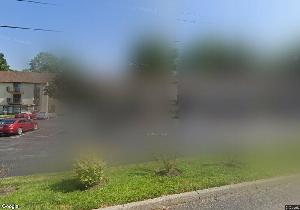
4115 Karl Rd Columbus, OH 43224
Clinton Estates NeighborhoodEstimated Value: $73,568 - $85,000
2
Beds
1
Bath
882
Sq Ft
$89/Sq Ft
Est. Value
About This Home
This home is located at 4115 Karl Rd, Columbus, OH 43224 and is currently estimated at $78,856, approximately $89 per square foot. 4115 Karl Rd is a home located in Franklin County with nearby schools including Maize Road Elementary School, Medina Middle School, and Mifflin High School.
Ownership History
Date
Name
Owned For
Owner Type
Purchase Details
Closed on
Jan 20, 2023
Sold by
Smith Daniel
Bought by
Rothgeb Richard Allen
Current Estimated Value
Purchase Details
Closed on
Jun 13, 2014
Sold by
Champ David
Bought by
Smith Daniel and Smith Amy
Purchase Details
Closed on
Nov 1, 1988
Bought by
Champ Ann
Purchase Details
Closed on
Feb 1, 1984
Create a Home Valuation Report for This Property
The Home Valuation Report is an in-depth analysis detailing your home's value as well as a comparison with similar homes in the area
Home Values in the Area
Average Home Value in this Area
Purchase History
| Date | Buyer | Sale Price | Title Company |
|---|---|---|---|
| Rothgeb Richard Allen | $55,000 | Northwest Advantage Title Agen | |
| Smith Daniel | $24,500 | Quality Choice Title Box | |
| Champ Ann | $36,900 | -- | |
| -- | $30,000 | -- |
Source: Public Records
Tax History Compared to Growth
Tax History
| Year | Tax Paid | Tax Assessment Tax Assessment Total Assessment is a certain percentage of the fair market value that is determined by local assessors to be the total taxable value of land and additions on the property. | Land | Improvement |
|---|---|---|---|---|
| 2024 | $960 | $21,390 | $4,730 | $16,660 |
| 2023 | $968 | $21,390 | $4,730 | $16,660 |
| 2022 | $663 | $12,470 | $1,650 | $10,820 |
| 2021 | $814 | $12,470 | $1,650 | $10,820 |
| 2020 | $665 | $12,470 | $1,650 | $10,820 |
| 2019 | $575 | $9,250 | $1,230 | $8,020 |
| 2018 | $287 | $9,250 | $1,230 | $8,020 |
| 2017 | $567 | $9,250 | $1,230 | $8,020 |
| 2016 | $559 | $8,230 | $1,790 | $6,440 |
| 2015 | $255 | $8,230 | $1,790 | $6,440 |
| 2014 | $496 | $8,230 | $1,790 | $6,440 |
| 2013 | $306 | $10,290 | $2,240 | $8,050 |
Source: Public Records
Map
Nearby Homes
- 4119 Karl Rd Unit 108
- 4143 Karl Rd Unit 314
- 4145 Karl Rd Unit 223
- 3967 Karl Rd Unit 125
- 3965 Karl Rd Unit 208
- 4057 Estates Place
- 3941 Karl Rd Unit 326
- 3939 Karl Rd Unit 108
- 1440 E Cooke Rd
- 4455 Kenfield Rd
- 1734 Ferris Rd
- 1191 Bryson Rd
- 1496 E Cooke Rd
- 1130 Carbone Dr
- 1064 Hillsdale Dr
- 1863 Ward Rd
- 1266 Pershing Dr
- 3749 Ganson Dr
- 1382 Elmore Ave
- 4441 Wetmore Rd E
- 4115 Karl Rd Unit A304
- 4115 Karl Rd Unit 105A
- 4115 Karl Rd Unit A209
- 4115 Karl Rd Unit 208
- 4115 Karl Rd Unit A109
- 4115 Karl Rd Unit 301
- 4115 Karl Rd
- 4115 Karl Rd Unit A201
- 4115 Karl Rd Unit A106
- 4115 Karl Rd
- 4115 Karl Rd Unit 202
- 4115 Karl Rd Unit A306
- 4115 Karl Rd Unit A204
- 4115 Karl Rd Unit A206
- 4115 Karl Rd Unit A102
- 4115 Karl Rd Unit A207
- 4115 Karl Rd
- 4115 Karl Rd
- 4115 Karl Rd
- 4115 Karl Rd