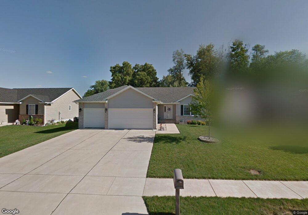
4116 Garry Dr Springfield, IL 62712
Estimated Value: $304,130 - $341,000
3
Beds
2
Baths
1,700
Sq Ft
$194/Sq Ft
Est. Value
About This Home
This home is located at 4116 Garry Dr, Springfield, IL 62712 and is currently estimated at $329,033, approximately $193 per square foot. 4116 Garry Dr is a home located in Sangamon County with nearby schools including Rochester Elementary Ec-1 School, Rochester Elementary School, and Rochester Intermediate School.
Ownership History
Date
Name
Owned For
Owner Type
Purchase Details
Closed on
Mar 8, 2019
Sold by
Stuart Tricia
Bought by
Stuart Michael G
Current Estimated Value
Home Financials for this Owner
Home Financials are based on the most recent Mortgage that was taken out on this home.
Original Mortgage
$123,210
Outstanding Balance
$78,155
Interest Rate
3.75%
Mortgage Type
New Conventional
Estimated Equity
$250,878
Purchase Details
Closed on
Feb 5, 2010
Purchase Details
Closed on
Sep 1, 2006
Purchase Details
Closed on
Aug 31, 2006
Purchase Details
Closed on
Jun 9, 2006
Purchase Details
Closed on
May 30, 2006
Purchase Details
Closed on
Dec 22, 2004
Create a Home Valuation Report for This Property
The Home Valuation Report is an in-depth analysis detailing your home's value as well as a comparison with similar homes in the area
Purchase History
| Date | Buyer | Sale Price | Title Company |
|---|---|---|---|
| Stuart Michael G | -- | -- | |
| -- | $209,500 | -- | |
| -- | -- | -- | |
| -- | $36,500 | -- | |
| -- | $1,950,000 | -- | |
| -- | $1,950,000 | -- | |
| -- | -- | -- |
Source: Public Records
Mortgage History
| Date | Status | Borrower | Loan Amount |
|---|---|---|---|
| Open | Stuart Michael G | $123,210 |
Source: Public Records
Tax History
| Year | Tax Paid | Tax Assessment Tax Assessment Total Assessment is a certain percentage of the fair market value that is determined by local assessors to be the total taxable value of land and additions on the property. | Land | Improvement |
|---|---|---|---|---|
| 2024 | $5,619 | $84,872 | $15,934 | $68,938 |
| 2023 | $5,277 | $77,523 | $14,554 | $62,969 |
| 2022 | $5,033 | $73,105 | $13,806 | $59,299 |
| 2021 | $4,853 | $70,368 | $13,289 | $57,079 |
| 2020 | $4,824 | $70,474 | $13,309 | $57,165 |
| 2019 | $4,727 | $70,229 | $13,263 | $56,966 |
| 2018 | $4,473 | $66,151 | $13,198 | $52,953 |
| 2017 | $4,399 | $65,295 | $13,027 | $52,268 |
| 2016 | $4,337 | $64,343 | $12,837 | $51,506 |
| 2015 | $4,240 | $63,574 | $12,684 | $50,890 |
| 2014 | $4,223 | $63,163 | $12,602 | $50,561 |
| 2013 | $4,198 | $63,310 | $12,602 | $50,708 |
Source: Public Records
Map
Nearby Homes
- 4112 Blair Dr
- 3120 Red Bud Ln
- 66 White Birch Rd
- 2632 Hilltop Rd
- 5 Swannanoa Unit 1
- 53 Mishawaka Dr Unit 1
- 0 Oak Hill Rd
- 2709 Carl Prairie Dr
- 2632 Steiler Place
- 409 Sattley St Unit 1
- 501 Sattley St Unit 1
- 2906 Taylor Ave Unit 11
- 2875 Taylor Ave
- 329-331 Harbor Point Place
- 312 Harbor Point Place
- 314 Harbor Point Place
- 525 E Mill St Unit 1
- 3518 Sheffield Rd Unit 1
- 10 Walberta Dr Unit 1
- 3100 Butler St Unit 1833
- 4112 Garry Dr
- 4120 Garry Dr
- 4108 Garry Dr
- 4113 Garry Dr
- 4109 Garry Dr
- 4117 Garry Dr
- 4104 Garry Dr
- 4121 Garry Dr
- 4101 Garry Dr
- 4108 Blair Dr
- 4116 Blair Dr
- 4100 Garry Dr
- 4104 Blair Dr
- 4100 Blair Dr
- 4120 Blair Dr
- 3005 Laxford Dr
- 3180 White Timber Rd Unit 1
- 3184 White Timber Rd Unit 1
- 3001 Laxford Dr
- 2929 Laxford Dr
Your Personal Tour Guide
Ask me questions while you tour the home.