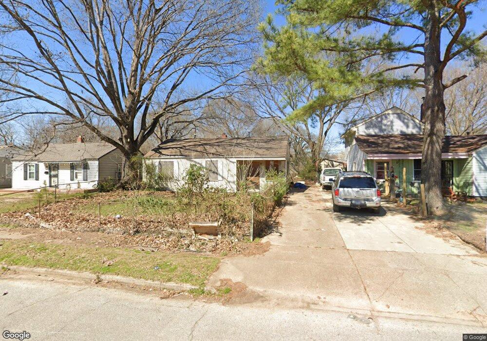
4116 Print Ave Memphis, TN 38108
Douglass NeighborhoodEstimated Value: $66,000 - $91,000
3
Beds
1
Bath
855
Sq Ft
$92/Sq Ft
Est. Value
About This Home
This home is located at 4116 Print Ave, Memphis, TN 38108 and is currently estimated at $78,965, approximately $92 per square foot. 4116 Print Ave is a home located in Shelby County with nearby schools including Wells Station Elementary School, Kingsbury Middle School, and Kingsbury High School.
Ownership History
Date
Name
Owned For
Owner Type
Purchase Details
Closed on
Jun 26, 2001
Sold by
Wells Fargo Bank Of Minnesota Na
Bought by
Reed Michael E
Current Estimated Value
Home Financials for this Owner
Home Financials are based on the most recent Mortgage that was taken out on this home.
Original Mortgage
$35,000
Outstanding Balance
$13,517
Interest Rate
7.17%
Estimated Equity
$65,448
Purchase Details
Closed on
Oct 13, 2000
Sold by
Vantilburg Charles H and Vantilburg Kimberly P
Bought by
Southern Pacific Secured Assets Corp
Purchase Details
Closed on
Mar 16, 1998
Sold by
Ernest Laura M
Bought by
Vantilburg Charles H and Vantilburg Kimberly P
Home Financials for this Owner
Home Financials are based on the most recent Mortgage that was taken out on this home.
Original Mortgage
$33,250
Interest Rate
11.06%
Create a Home Valuation Report for This Property
The Home Valuation Report is an in-depth analysis detailing your home's value as well as a comparison with similar homes in the area
Home Values in the Area
Average Home Value in this Area
Purchase History
| Date | Buyer | Sale Price | Title Company |
|---|---|---|---|
| Reed Michael E | $28,000 | -- | |
| Southern Pacific Secured Assets Corp | $35,600 | -- | |
| Vantilburg Charles H | $33,250 | Equity Title & Escrow Co |
Source: Public Records
Mortgage History
| Date | Status | Borrower | Loan Amount |
|---|---|---|---|
| Open | Reed Michael E | $35,000 | |
| Previous Owner | Vantilburg Charles H | $33,250 |
Source: Public Records
Tax History Compared to Growth
Tax History
| Year | Tax Paid | Tax Assessment Tax Assessment Total Assessment is a certain percentage of the fair market value that is determined by local assessors to be the total taxable value of land and additions on the property. | Land | Improvement |
|---|---|---|---|---|
| 2025 | $395 | $16,700 | $3,600 | $13,100 |
| 2024 | $395 | $11,650 | $1,350 | $10,300 |
| 2023 | $710 | $11,650 | $1,350 | $10,300 |
| 2022 | $710 | $11,650 | $1,350 | $10,300 |
| 2021 | $718 | $11,650 | $1,350 | $10,300 |
| 2020 | $592 | $8,175 | $1,350 | $6,825 |
| 2019 | $592 | $8,175 | $1,350 | $6,825 |
| 2018 | $592 | $8,175 | $1,350 | $6,825 |
| 2017 | $336 | $8,175 | $1,350 | $6,825 |
| 2016 | $399 | $9,125 | $0 | $0 |
| 2014 | $399 | $9,125 | $0 | $0 |
Source: Public Records
Map
Nearby Homes
- 4134 Leroy Ave
- 1701 Ronda St
- 1679 Walter St
- 1673 Sailors St
- 1735 Ronda St
- 4113 Wilmette Ave
- 1827 Eldorado St
- 4227 Bayliss Ave
- 1335 Victor Dr
- 3915 Bayliss Ave
- 1690 Berkshire Ave
- 3758 Longfellow Rd
- 1345 Maria St
- 1455 Salem St
- 1943 Davis Cir
- 4285 Fairmont Ave
- 3731 Whittier Rd
- 1232 Vaughn Rd
- 3955 Wales Ave
- 3984 Wales Ave