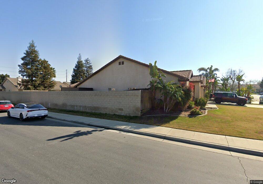
4116 Sierra Grove Ln Bakersfield, CA 93312
Riverlakes NeighborhoodEstimated Value: $424,286 - $448,000
3
Beds
2
Baths
2,014
Sq Ft
$217/Sq Ft
Est. Value
About This Home
This home is located at 4116 Sierra Grove Ln, Bakersfield, CA 93312 and is currently estimated at $436,822, approximately $216 per square foot. 4116 Sierra Grove Ln is a home located in Kern County with nearby schools including Endeavour Elementary School, Centennial High School, and Country Christian School.
Ownership History
Date
Name
Owned For
Owner Type
Purchase Details
Closed on
Aug 13, 2019
Sold by
Tomlinson Thomas W and Tomlinson Frances M
Bought by
Tomlinson Thomas Wesley and Tomlinson Frances Mary
Current Estimated Value
Purchase Details
Closed on
Mar 5, 2003
Sold by
Riverlakes Enterprises Llc
Bought by
Tomlinson Thomas W and Tomlinson Frances M
Home Financials for this Owner
Home Financials are based on the most recent Mortgage that was taken out on this home.
Original Mortgage
$153,550
Interest Rate
6.06%
Mortgage Type
Purchase Money Mortgage
Create a Home Valuation Report for This Property
The Home Valuation Report is an in-depth analysis detailing your home's value as well as a comparison with similar homes in the area
Home Values in the Area
Average Home Value in this Area
Purchase History
| Date | Buyer | Sale Price | Title Company |
|---|---|---|---|
| Tomlinson Thomas Wesley | -- | None Available | |
| Tomlinson Thomas W | $162,000 | Ticor Title |
Source: Public Records
Mortgage History
| Date | Status | Borrower | Loan Amount |
|---|---|---|---|
| Previous Owner | Tomlinson Thomas W | $153,550 |
Source: Public Records
Tax History Compared to Growth
Tax History
| Year | Tax Paid | Tax Assessment Tax Assessment Total Assessment is a certain percentage of the fair market value that is determined by local assessors to be the total taxable value of land and additions on the property. | Land | Improvement |
|---|---|---|---|---|
| 2025 | $3,320 | $229,880 | $56,858 | $173,022 |
| 2024 | $3,258 | $225,374 | $55,744 | $169,630 |
| 2023 | $3,258 | $220,955 | $54,651 | $166,304 |
| 2022 | $3,201 | $216,624 | $53,580 | $163,044 |
| 2021 | $3,087 | $212,378 | $52,530 | $159,848 |
| 2020 | $3,067 | $210,201 | $51,992 | $158,209 |
| 2019 | $2,943 | $210,201 | $51,992 | $158,209 |
| 2018 | $2,950 | $202,040 | $49,974 | $152,066 |
| 2017 | $2,880 | $198,080 | $48,995 | $149,085 |
| 2016 | $2,693 | $194,197 | $48,035 | $146,162 |
| 2015 | $2,666 | $191,281 | $47,314 | $143,967 |
| 2014 | $2,609 | $187,535 | $46,388 | $141,147 |
Source: Public Records
Map
Nearby Homes
- 8214 Maple Grove Ln
- 8507 Sun Harbor Dr
- 8503 Sun Harbor Dr
- 8918 Red River Ct
- 9000 Willamette Ct
- 8400 Winlock St
- 4608 Scalloway Ct
- 7417 Maleta Ct
- 8505 Rollingbay Dr
- 8700 Rollingbay Dr
- 8711 Winlock St
- 4615 Islands Dr
- 8915 Chisholm Dr
- 3817 Southpass Dr
- 7421 Feather River Dr
- 8118 Whitewater Dr
- 8711 Hoodsport Ave
- 7601 Live Oak Way
- 9126 Anchor Island Ct
- 7625 Weldon Ave
- 4112 Sierra Grove Ln
- 4108 Sierra Grove Ln
- 4119 Falcon Grove Ct
- 4115 Falcon Grove Ct
- 8201 River Hawk Ln
- 8118 River Hawk Ln
- 8114 River Hawk Ln
- 4111 Falcon Grove Ct
- 8200 River Hawk Ln
- 4104 Sierra Grove Ln
- 8110 River Hawk Ln
- 4202 Pacific Grove Ct
- 4107 Falcon Grove Ct
- 8205 River Hawk Ln
- 8202 Maple Grove Ln
- 8106 River Hawk Ln
- 4100 Sierra Grove Ln
- 4206 Pacific Grove Ct
- 8209 River Hawk Ln
- 4103 Falcon Grove Ct