4117 Ruby Run Dr Rootstown, OH 44272
Estimated Value: $406,000 - $550,000
4
Beds
3
Baths
2,792
Sq Ft
$179/Sq Ft
Est. Value
About This Home
This home is located at 4117 Ruby Run Dr, Rootstown, OH 44272 and is currently estimated at $499,010, approximately $178 per square foot. 4117 Ruby Run Dr is a home located in Portage County with nearby schools including Rootstown Middle School - Schnee Building and Rootstown High School.
Ownership History
Date
Name
Owned For
Owner Type
Purchase Details
Closed on
Apr 23, 2018
Sold by
Mizer Gina
Bought by
Sharp Scott and Prusky Bethany
Current Estimated Value
Home Financials for this Owner
Home Financials are based on the most recent Mortgage that was taken out on this home.
Original Mortgage
$320,400
Outstanding Balance
$272,688
Interest Rate
4.46%
Mortgage Type
New Conventional
Estimated Equity
$226,322
Purchase Details
Closed on
Dec 10, 2013
Sold by
Mizer Dale
Bought by
Mizer Gina
Purchase Details
Closed on
Nov 17, 2003
Sold by
Wischt Development
Bought by
Mizer Dale and Mizer Gina
Home Financials for this Owner
Home Financials are based on the most recent Mortgage that was taken out on this home.
Original Mortgage
$247,600
Interest Rate
6.1%
Mortgage Type
Purchase Money Mortgage
Create a Home Valuation Report for This Property
The Home Valuation Report is an in-depth analysis detailing your home's value as well as a comparison with similar homes in the area
Purchase History
| Date | Buyer | Sale Price | Title Company |
|---|---|---|---|
| Sharp Scott | $356,000 | None Available | |
| Mizer Gina | -- | None Available | |
| Mizer Dale | $48,000 | Approved Statewide Title Age |
Source: Public Records
Mortgage History
| Date | Status | Borrower | Loan Amount |
|---|---|---|---|
| Open | Sharp Scott | $320,400 | |
| Previous Owner | Mizer Dale | $247,600 |
Source: Public Records
Tax History
| Year | Tax Paid | Tax Assessment Tax Assessment Total Assessment is a certain percentage of the fair market value that is determined by local assessors to be the total taxable value of land and additions on the property. | Land | Improvement |
|---|---|---|---|---|
| 2025 | $6,214 | $150,960 | $21,040 | $129,920 |
| 2024 | $5,970 | $150,960 | $21,040 | $129,920 |
| 2023 | $5,344 | $121,210 | $15,330 | $105,880 |
| 2022 | $5,307 | $121,210 | $15,330 | $105,880 |
| 2021 | $5,333 | $121,210 | $15,330 | $105,880 |
| 2020 | $4,899 | $107,380 | $15,330 | $92,050 |
| 2019 | $4,916 | $107,380 | $15,330 | $92,050 |
| 2018 | $4,611 | $95,970 | $15,050 | $80,920 |
| 2017 | $4,611 | $95,970 | $15,050 | $80,920 |
| 2016 | $4,578 | $95,970 | $15,050 | $80,920 |
| 2015 | $4,630 | $95,970 | $15,050 | $80,920 |
| 2014 | $4,528 | $92,120 | $15,050 | $77,070 |
| 2013 | $4,497 | $92,120 | $15,050 | $77,070 |
Source: Public Records
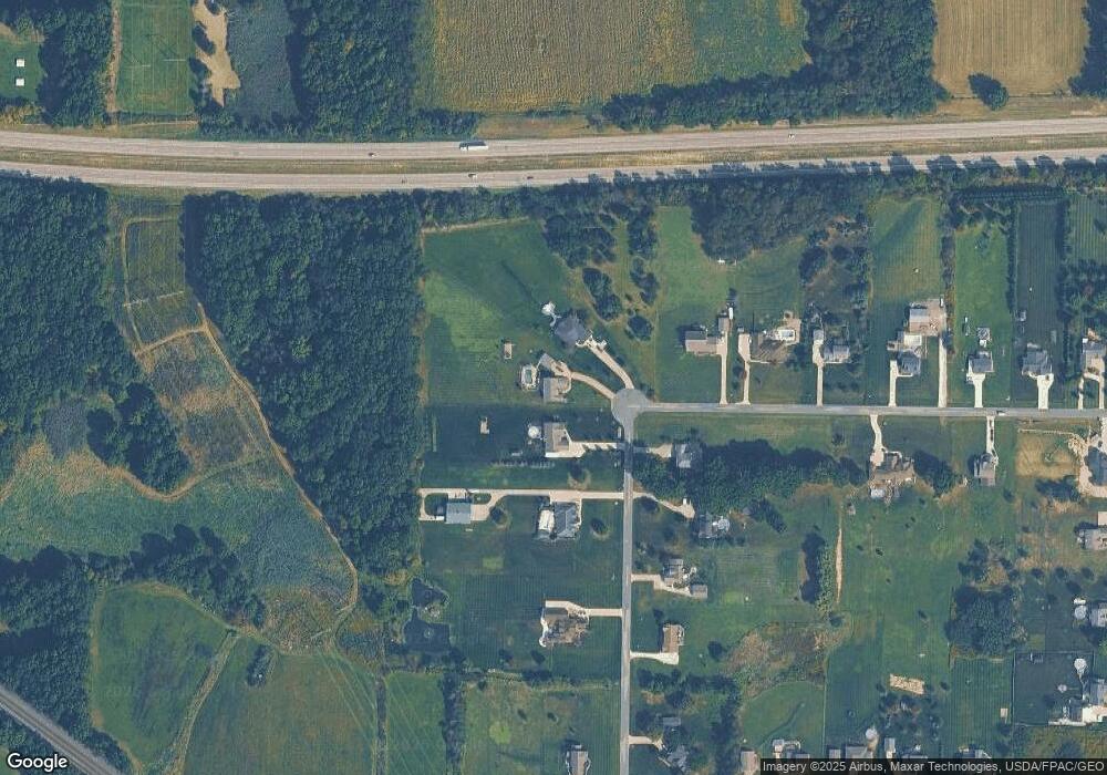
Map
Nearby Homes
- 4200 Hattrick Rd
- 3981 Marsh Creek Ln Unit 37
- 4087 Industry
- 4079 Siefer Dr
- 4415 Farmette Dr
- 3689 Cherry Hill
- 3701 State Route 44
- sub lot Lane Ave
- V/L 2 Lynn Rd
- V/L Lynn Rd
- 4677 Rock Spring Rd
- 3798 State Route 183
- 4058 Bayberry Knoll Ln
- 5394 Juniper Ct
- 524 Ohio Ave
- 4958 Bassett Rd
- 331 Ohio Ave
- 420 Woodland St
- 440 S Freedom St
- 4140 Sandy Lake Rd
- 5269 Ledge Rock Dr
- 4103 Ruby Run Dr
- 4083 Ruby Run Dr
- 4100 Ruby Run Dr
- 5291 Ledge Rock Dr
- 4084 Ruby Run Dr
- S/L 44 Ledge Rock Dr
- 5277 Ledge Rock Dr
- 5311 Ledge Rock Dr
- 4068 Ruby Run Dr
- 4053 Ruby Run Dr
- 4048 Ruby Run Dr
- 5327 Ledge Rock Dr
- V/L 19 Ledge Rock Dr
- S/L 20 Ledge Rock Dr
- S/L 46 Ledge Rock Dr
- S/L 45 Ledge Rock Dr
- S/L 18 Ledge Rock Dr
- S/L 16 Ledge Rock Dr
- S/L 24 Ledge Rock Dr
Your Personal Tour Guide
Ask me questions while you tour the home.