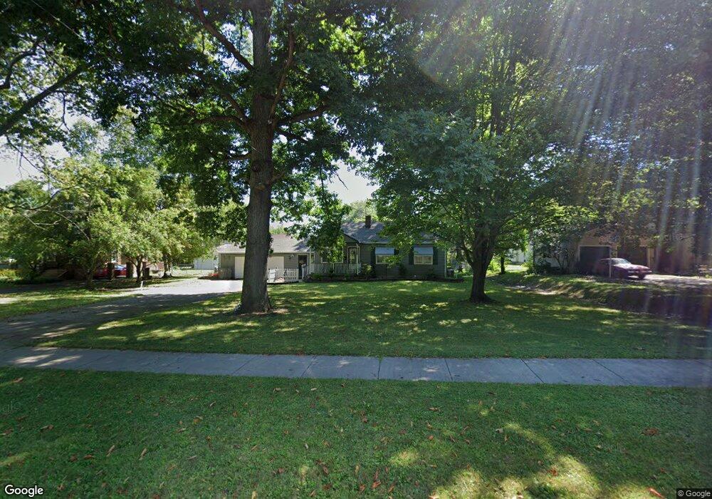
4117 Sheridan Rd Youngstown, OH 44514
Estimated Value: $132,237 - $162,000
3
Beds
1
Bath
1,592
Sq Ft
$95/Sq Ft
Est. Value
About This Home
This home is located at 4117 Sheridan Rd, Youngstown, OH 44514 and is currently estimated at $151,809, approximately $95 per square foot. 4117 Sheridan Rd is a home located in Mahoning County with nearby schools including Paul C. Bunn Elementary School, Chaney High School, and Summit Academy Secondary School - Youngstown.
Ownership History
Date
Name
Owned For
Owner Type
Purchase Details
Closed on
Dec 8, 2018
Sold by
Estate Of Lori Ann Fantone
Bought by
Ziemianski Robert
Current Estimated Value
Purchase Details
Closed on
Jan 5, 2007
Sold by
Ripley Delbert E and Ripley Barbara L
Bought by
Hodge Daniel E and Hodge Peggy A
Home Financials for this Owner
Home Financials are based on the most recent Mortgage that was taken out on this home.
Original Mortgage
$72,900
Interest Rate
6.24%
Mortgage Type
Purchase Money Mortgage
Purchase Details
Closed on
May 25, 1994
Bought by
Ripley Delbert and Ripley Barbara
Create a Home Valuation Report for This Property
The Home Valuation Report is an in-depth analysis detailing your home's value as well as a comparison with similar homes in the area
Home Values in the Area
Average Home Value in this Area
Purchase History
| Date | Buyer | Sale Price | Title Company |
|---|---|---|---|
| Ziemianski Robert | -- | None Available | |
| Hodge Daniel E | $81,000 | None Available | |
| Ripley Delbert | $60,000 | -- |
Source: Public Records
Mortgage History
| Date | Status | Borrower | Loan Amount |
|---|---|---|---|
| Previous Owner | Hodge Daniel E | $72,900 |
Source: Public Records
Tax History Compared to Growth
Tax History
| Year | Tax Paid | Tax Assessment Tax Assessment Total Assessment is a certain percentage of the fair market value that is determined by local assessors to be the total taxable value of land and additions on the property. | Land | Improvement |
|---|---|---|---|---|
| 2024 | $1,673 | $35,150 | $3,710 | $31,440 |
| 2023 | $1,660 | $35,150 | $3,710 | $31,440 |
| 2022 | $1,548 | $25,230 | $3,830 | $21,400 |
| 2021 | $1,548 | $25,230 | $3,830 | $21,400 |
| 2020 | $1,557 | $25,230 | $3,830 | $21,400 |
| 2019 | $1,550 | $22,530 | $3,420 | $19,110 |
| 2018 | $1,565 | $22,530 | $3,420 | $19,110 |
| 2017 | $1,562 | $22,530 | $3,420 | $19,110 |
| 2016 | $1,536 | $23,840 | $3,420 | $20,420 |
| 2015 | $1,504 | $23,840 | $3,420 | $20,420 |
| 2014 | $1,493 | $23,840 | $3,420 | $20,420 |
| 2013 | $1,472 | $23,840 | $3,420 | $20,420 |
Source: Public Records
Map
Nearby Homes
- 1928 Medford Ave
- 1954 Everett Ave
- 1646 Weston Ave
- 2020 Medford Ave
- 1653 Brownlee Ave
- 2001 Brownlee Ave
- 1654 Wakefield Ave
- 2007 E Midlothian Blvd
- 1633 Wakefield Ave
- 4528 Sheridan Rd
- 1560 Wakefield Ave
- 2016 Pointview Ave
- 0 Crescent Dr Unit 5124984
- 1513 Wakefield Ave
- 3509 Lenox Ave
- 2014 Country Club Ave
- 3551 Shirley Rd
- 1885 Country Club Ave
- 574 Spring St
- 3448 Neilson Ave
- 4107 Sheridan Rd
- 4127 Sheridan Rd
- 1922 Medford Ave
- 1921 Weston Ave
- 1925 Weston Ave
- 1931 Weston Ave
- 1936 Medford Ave
- 4027 Sheridan Rd
- 4207 Sheridan Rd
- 1937 Weston Ave
- 1923 Medford Ave
- 4128 Sheridan Rd
- 1941 Weston Ave
- 1944 Medford Ave
- 4108 Sheridan Rd
- 1926 Weston Ave
- 4118 Sheridan Rd
- 1927 Medford Ave
- 1932 Weston Ave
- 1933 Medford Ave