4117 Wildlife Rd Center Point, IA 52213
Estimated Value: $295,000 - $551,139
4
Beds
1
Bath
1,622
Sq Ft
$270/Sq Ft
Est. Value
About This Home
This home is located at 4117 Wildlife Rd, Center Point, IA 52213 and is currently estimated at $438,380, approximately $270 per square foot. 4117 Wildlife Rd is a home with nearby schools including Center Point-Urbana Primary School, Center Point-Urbana Intermediate School, and Center Point-Urbana Middle School.
Ownership History
Date
Name
Owned For
Owner Type
Purchase Details
Closed on
Oct 24, 1997
Sold by
Brooks Verle A and Brooks Charlotte A
Bought by
Jones Ty N and Oler Christy L
Current Estimated Value
Home Financials for this Owner
Home Financials are based on the most recent Mortgage that was taken out on this home.
Original Mortgage
$80,000
Outstanding Balance
$12,921
Interest Rate
7.51%
Mortgage Type
Purchase Money Mortgage
Estimated Equity
$425,459
Create a Home Valuation Report for This Property
The Home Valuation Report is an in-depth analysis detailing your home's value as well as a comparison with similar homes in the area
Home Values in the Area
Average Home Value in this Area
Purchase History
| Date | Buyer | Sale Price | Title Company |
|---|---|---|---|
| Jones Ty N | $119,500 | -- |
Source: Public Records
Mortgage History
| Date | Status | Borrower | Loan Amount |
|---|---|---|---|
| Open | Jones Ty N | $80,000 |
Source: Public Records
Tax History Compared to Growth
Tax History
| Year | Tax Paid | Tax Assessment Tax Assessment Total Assessment is a certain percentage of the fair market value that is determined by local assessors to be the total taxable value of land and additions on the property. | Land | Improvement |
|---|---|---|---|---|
| 2025 | $5,028 | $384,800 | $13,300 | $371,500 |
| 2024 | $4,358 | $365,000 | $11,400 | $353,600 |
| 2023 | $4,358 | $365,000 | $11,400 | $353,600 |
| 2022 | $4,288 | $268,700 | $8,100 | $260,600 |
| 2021 | $4,178 | $268,700 | $8,100 | $260,600 |
| 2020 | $4,178 | $250,700 | $8,700 | $242,000 |
| 2019 | $3,996 | $249,200 | $11,900 | $237,300 |
| 2018 | $3,900 | $249,200 | $11,900 | $237,300 |
| 2017 | $4,233 | $267,300 | $13,500 | $253,800 |
| 2016 | $4,233 | $267,300 | $13,500 | $253,800 |
| 2015 | $4,383 | $282,500 | $20,400 | $262,100 |
| 2014 | $4,230 | $282,600 | $20,400 | $262,200 |
| 2013 | $4,118 | $282,600 | $20,400 | $262,200 |
Source: Public Records
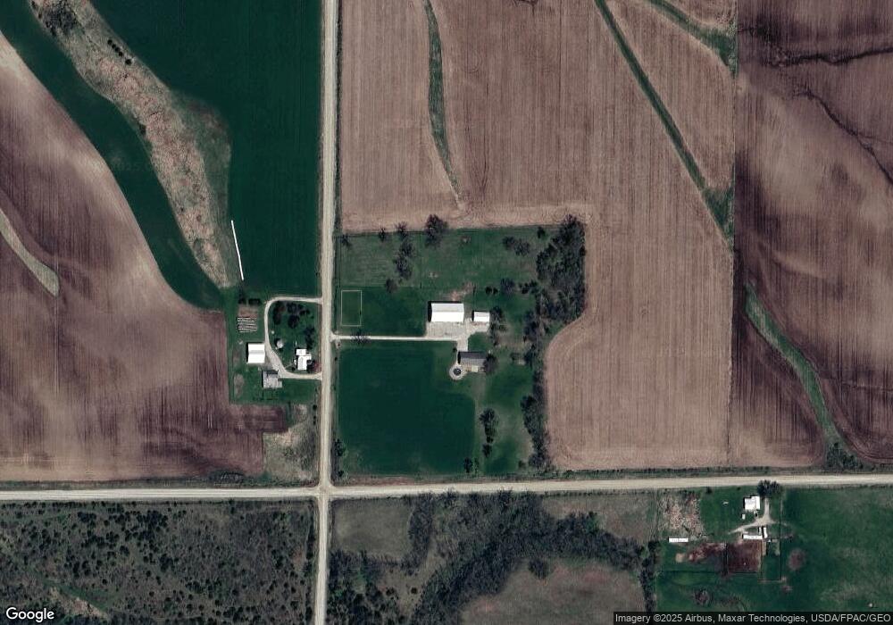
Map
Nearby Homes
- 4299 Lewis Access Rd
- 0 Grain Ln
- 829 Main St S
- 0 Palo Rd
- 523 E Terrace Dr
- 529 Jefferson Ct
- 318 Crestview Dr
- 31 Acres N Center Point Rd
- 0 Indian Boundary Rd
- 115 Main St
- 0 Iowa St
- 717 Pointer Cir
- 718 Pointer Cir
- 809 Iowa St
- 120 Green St
- 132 Green St
- 316 E Washington St
- 507 Maplewood Dr
- 601 Maplewood Dr
- 702 Central Ave
- 4114 Wildlife Rd
- 4246 Cedar Heights Rd
- 4120 High Woods Rd
- 4221 Cedar Heights Rd
- 4357 Cedar Heights Rd
- 4113 High Woods Rd
- 4366 Cedar Heights Rd
- 4374 Cedar Heights Rd
- 4034 High Woods Rd
- 4299 Lewis Access Rd Unit Lot 2
- 4299 Lewis Access Rd Unit Lot 3
- 4299 Lewis Access Rd Unit LOT 1
- 4045 Williams Lake Rd
- 4030 High Woods Rd
- 4197 Carole Ct
- 4022 High Woods Rd
- 4191 Carole Ct
- 4004 High Woods Rd
- 4195 Carole Ct
- 4034 Williams Lake Rd