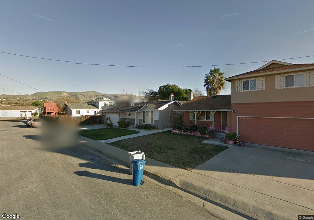
4118 Colby St Fremont, CA 94538
Grimmer NeighborhoodEstimated Value: $1,624,187 - $1,878,000
3
Beds
2
Baths
1,800
Sq Ft
$952/Sq Ft
Est. Value
About This Home
This home is located at 4118 Colby St, Fremont, CA 94538 and is currently estimated at $1,713,297, approximately $951 per square foot. 4118 Colby St is a home located in Alameda County with nearby schools including Harvey Green Elementary School, John M. Horner Junior High School, and Irvington High School.
Ownership History
Date
Name
Owned For
Owner Type
Purchase Details
Closed on
Apr 13, 2009
Sold by
Lyons Donald R and Lyons Karen L
Bought by
Yu Pei K and Hsiao Ju E
Current Estimated Value
Home Financials for this Owner
Home Financials are based on the most recent Mortgage that was taken out on this home.
Original Mortgage
$350,000
Outstanding Balance
$223,975
Interest Rate
5.17%
Mortgage Type
Purchase Money Mortgage
Estimated Equity
$1,489,322
Purchase Details
Closed on
Sep 16, 2008
Sold by
Mears Michael William and Mears Arlene A
Bought by
Lyons Donald R and Lyons Karen L
Create a Home Valuation Report for This Property
The Home Valuation Report is an in-depth analysis detailing your home's value as well as a comparison with similar homes in the area
Home Values in the Area
Average Home Value in this Area
Purchase History
| Date | Buyer | Sale Price | Title Company |
|---|---|---|---|
| Yu Pei K | $470,000 | First American Title Company | |
| Lyons Donald R | $54,286 | None Available |
Source: Public Records
Mortgage History
| Date | Status | Borrower | Loan Amount |
|---|---|---|---|
| Open | Yu Pei K | $350,000 |
Source: Public Records
Tax History Compared to Growth
Tax History
| Year | Tax Paid | Tax Assessment Tax Assessment Total Assessment is a certain percentage of the fair market value that is determined by local assessors to be the total taxable value of land and additions on the property. | Land | Improvement |
|---|---|---|---|---|
| 2025 | $7,548 | $605,204 | $181,561 | $423,643 |
| 2024 | $7,548 | $593,341 | $178,002 | $415,339 |
| 2023 | $7,340 | $581,708 | $174,512 | $407,196 |
| 2022 | $7,237 | $570,307 | $171,092 | $399,215 |
| 2021 | $7,063 | $559,125 | $167,737 | $391,388 |
| 2020 | $7,054 | $553,396 | $166,019 | $387,377 |
| 2019 | $6,975 | $542,548 | $162,764 | $379,784 |
| 2018 | $6,839 | $531,912 | $159,573 | $372,339 |
| 2017 | $6,669 | $521,483 | $156,445 | $365,038 |
| 2016 | $6,552 | $511,260 | $153,378 | $357,882 |
| 2015 | $6,462 | $503,585 | $151,075 | $352,510 |
| 2014 | $6,348 | $493,724 | $148,117 | $345,607 |
Source: Public Records
Map
Nearby Homes
- 262 Manitoba Green
- 261 Manitoba Green Unit 261
- 257 Manitoba Green
- 208 Manitoba Terrace
- 42932 Peachwood St
- 42759 Newport Dr
- 42747 Wixon Dr
- 48 Eagle Green
- 4309 Bora Ave
- 43163 Grimmer Terrace
- 3923 Wildflower Common Unit 19
- 3872 Wildflower Common Unit 27
- 4533 Capewood Terrace
- 4537 Capewood Terrace
- 43580 Homestead Ct
- 3493 Router Common
- 3470 Router Common
- 3388 Router Common
- 44661 Wisdom Rd
- 3918 Fossano Common