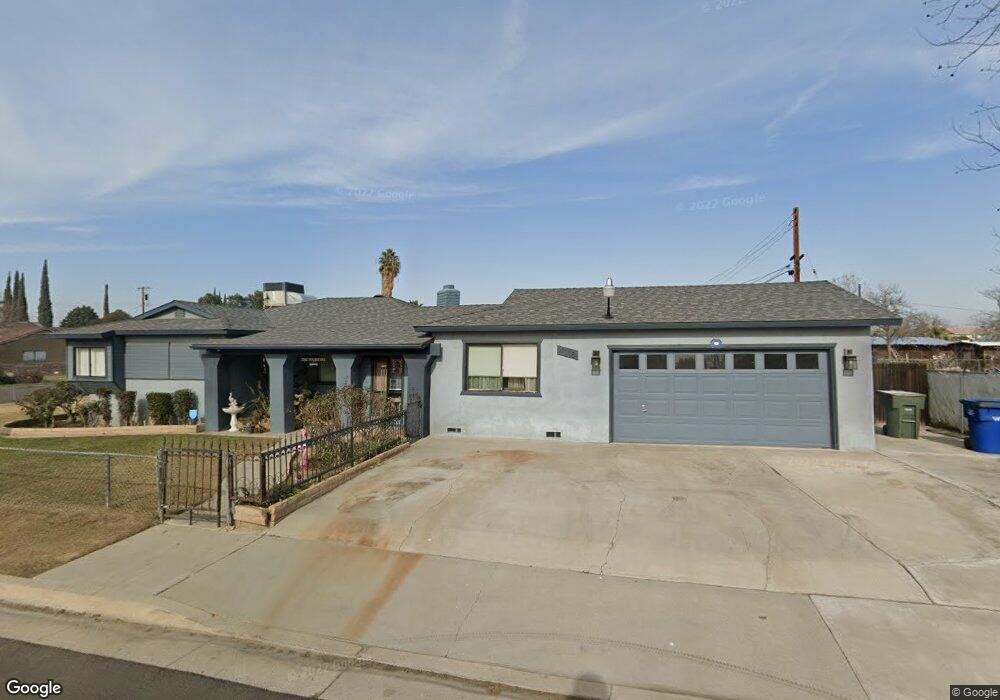
4118 Fishering Dr Bakersfield, CA 93309
Southwest Bakersfield NeighborhoodEstimated Value: $272,417 - $306,000
3
Beds
2
Baths
1,048
Sq Ft
$282/Sq Ft
Est. Value
About This Home
This home is located at 4118 Fishering Dr, Bakersfield, CA 93309 and is currently estimated at $295,604, approximately $282 per square foot. 4118 Fishering Dr is a home located in Kern County with nearby schools including Munsey Elementary School, Curran Middle School, and West High School.
Ownership History
Date
Name
Owned For
Owner Type
Purchase Details
Closed on
Sep 12, 2012
Sold by
Mcgregor Clifford Eugene
Bought by
Mcgregor Clifford Eugene and Mcgregor Kit E
Current Estimated Value
Purchase Details
Closed on
Mar 24, 1999
Sold by
Mcgregor Clifford Eugene
Bought by
Mcgregor Clifford Eugene
Home Financials for this Owner
Home Financials are based on the most recent Mortgage that was taken out on this home.
Original Mortgage
$46,000
Interest Rate
6.73%
Create a Home Valuation Report for This Property
The Home Valuation Report is an in-depth analysis detailing your home's value as well as a comparison with similar homes in the area
Home Values in the Area
Average Home Value in this Area
Purchase History
| Date | Buyer | Sale Price | Title Company |
|---|---|---|---|
| Mcgregor Clifford Eugene | -- | None Available | |
| Mcgregor Clifford Eugene | -- | Fidelity National Title Co |
Source: Public Records
Mortgage History
| Date | Status | Borrower | Loan Amount |
|---|---|---|---|
| Closed | Mcgregor Clifford Eugene | $46,000 |
Source: Public Records
Tax History Compared to Growth
Tax History
| Year | Tax Paid | Tax Assessment Tax Assessment Total Assessment is a certain percentage of the fair market value that is determined by local assessors to be the total taxable value of land and additions on the property. | Land | Improvement |
|---|---|---|---|---|
| 2025 | $1,428 | $81,186 | $11,217 | $69,969 |
| 2024 | $1,428 | $79,596 | $10,998 | $68,598 |
| 2023 | $1,379 | $78,036 | $10,783 | $67,253 |
| 2022 | $1,308 | $76,507 | $10,572 | $65,935 |
| 2021 | $1,224 | $75,008 | $10,365 | $64,643 |
| 2020 | $1,181 | $74,240 | $10,259 | $63,981 |
| 2019 | $1,156 | $74,240 | $10,259 | $63,981 |
| 2018 | $1,115 | $71,359 | $9,861 | $61,498 |
| 2017 | $1,103 | $69,961 | $9,668 | $60,293 |
| 2016 | $1,023 | $68,590 | $9,479 | $59,111 |
| 2015 | $1,021 | $67,561 | $9,337 | $58,224 |
| 2014 | $993 | $66,239 | $9,155 | $57,084 |
Source: Public Records
Map
Nearby Homes
- 612 Prosser Ave
- 4008 Fishering Dr
- 608 Prosser Ave
- 608 Prosser St
- 4200 Fishering Dr
- 208 Fishering Dr
- 213 Fishering Dr
- 613 Prosser Ave
- 604 Prosser Ave
- 207 Fishering Dr
- 609 Prosser Ave
- 215 Fishering Dr
- 205 Fishering Dr
- 600 Prosser Ave
- 605 Prosser Ave
- 219 Fishering Dr
- 202 Fishering Dr
- 4218 Fishering Dr
- 612 Middlefield St
- 601 Prosser Ave