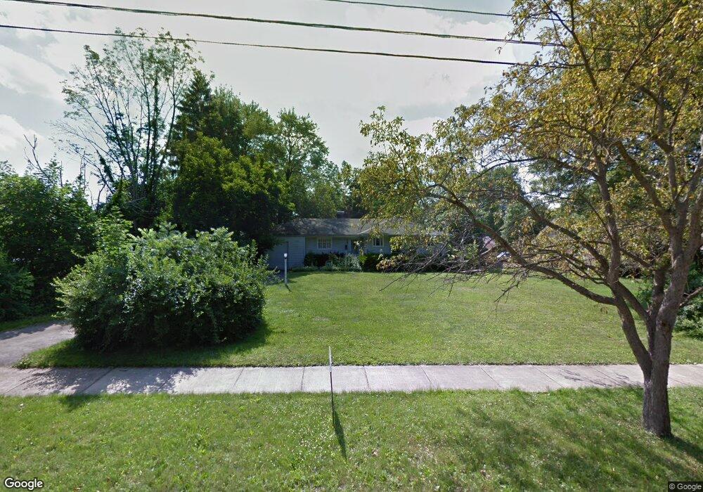
4118 Sheridan Rd Youngstown, OH 44514
Estimated Value: $103,622 - $158,000
3
Beds
1
Bath
1,242
Sq Ft
$105/Sq Ft
Est. Value
About This Home
This home is located at 4118 Sheridan Rd, Youngstown, OH 44514 and is currently estimated at $130,406, approximately $104 per square foot. 4118 Sheridan Rd is a home located in Mahoning County with nearby schools including Paul C. Bunn Elementary School, Chaney High School, and Summit Academy Secondary School - Youngstown.
Ownership History
Date
Name
Owned For
Owner Type
Purchase Details
Closed on
Jan 23, 2025
Sold by
4118 Sheridan Road Llc
Bought by
M And H Properties Llc
Current Estimated Value
Purchase Details
Closed on
Mar 2, 1998
Bought by
4118 Sheridan Road Llc
Create a Home Valuation Report for This Property
The Home Valuation Report is an in-depth analysis detailing your home's value as well as a comparison with similar homes in the area
Home Values in the Area
Average Home Value in this Area
Purchase History
| Date | Buyer | Sale Price | Title Company |
|---|---|---|---|
| M And H Properties Llc | -- | None Listed On Document | |
| M And H Properties Llc | -- | None Listed On Document | |
| 4118 Sheridan Road Llc | -- | -- |
Source: Public Records
Tax History Compared to Growth
Tax History
| Year | Tax Paid | Tax Assessment Tax Assessment Total Assessment is a certain percentage of the fair market value that is determined by local assessors to be the total taxable value of land and additions on the property. | Land | Improvement |
|---|---|---|---|---|
| 2024 | $1,124 | $22,990 | $3,560 | $19,430 |
| 2023 | $1,116 | $22,990 | $3,560 | $19,430 |
| 2022 | $1,234 | $19,580 | $3,670 | $15,910 |
| 2021 | $1,234 | $19,580 | $3,670 | $15,910 |
| 2020 | $1,241 | $19,580 | $3,670 | $15,910 |
| 2019 | $1,236 | $17,490 | $3,280 | $14,210 |
| 2018 | $1,249 | $17,490 | $3,280 | $14,210 |
| 2017 | $830 | $17,490 | $3,280 | $14,210 |
| 2016 | $414 | $6,230 | $3,280 | $2,950 |
| 2015 | $406 | $6,230 | $3,280 | $2,950 |
| 2014 | $403 | $6,230 | $3,280 | $2,950 |
| 2013 | $1,311 | $20,640 | $3,280 | $17,360 |
Source: Public Records
Map
Nearby Homes
- 1928 Medford Ave
- 1653 Brownlee Ave
- 1654 Wakefield Ave
- 1646 Weston Ave
- 1665 Wakefield Ave
- 1633 Wakefield Ave
- 2001 Brownlee Ave
- 1954 Everett Ave
- 2020 Medford Ave
- 4528 Sheridan Rd
- 1560 Wakefield Ave
- 2007 E Midlothian Blvd
- 1513 Wakefield Ave
- 2016 Pointview Ave
- 0 Crescent Dr Unit 5124984
- 1885 Country Club Ave
- 2014 Country Club Ave
- 3509 Lenox Ave
- 3551 Shirley Rd
- 574 Spring St
- 4108 Sheridan Rd
- 4128 Sheridan Rd
- 1678 Medford Ave
- 1674 Medford Ave
- 1673 Weston Ave
- 1670 Medford Ave
- 1669 Weston Ave
- 1665 Weston Ave
- 1666 Medford Ave
- 4208 Sheridan Rd
- 4028 Sheridan Rd
- 1684 Weston Ave
- 1661 Weston Ave
- 1662 Medford Ave
- 4127 Sheridan Rd
- 1682 Weston Ave
- 4107 Sheridan Rd
- 4117 Sheridan Rd
- 1669 Medford Ave
- 1658 Medford Ave