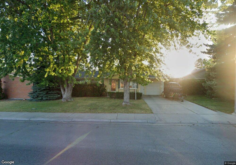
412 15th St W Billings, MT 59102
East Central Billings NeighborhoodEstimated Value: $329,000 - $365,000
5
Beds
2
Baths
2,132
Sq Ft
$162/Sq Ft
Est. Value
About This Home
This home is located at 412 15th St W, Billings, MT 59102 and is currently estimated at $345,702, approximately $162 per square foot. 412 15th St W is a home located in Yellowstone County with nearby schools including Miles Avenue School, Lewis & Clark Junior High School, and Billings West High School.
Ownership History
Date
Name
Owned For
Owner Type
Purchase Details
Closed on
Apr 26, 2016
Sold by
Wiesner Robert H and Wiesner Alma M
Bought by
Carey Tracy and Carey Kathryn A
Current Estimated Value
Home Financials for this Owner
Home Financials are based on the most recent Mortgage that was taken out on this home.
Original Mortgage
$195,395
Outstanding Balance
$153,437
Interest Rate
3.25%
Mortgage Type
FHA
Estimated Equity
$192,265
Purchase Details
Closed on
Mar 14, 2013
Sold by
Wiesner Robert H and Frisbie Alma M
Bought by
Honas Marcella
Create a Home Valuation Report for This Property
The Home Valuation Report is an in-depth analysis detailing your home's value as well as a comparison with similar homes in the area
Home Values in the Area
Average Home Value in this Area
Purchase History
| Date | Buyer | Sale Price | Title Company |
|---|---|---|---|
| Carey Tracy | -- | First Montana Title | |
| Honas Marcella | -- | None Available |
Source: Public Records
Mortgage History
| Date | Status | Borrower | Loan Amount |
|---|---|---|---|
| Open | Carey Tracy | $195,395 |
Source: Public Records
Tax History
| Year | Tax Paid | Tax Assessment Tax Assessment Total Assessment is a certain percentage of the fair market value that is determined by local assessors to be the total taxable value of land and additions on the property. | Land | Improvement |
|---|---|---|---|---|
| 2025 | $2,805 | $332,000 | $48,813 | $283,187 |
| 2024 | $2,805 | $280,800 | $45,009 | $235,791 |
| 2023 | $2,809 | $280,800 | $45,009 | $235,791 |
| 2022 | $2,242 | $237,500 | $0 | $0 |
| 2021 | $2,566 | $237,500 | $0 | $0 |
| 2020 | $2,446 | $214,600 | $0 | $0 |
| 2019 | $2,333 | $214,600 | $0 | $0 |
| 2018 | $2,240 | $201,700 | $0 | $0 |
| 2017 | $1,867 | $201,700 | $0 | $0 |
| 2016 | $2,008 | $187,900 | $0 | $0 |
| 2015 | $586 | $187,900 | $0 | $0 |
| 2014 | $553 | $92,750 | $0 | $0 |
Source: Public Records
Map
Nearby Homes
- 421 14th St W
- 1326 Custer Ave
- 1315 Cook Ave
- 605 Nelson Dr
- 1245 Cook Ave
- 430 Nelson Dr
- 1310 Yellowstone Ave Unit 6
- 1310 Yellowstone Ave Unit 16
- 1736 Broadwater Ave
- 1288 Yellowstone Ave Unit 2
- 1141 Terry Ave
- 1120 Miles Ave
- 1225 Clark Ave
- 11 Alma Ln
- 1824 Yellowstone Ave
- 1240 Eldorado Dr
- 523 Hewitt Dr
- 1204 Eldorado Dr
- 16 19th St W
- 1029 Yellowstone Ave Unit 2
Your Personal Tour Guide
Ask me questions while you tour the home.