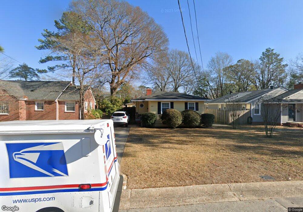
412 Cape Fear Ave Fayetteville, NC 28303
Terry Sanford NeighborhoodEstimated Value: $239,000 - $244,000
3
Beds
3
Baths
1,511
Sq Ft
$160/Sq Ft
Est. Value
About This Home
This home is located at 412 Cape Fear Ave, Fayetteville, NC 28303 and is currently estimated at $241,434, approximately $159 per square foot. 412 Cape Fear Ave is a home located in Cumberland County with nearby schools including Alma O Easom Elementary, Vanstory Hills Elementary School, and R. Max Abbott Middle School.
Ownership History
Date
Name
Owned For
Owner Type
Purchase Details
Closed on
Feb 28, 2000
Sold by
Gore Brian B
Bought by
Schroer Herbert A
Current Estimated Value
Home Financials for this Owner
Home Financials are based on the most recent Mortgage that was taken out on this home.
Original Mortgage
$118,000
Outstanding Balance
$39,761
Interest Rate
8.21%
Estimated Equity
$201,673
Create a Home Valuation Report for This Property
The Home Valuation Report is an in-depth analysis detailing your home's value as well as a comparison with similar homes in the area
Home Values in the Area
Average Home Value in this Area
Purchase History
| Date | Buyer | Sale Price | Title Company |
|---|---|---|---|
| Schroer Herbert A | $118,000 | -- |
Source: Public Records
Mortgage History
| Date | Status | Borrower | Loan Amount |
|---|---|---|---|
| Open | Schroer Herbert A | $118,000 |
Source: Public Records
Tax History Compared to Growth
Tax History
| Year | Tax Paid | Tax Assessment Tax Assessment Total Assessment is a certain percentage of the fair market value that is determined by local assessors to be the total taxable value of land and additions on the property. | Land | Improvement |
|---|---|---|---|---|
| 2024 | $2,897 | $116,808 | $41,250 | $75,558 |
| 2023 | $2,404 | $116,808 | $41,250 | $75,558 |
| 2022 | $2,157 | $116,808 | $41,250 | $75,558 |
| 2021 | $2,157 | $116,808 | $41,250 | $75,558 |
| 2019 | $2,122 | $138,900 | $41,250 | $97,650 |
| 2018 | $2,122 | $138,900 | $41,250 | $97,650 |
| 2017 | $2,019 | $138,900 | $41,250 | $97,650 |
| 2016 | $1,689 | $125,200 | $41,250 | $83,950 |
| 2015 | $1,672 | $125,200 | $41,250 | $83,950 |
| 2014 | $1,665 | $125,200 | $41,250 | $83,950 |
Source: Public Records
Map
Nearby Homes
- 725 Greenland Dr
- 626 Cape Fear Ave
- 523 Westmont Dr
- 714 Westmont Dr
- 703 Glenwood Dr
- 717 Glenwood Dr
- 704 Glenwood Dr
- 816 Pilot Ave
- 610 Huske St
- 933 Creek Side Run
- 217 Litchfield Place
- 719 Kooler Cir
- 1420 Summitt Ave
- 1416 Briarcliff Dr Unit 1, 2, 3
- 1802 Morganton Rd
- 1412, 1414 Briarcliff Dr
- 1914 Morganton Rd
- 410 Cape Fear Ave
- 414 Cape Fear Ave
- 408 Cape Fear Ave
- 406 Cape Fear Ave
- 413 Cape Fear Ave
- 409 Cape Fear Ave
- 411 Cape Fear Ave
- 423 Pearl St
- 407 Cape Fear Ave
- 421 Pearl St
- 415 Cape Fear Ave
- 425 Pearl St
- 417 Pearl St
- 500 Cape Fear Ave
- 405 Cape Fear Ave
- 501 Pearl St
- 501 Cape Fear Ave
- 403 Cape Fear Ave
- 502 Cape Fear Ave
- 402 Cape Fear Ave