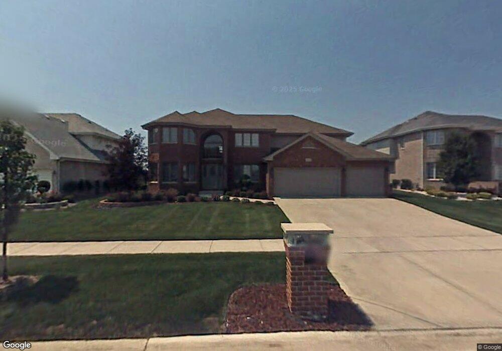
412 Carrick Rd Matteson, IL 60443
Old Matteson NeighborhoodEstimated Value: $426,029 - $477,000
4
Beds
3
Baths
3,483
Sq Ft
$132/Sq Ft
Est. Value
About This Home
This home is located at 412 Carrick Rd, Matteson, IL 60443 and is currently estimated at $458,507, approximately $131 per square foot. 412 Carrick Rd is a home located in Cook County with nearby schools including Illinois School, Arcadia Elementary School, and Indiana Elementary School.
Ownership History
Date
Name
Owned For
Owner Type
Purchase Details
Closed on
Jan 11, 2023
Sold by
Elam Mandel
Bought by
Elam Family Revocable Living Trust
Current Estimated Value
Purchase Details
Closed on
Mar 12, 2004
Sold by
State Bank Of Countryside
Bought by
Elam Mandel
Home Financials for this Owner
Home Financials are based on the most recent Mortgage that was taken out on this home.
Original Mortgage
$354,565
Interest Rate
7.69%
Mortgage Type
Unknown
Create a Home Valuation Report for This Property
The Home Valuation Report is an in-depth analysis detailing your home's value as well as a comparison with similar homes in the area
Home Values in the Area
Average Home Value in this Area
Purchase History
| Date | Buyer | Sale Price | Title Company |
|---|---|---|---|
| Elam Family Revocable Living Trust | -- | None Listed On Document | |
| Elam Mandel | $355,000 | -- |
Source: Public Records
Mortgage History
| Date | Status | Borrower | Loan Amount |
|---|---|---|---|
| Previous Owner | Elam Mandel | $354,565 |
Source: Public Records
Tax History
| Year | Tax Paid | Tax Assessment Tax Assessment Total Assessment is a certain percentage of the fair market value that is determined by local assessors to be the total taxable value of land and additions on the property. | Land | Improvement |
|---|---|---|---|---|
| 2025 | $14,336 | $38,000 | $5,872 | $32,128 |
| 2024 | $14,336 | $38,000 | $5,872 | $32,128 |
| 2023 | $13,123 | $38,000 | $5,872 | $32,128 |
| 2022 | $13,123 | $27,612 | $5,072 | $22,540 |
| 2021 | $13,353 | $27,610 | $5,071 | $22,539 |
| 2020 | $12,482 | $27,610 | $5,071 | $22,539 |
| 2019 | $13,118 | $28,775 | $4,537 | $24,238 |
| 2018 | $13,112 | $28,775 | $4,537 | $24,238 |
| 2017 | $12,618 | $28,775 | $4,537 | $24,238 |
| 2016 | $12,197 | $27,302 | $4,003 | $23,299 |
| 2015 | $12,030 | $27,302 | $4,003 | $23,299 |
| 2014 | $11,679 | $27,302 | $4,003 | $23,299 |
| 2013 | $12,915 | $32,551 | $4,003 | $28,548 |
Source: Public Records
Map
Nearby Homes
- 620 Larkspur Ln
- 4500 203rd St
- 744 Academy Ave
- 20813 Homeland Rd
- 98 Lawrence Ln
- 153 Treehouse Rd
- 820 School Ave
- 722 Kostner Ave
- 135 Treehouse Rd
- 858 Academy Ave
- 175 Owen St
- 154 Sundance Rd
- 4141 204th St
- 78 Kenneth St
- 4325 Oakwood Ln
- 4613 Lindenwood Ct
- 5327 Northwestern Dr
- 763 Cambridge Ave
- 51 Manor Dr
- 255 Central Ave
- 420 Carrick Rd
- 406 Carrick Rd
- 406 Carrick Rd
- 4705 Blarney Dr
- 426 Carrick Rd Unit 3
- 411 Carrick Rd
- 4709 Blarney Dr
- 415 Carrick Rd
- 423 Carrick Rd
- 432 Carrick Rd
- 4700 Blarney Dr
- 4704 Blarney Dr
- 4617 Blarney Dr
- 4626 Blarney Dr
- 433 Carrick Rd
- 4713 Blarney Dr
- 321 Grafton Place
- 4620 Blarney Dr
- 438 Carrick Rd
- 438 Homeland Rd
Your Personal Tour Guide
Ask me questions while you tour the home.