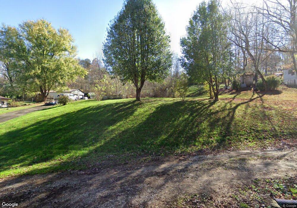
412 Ducktown Cir Palmer, TN 37365
Estimated Value: $88,320 - $206,000
3
Beds
1
Bath
960
Sq Ft
$145/Sq Ft
Est. Value
About This Home
This home is located at 412 Ducktown Cir, Palmer, TN 37365 and is currently estimated at $139,330, approximately $145 per square foot. 412 Ducktown Cir is a home located in Grundy County.
Ownership History
Date
Name
Owned For
Owner Type
Purchase Details
Closed on
Feb 25, 2014
Sold by
Shrum Marjory J
Bought by
Meeks Bobby and Meeks Stacie
Current Estimated Value
Purchase Details
Closed on
Aug 21, 2003
Sold by
Britton France M
Bought by
Shrum Marjorie J
Create a Home Valuation Report for This Property
The Home Valuation Report is an in-depth analysis detailing your home's value as well as a comparison with similar homes in the area
Home Values in the Area
Average Home Value in this Area
Purchase History
| Date | Buyer | Sale Price | Title Company |
|---|---|---|---|
| Meeks Bobby | -- | -- | |
| Shrum Marjorie J | -- | -- |
Source: Public Records
Tax History Compared to Growth
Tax History
| Year | Tax Paid | Tax Assessment Tax Assessment Total Assessment is a certain percentage of the fair market value that is determined by local assessors to be the total taxable value of land and additions on the property. | Land | Improvement |
|---|---|---|---|---|
| 2024 | $31 | $2,175 | $1,525 | $650 |
| 2023 | $31 | $2,175 | $1,525 | $650 |
| 2022 | $32 | $1,450 | $1,000 | $450 |
| 2021 | $32 | $1,450 | $1,000 | $450 |
| 2020 | $32 | $1,450 | $1,000 | $450 |
| 2019 | $36 | $1,400 | $950 | $450 |
| 2018 | $36 | $1,400 | $950 | $450 |
| 2017 | $36 | $1,400 | $950 | $450 |
| 2016 | $33 | $1,300 | $950 | $350 |
| 2015 | $33 | $1,300 | $950 | $350 |
| 2014 | $33 | $1,300 | $0 | $0 |
Source: Public Records
Map
Nearby Homes
- 0 Main St Unit RTC2796154
- 273 E Lee Dr
- 211 Rock Ave
- 1565 Main St
- 14 Sawmill Rd
- Tract 12 Sawmill Rd
- 13 Sawmill Rd
- 148 Sawmill Rd
- Tract 14 Sawmill Rd
- 12 Sawmill Rd
- Tract 13 Sawmill Rd
- 1077 Rock Ave
- Tract 12 Saw Mill Rd
- Tract 14 Sawmill Rd
- 1970 Rock Ave
- 591 Main St
- 571 Main St
- 0 Keith Brewer Rd
- 1235 Tatesville Rd
- 34 Sr 399
- 430 Ducktown Cir
- 398 Ducktown Cir
- 460 Ducktown Cir
- 173 Ducktown Cir
- 0 Ducktown Cir
- 450 Ducktown Cir
- 348 Ducktown Cir
- 55 Johnson Ln
- 157 Burnt Orchard Rd
- 312 Ducktown Cir
- 301 Big Mine Rd
- 174 Burnt Orchard Rd
- 205 Burnt Orchard Rd
- 121 Burnt Orchard Rd
- 129 Big Mine Rd
- 14 Johnson Ln
- 50 Johnson Ln
- 216 Big Mine Rd
- 266 Big Mine Rd
- 190 Big Mine Rd
